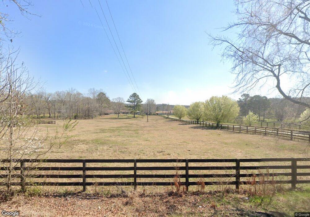
125 Angel Rd SW Cave Spring, GA 30124
Estimated Value: $520,313 - $562,000
3
Beds
2
Baths
1,809
Sq Ft
$300/Sq Ft
Est. Value
About This Home
This home is located at 125 Angel Rd SW, Cave Spring, GA 30124 and is currently estimated at $543,328, approximately $300 per square foot. 125 Angel Rd SW is a home located in Floyd County with nearby schools including Coosa Middle School and Coosa High School.
Ownership History
Date
Name
Owned For
Owner Type
Purchase Details
Closed on
May 12, 2010
Sold by
Durham Layard Lacy
Bought by
Hutchens Lawrence
Current Estimated Value
Purchase Details
Closed on
Jun 28, 2004
Sold by
Durham Layard Lacy
Bought by
Durham Layard Lacy
Purchase Details
Closed on
Mar 26, 1993
Sold by
Durham L L Del
Bought by
Durham Layard Lacy
Purchase Details
Closed on
Jul 19, 1983
Sold by
Dempsey Wallace G
Bought by
Durham L L Del
Purchase Details
Closed on
Jan 1, 1958
Bought by
Dempsey Wallace G
Create a Home Valuation Report for This Property
The Home Valuation Report is an in-depth analysis detailing your home's value as well as a comparison with similar homes in the area
Purchase History
| Date | Buyer | Sale Price | Title Company |
|---|---|---|---|
| Hutchens Lawrence | $247,500 | -- | |
| Hutchens Lawrence | $247,500 | -- | |
| Durham Layard Lacy | -- | -- | |
| Durham Layard Lacy | -- | -- | |
| Durham L L Del | $30,000 | -- | |
| Dempsey Wallace G | -- | -- |
Source: Public Records
Tax History
| Year | Tax Paid | Tax Assessment Tax Assessment Total Assessment is a certain percentage of the fair market value that is determined by local assessors to be the total taxable value of land and additions on the property. | Land | Improvement |
|---|---|---|---|---|
| 2025 | $2,086 | $205,913 | $125,233 | $80,680 |
| 2024 | $2,086 | $176,302 | $100,186 | $76,116 |
| 2023 | $2,166 | $169,740 | $100,186 | $69,554 |
| 2022 | $1,924 | $137,879 | $79,497 | $58,382 |
| 2021 | $1,863 | $110,152 | $57,093 | $53,059 |
| 2020 | $1,801 | $101,577 | $50,265 | $51,312 |
| 2019 | $1,734 | $99,729 | $50,265 | $49,464 |
| 2018 | $1,703 | $91,310 | $43,734 | $47,576 |
| 2017 | $1,678 | $90,388 | $43,734 | $46,654 |
| 2016 | $1,653 | $88,779 | $43,720 | $45,059 |
| 2015 | $1,603 | $88,779 | $43,720 | $45,059 |
| 2014 | $1,603 | $88,779 | $43,720 | $45,059 |
Source: Public Records
Map
Nearby Homes
- 1590 Buttermilk Rd SW
- 2053 Buttermilk Rd SW
- 907 Gadsden Rd SW
- 7112 C Blacks Bluff Rd
- 13747 County Road 29
- 700 Gadsden Rd SW
- 0 Melson Rd SW Unit 7676052
- 0 Melson Rd SW Unit 10636997
- 5598 Fosters Mill Rd
- 0 Rocky Hollow Rd Unit 25202567
- 0 Mill St SW Unit 11671446
- 38 Alabama St
- 57 Mill St
- 0 Mill Rd Unit 10629874
- 0 Mill Rd Unit 7670319
- 0 Blacks Bluff Rd SW Unit 10677033
- 7112 Blacks Bluff Rd SW
- 7138 Blacks Bluff Rd SW
- 6902 Blacks Bluff Rd SW
- 12325 Us Highway 411 N
- 154 Henson Rd SW
- 83 Angel Rd SW
- 261 Henson Rd SW
- 130 Angel Rd SW
- 239 Angel Rd SW
- 276 Henson Rd SW
- 276 Henson Rd SW
- 312 Henson Rd SW
- 312 Henson Rd SW
- 170 Angel Rd SW
- 98 Angel Rd SW
- 206 Henson Rd SW
- 350 Henson Rd SW
- 75 Henson Rd SW
- 259 Angel Rd SW
- 13 Henson Rd SW
- 24 Henson Rd SW
- 1345 Buttermilk Rd SW
- 1217 Buttermilk Rd SW
- 00 Henson Rd SW
Your Personal Tour Guide
Ask me questions while you tour the home.