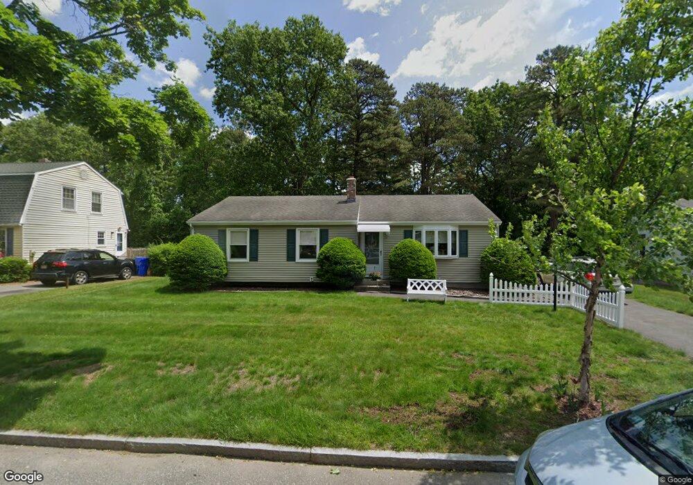
125 Bairdcrest Rd Springfield, MA 01118
East Forest Park NeighborhoodEstimated Value: $317,000 - $332,000
3
Beds
1
Bath
1,104
Sq Ft
$297/Sq Ft
Est. Value
About This Home
This home is located at 125 Bairdcrest Rd, Springfield, MA 01118 and is currently estimated at $327,553, approximately $296 per square foot. 125 Bairdcrest Rd is a home located in Hampden County with nearby schools including Frederick Harris Elementary School, M Marcus Kiley Middle, and Springfield High School of Science and Technology.
Ownership History
Date
Name
Owned For
Owner Type
Purchase Details
Closed on
Sep 4, 1980
Bought by
Morrissey Robert R and Morrissey Susan A
Current Estimated Value
Create a Home Valuation Report for This Property
The Home Valuation Report is an in-depth analysis detailing your home's value as well as a comparison with similar homes in the area
Home Values in the Area
Average Home Value in this Area
Purchase History
| Date | Buyer | Sale Price | Title Company |
|---|---|---|---|
| Morrissey Robert R | $41,500 | -- |
Source: Public Records
Mortgage History
| Date | Status | Borrower | Loan Amount |
|---|---|---|---|
| Open | Morrissey Robert R | $65,000 | |
| Closed | Morrissey Robert R | $20,000 | |
| Closed | Morrissey Robert R | $12,900 |
Source: Public Records
Tax History Compared to Growth
Tax History
| Year | Tax Paid | Tax Assessment Tax Assessment Total Assessment is a certain percentage of the fair market value that is determined by local assessors to be the total taxable value of land and additions on the property. | Land | Improvement |
|---|---|---|---|---|
| 2025 | $4,588 | $292,600 | $52,400 | $240,200 |
| 2024 | $4,269 | $265,800 | $52,400 | $213,400 |
| 2023 | $4,043 | $237,100 | $49,900 | $187,200 |
| 2022 | $3,952 | $210,000 | $49,900 | $160,100 |
| 2021 | $3,946 | $208,800 | $45,400 | $163,400 |
| 2020 | $3,705 | $189,700 | $45,400 | $144,300 |
| 2019 | $3,594 | $182,600 | $45,400 | $137,200 |
| 2018 | $3,458 | $175,700 | $45,400 | $130,300 |
| 2017 | $3,423 | $174,100 | $45,400 | $128,700 |
| 2016 | $3,071 | $156,200 | $45,400 | $110,800 |
| 2015 | $2,978 | $151,400 | $45,400 | $106,000 |
Source: Public Records
Map
Nearby Homes
- 101 Regal St
- 196 Sawmill Rd
- 290 Newton Rd
- 27 Regal St
- 55 Allen St
- 43 Sunridge Dr
- 54 Shady Brook Ln
- 5 Manor Ct Unit 5
- 19 Manor Ct Unit 19
- 767 S Branch Pkwy
- 95 Benz St
- 17 Pebble Mill Rd
- 86 Talmadge Dr
- 125 Manor Ct Unit 125
- 138 Abbott St
- 100 Abbott St
- 99 W Crystal Brook Dr
- 100 Derryfield Ave
- 392 Gifford St
- 77 W Allen Ridge Rd
- 135 Bairdcrest Rd
- 119 Bairdcrest Rd
- 44 Westbank Ct
- 111 Bairdcrest Rd
- 38 Westbank Ct
- 52 Westbank Ct
- 52 Westbanks Ct
- 143 Bairdcrest Rd
- 122 Bairdcrest Rd
- 130 Bairdcrest Rd
- 30 Westbank Ct
- 60 Westbank Ct
- 103 Bairdcrest Rd
- 114 Bairdcrest Rd
- 149 Bairdcrest Rd
- 140 Bairdcrest Rd
- 68 Westbank Ct
- 12 Baird Rd
- 150 Bairdcrest Rd
- 100 Bairdcrest Rd