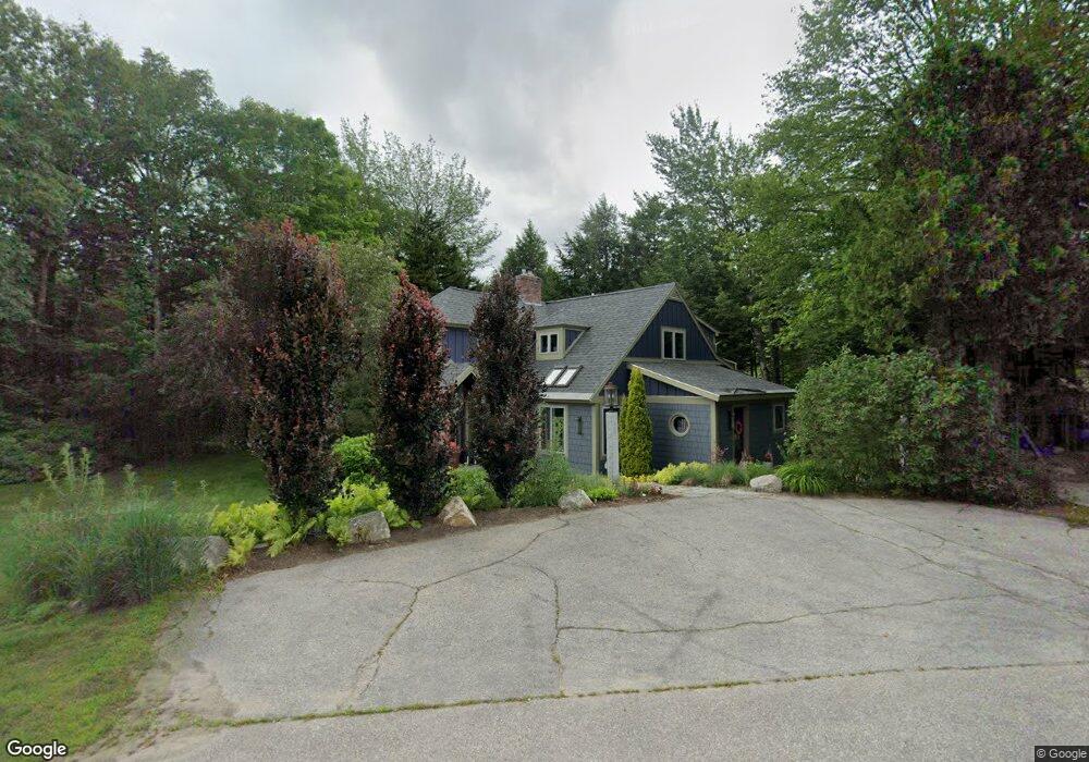
125 Boulder Path Rd Waterville Valley, NH 03215
Estimated Value: $944,000 - $1,726,000
5
Beds
3
Baths
3,829
Sq Ft
$317/Sq Ft
Est. Value
About This Home
This home is located at 125 Boulder Path Rd, Waterville Valley, NH 03215 and is currently estimated at $1,212,729, approximately $316 per square foot. 125 Boulder Path Rd is a home located in Grafton County with nearby schools including Waterville Valley Elementary School.
Ownership History
Date
Name
Owned For
Owner Type
Purchase Details
Closed on
Jun 10, 2015
Sold by
Gerald F Dunfey Ret
Bought by
Pires Loenal M and Pies Jenifer R
Current Estimated Value
Home Financials for this Owner
Home Financials are based on the most recent Mortgage that was taken out on this home.
Original Mortgage
$356,000
Outstanding Balance
$274,744
Interest Rate
3.65%
Mortgage Type
New Conventional
Estimated Equity
$937,985
Create a Home Valuation Report for This Property
The Home Valuation Report is an in-depth analysis detailing your home's value as well as a comparison with similar homes in the area
Home Values in the Area
Average Home Value in this Area
Purchase History
| Date | Buyer | Sale Price | Title Company |
|---|---|---|---|
| Pires Loenal M | $445,000 | -- | |
| Pires Loenal M | $445,000 | -- |
Source: Public Records
Mortgage History
| Date | Status | Borrower | Loan Amount |
|---|---|---|---|
| Open | Pires Loenal M | $356,000 | |
| Closed | Pires Loenal M | $356,000 |
Source: Public Records
Tax History Compared to Growth
Tax History
| Year | Tax Paid | Tax Assessment Tax Assessment Total Assessment is a certain percentage of the fair market value that is determined by local assessors to be the total taxable value of land and additions on the property. | Land | Improvement |
|---|---|---|---|---|
| 2024 | $9,050 | $1,001,100 | $640,800 | $360,300 |
| 2023 | $8,690 | $721,200 | $409,800 | $311,400 |
| 2022 | $7,645 | $721,200 | $409,800 | $311,400 |
| 2021 | $7,954 | $507,900 | $244,800 | $263,100 |
| 2020 | $7,238 | $507,900 | $244,800 | $263,100 |
| 2019 | $7,182 | $507,900 | $244,800 | $263,100 |
| 2018 | $7,182 | $507,900 | $244,800 | $263,100 |
| 2017 | $7,238 | $507,900 | $244,800 | $263,100 |
| 2016 | $9,772 | $698,000 | $387,100 | $310,900 |
| 2015 | $10,051 | $698,000 | $387,100 | $310,900 |
| 2014 | $9,353 | $698,000 | $387,100 | $310,900 |
| 2009 | $8,241 | $705,600 | $387,100 | $318,500 |
Source: Public Records
Map
Nearby Homes
- 111 W Branch Rd Unit 4
- 27 Jasinski Rd
- 15 Moose Way Unit 28
- 10 Avalanche Way Unit 12
- 23 Black Bear Rd Unit 204
- 23 Black Bear Rd Unit 308
- 23 Black Bear Rd Unit 305
- 23 Black Bear Rd Unit 410
- 8 Emerson Way Unit F5
- 11 Bull Hill Way
- 7 Bull Hill Way
- 36 Tyler Spring Way Unit 11
- 46 Packard's Rd Unit 104- Week 28
- 46 Packard's Rd Unit 104- Week 38
- 46 Packard's Rd Unit 307- Week 4
- 46 Packard's Rd Unit 405- Week 28
- 46 Packard's Rd Unit 309- Week 48 October
- 46 Packard's Rd Unit 306- Week 42 October
- 28 Packard Rd Unit 412
- 20 Pine Tree Way
- 125 Boulder Path Rd
- 10 Gaiety Gulch
- 123 Boulder Path Rd
- 124 Boulder Path Rd
- 14 Gaiety Gulch
- 136 Boulder Path Rd
- 138 Boulder Path Rd
- 12 River Rd
- 6 River Rd
- 20 Gaiety Gulch
- 20 Gaiety Way
- 18 River Rd
- 4 River Rd
- 142 Boulder Path Rd
- 109 Boulder Path Rd
- 101 West Branch
- 20 River Rd
- 11 River Rd
- 13 Birch Brook Ln
- 22 Cascade Ridge Rd