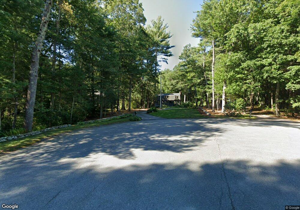
125 Brook Bend Rd Hanover, MA 02339
Estimated Value: $806,768 - $901,000
3
Beds
2
Baths
1,900
Sq Ft
$451/Sq Ft
Est. Value
About This Home
This home is located at 125 Brook Bend Rd, Hanover, MA 02339 and is currently estimated at $856,442, approximately $450 per square foot. 125 Brook Bend Rd is a home located in Plymouth County with nearby schools including Hanover High School, Cadence Academy Preschool - Hanover, and Norwell KinderCare.
Ownership History
Date
Name
Owned For
Owner Type
Purchase Details
Closed on
Apr 6, 2018
Sold by
Fanning Paul T and Fanning Kathleen M
Bought by
Fanning T
Current Estimated Value
Purchase Details
Closed on
Jan 29, 1999
Sold by
Columbus John J and Columbus Dinane M
Bought by
Fanning Kathleen M and Fanning Paul T
Home Financials for this Owner
Home Financials are based on the most recent Mortgage that was taken out on this home.
Original Mortgage
$310,000
Interest Rate
6.67%
Mortgage Type
Purchase Money Mortgage
Create a Home Valuation Report for This Property
The Home Valuation Report is an in-depth analysis detailing your home's value as well as a comparison with similar homes in the area
Home Values in the Area
Average Home Value in this Area
Purchase History
| Date | Buyer | Sale Price | Title Company |
|---|---|---|---|
| Fanning T | -- | -- | |
| Fanning Kathleen M | $259,900 | -- |
Source: Public Records
Mortgage History
| Date | Status | Borrower | Loan Amount |
|---|---|---|---|
| Previous Owner | Fanning Kathleen M | $50,000 | |
| Previous Owner | Fanning Kathleen M | $140,000 | |
| Previous Owner | Fanning Kathleen M | $310,000 |
Source: Public Records
Tax History Compared to Growth
Tax History
| Year | Tax Paid | Tax Assessment Tax Assessment Total Assessment is a certain percentage of the fair market value that is determined by local assessors to be the total taxable value of land and additions on the property. | Land | Improvement |
|---|---|---|---|---|
| 2025 | $8,646 | $700,100 | $280,200 | $419,900 |
| 2024 | $8,476 | $660,100 | $280,200 | $379,900 |
| 2023 | $7,827 | $580,200 | $254,900 | $325,300 |
| 2022 | $8,092 | $530,600 | $254,900 | $275,700 |
| 2021 | $7,812 | $478,400 | $220,200 | $258,200 |
| 2020 | $7,622 | $467,300 | $220,200 | $247,100 |
| 2019 | $7,414 | $451,800 | $220,200 | $231,600 |
| 2018 | $6,996 | $429,700 | $220,200 | $209,500 |
| 2017 | $6,932 | $419,600 | $215,700 | $203,900 |
| 2016 | $6,663 | $395,200 | $196,100 | $199,100 |
| 2015 | $6,382 | $395,200 | $196,100 | $199,100 |
Source: Public Records
Map
Nearby Homes
- 14 Longwood Ln Unit 14
- 20 Meadow Brook Rd
- 198 Pine St
- 16 Broad Oak Way
- 37 Tara Dr
- 28 Old Shipyard Ln
- 28 Riverside Dr
- 11 Silver Brook Ln Unit 11
- 10 Shrine Rd
- 61 Deborah Rd
- 62 Larchmont Ln
- 180 Elm St
- 239 Candlewood Ln
- 133 Brigantine Cir
- 55 Shipyard Ln
- 0 Island View Cir
- 260 River St
- 250 River St
- 107 Washington St
- 2 Curtis Farm Rd