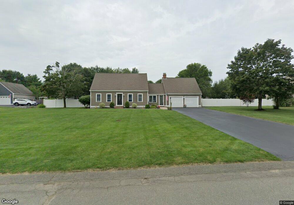
125 Brook Bend Rd Hanson, MA 02341
Estimated Value: $673,764 - $779,000
3
Beds
2
Baths
1,873
Sq Ft
$395/Sq Ft
Est. Value
About This Home
This home is located at 125 Brook Bend Rd, Hanson, MA 02341 and is currently estimated at $739,441, approximately $394 per square foot. 125 Brook Bend Rd is a home located in Plymouth County.
Ownership History
Date
Name
Owned For
Owner Type
Purchase Details
Closed on
Feb 27, 2004
Sold by
Deminico Bridgette D and Deminico John F
Bought by
Conway Thomas W and Conway Alisa C
Current Estimated Value
Purchase Details
Closed on
Nov 30, 1999
Sold by
Burke Warren P and Burke Monica A
Bought by
Deminico Bridgette D and Deminico John F
Purchase Details
Closed on
Jul 8, 1996
Sold by
Morse Monica A and Crehan David C
Bought by
Morse Monica A
Create a Home Valuation Report for This Property
The Home Valuation Report is an in-depth analysis detailing your home's value as well as a comparison with similar homes in the area
Home Values in the Area
Average Home Value in this Area
Purchase History
| Date | Buyer | Sale Price | Title Company |
|---|---|---|---|
| Conway Thomas W | $410,000 | -- | |
| Deminico Bridgette D | $249,900 | -- | |
| Morse Monica A | $7,250 | -- |
Source: Public Records
Mortgage History
| Date | Status | Borrower | Loan Amount |
|---|---|---|---|
| Open | Morse Monica A | $302,000 | |
| Closed | Morse Monica A | $298,000 |
Source: Public Records
Tax History Compared to Growth
Tax History
| Year | Tax Paid | Tax Assessment Tax Assessment Total Assessment is a certain percentage of the fair market value that is determined by local assessors to be the total taxable value of land and additions on the property. | Land | Improvement |
|---|---|---|---|---|
| 2025 | $8,011 | $598,700 | $190,100 | $408,600 |
| 2024 | $7,779 | $581,400 | $184,600 | $396,800 |
| 2023 | $7,412 | $522,700 | $184,600 | $338,100 |
| 2022 | $7,172 | $475,300 | $167,800 | $307,500 |
| 2021 | $5,737 | $426,100 | $161,400 | $264,700 |
| 2020 | $6,340 | $415,200 | $155,900 | $259,300 |
| 2019 | $6,050 | $389,600 | $152,900 | $236,700 |
| 2018 | $5,219 | $377,900 | $147,000 | $230,900 |
| 2017 | $5,801 | $363,000 | $140,000 | $223,000 |
| 2016 | $5,892 | $356,000 | $140,000 | $216,000 |
| 2015 | $5,582 | $350,600 | $140,000 | $210,600 |
Source: Public Records
Map
Nearby Homes
- 842 E Washington St
- 37 Brook St
- 15 Elm Place
- 456 Gorwin Dr
- 418 E Washington St
- Lot 22 Adams Cir
- 1251 Broadway
- 248 E Washington St
- 41 Gail Rd
- 553 Center St
- 57 Liberty St
- Lot 5 Princeton Way
- 134 Crescent St
- 269 Lakeside Rd
- 436 Center St
- 168 Spring St
- 154 Winter St
- 33 Tavern Way
- 114 Graham Hill Dr
- Lot 2 Harvard Rd
- 131 Brook Bend Rd
- 109 Brook Bend Rd
- 66 Winter Terrace
- 112 Brook Bend Rd
- 84 Winter Terrace
- 100 Brook Bend Rd
- 128 Brook Bend Rd
- 87 Brook Bend Rd
- 157 Brook Bend Rd
- 52 Winter Terrace
- 98 Winter Terrace
- 142 Brook Bend Rd
- 84 Brook Bend Rd
- 59 Winter Terrace
- 87 Winter Terrace
- 38 Winter Terrace
- 4 Arrowhead Dr
- 164 Brook Bend Rd
- 168 Brook Bend Rd
- 41 Winter Terrace