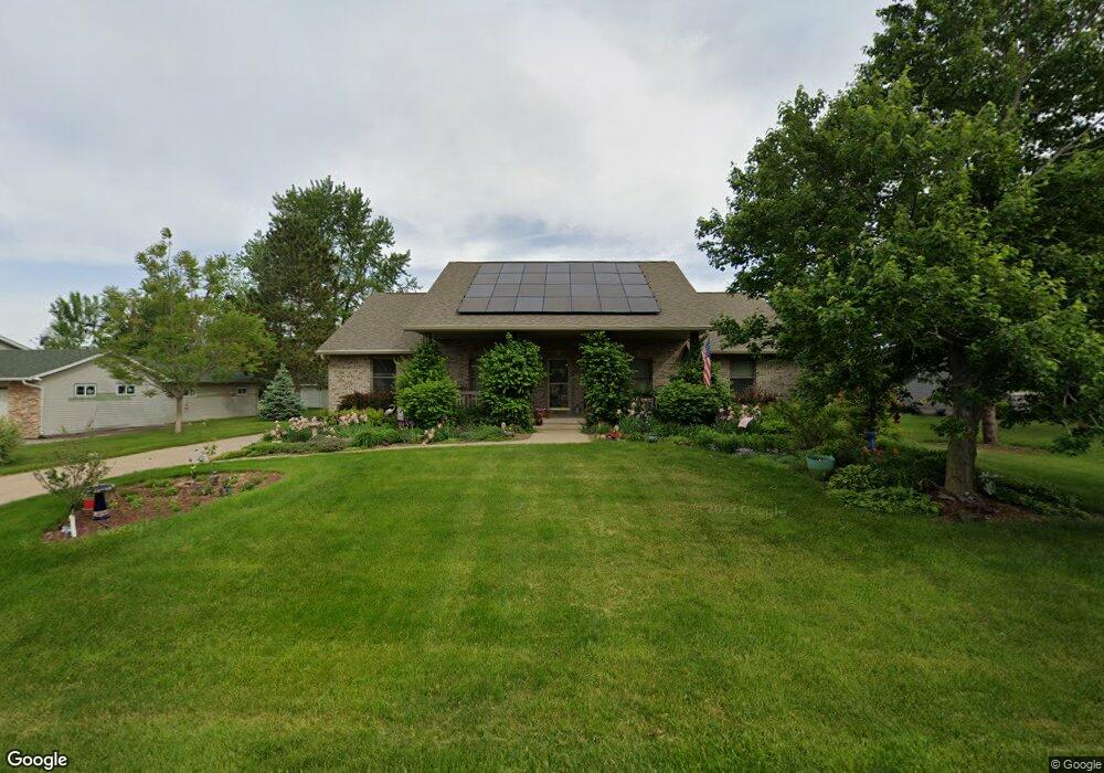
125 Brougham Rd Robins, IA 52328
Estimated Value: $364,000 - $494,000
5
Beds
4
Baths
2,400
Sq Ft
$177/Sq Ft
Est. Value
About This Home
This home is located at 125 Brougham Rd, Robins, IA 52328 and is currently estimated at $425,474, approximately $177 per square foot. 125 Brougham Rd is a home located in Linn County with nearby schools including Echo Hill Elementary School, Oak Ridge School, and Linn-Mar High School.
Ownership History
Date
Name
Owned For
Owner Type
Purchase Details
Closed on
Mar 16, 1999
Sold by
Koski Melvin J and Koski Judith A
Bought by
Cohen Brian D and Cohen Terri L
Current Estimated Value
Home Financials for this Owner
Home Financials are based on the most recent Mortgage that was taken out on this home.
Original Mortgage
$195,600
Outstanding Balance
$47,744
Interest Rate
6.85%
Mortgage Type
Credit Line Revolving
Estimated Equity
$377,730
Create a Home Valuation Report for This Property
The Home Valuation Report is an in-depth analysis detailing your home's value as well as a comparison with similar homes in the area
Home Values in the Area
Average Home Value in this Area
Purchase History
| Date | Buyer | Sale Price | Title Company |
|---|---|---|---|
| Cohen Brian D | $44,500 | -- |
Source: Public Records
Mortgage History
| Date | Status | Borrower | Loan Amount |
|---|---|---|---|
| Open | Cohen Brian D | $195,600 |
Source: Public Records
Tax History
| Year | Tax Paid | Tax Assessment Tax Assessment Total Assessment is a certain percentage of the fair market value that is determined by local assessors to be the total taxable value of land and additions on the property. | Land | Improvement |
|---|---|---|---|---|
| 2025 | $5,952 | $470,200 | $45,200 | $425,000 |
| 2024 | $5,198 | $404,100 | $45,200 | $358,900 |
| 2023 | $5,198 | $404,100 | $45,200 | $358,900 |
| 2022 | $5,394 | $314,600 | $45,200 | $269,400 |
| 2021 | $5,424 | $314,600 | $45,200 | $269,400 |
| 2020 | $5,424 | $295,500 | $45,200 | $250,300 |
| 2019 | $5,498 | $300,200 | $45,200 | $255,000 |
Source: Public Records
Map
Nearby Homes
- 9124 Grand Oaks Dr NE
- 8932 Norway Dr NE
- 8926 Norway Dr NE
- 8908 Norway Dr NE
- 165 Timber Ln
- 0 Maple St
- 804 Palmyra Dr NE
- 70.78 Acres M L Quass Rd
- 8201 Council St NE
- 1110 Capri Dr NE
- 929 Messina Dr NE
- 906 Dorchester Place NE
- 1623 Petrus Dr NE
- 1319 Ashford Ct NE
- 7730 Burr Ridge Dr NE
- Lot 9 Kervin Ct
- Lot 10 Kervin Ct
- 3230 N Center Point Rd Unit Lot 3
- 207 Meadows Field Dr NE
- 219 Meadows Field Dr NE
- 135 Brougham Rd
- 115 Brougham Rd
- 145 Brougham Rd
- 105 Brougham Rd
- 120 Brougham Rd
- 130 Brougham Rd
- 110 Brougham Rd
- 155 Brougham Rd
- 140 Brougham Rd
- 100 Brougham Rd
- 255 Landau St
- 1000 E Main St
- 1040 E Main St
- 275 Landau St
- 1095 E Main St
- 150 Brougham Rd
- 25 Pine Crest Dr
- 995 E Main St
- 125 Coach Cir
- 285 Landau St
Your Personal Tour Guide
Ask me questions while you tour the home.