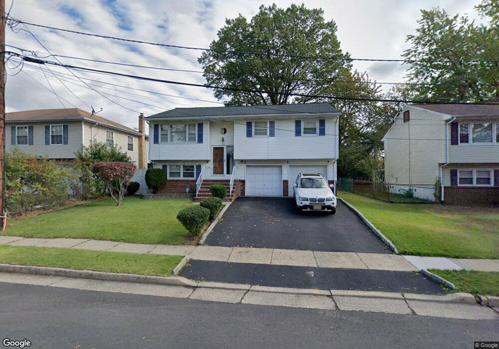
125 Burt Dr Roselle, NJ 07203
Estimated Value: $402,269 - $527,000
Studio
--
Bath
1,576
Sq Ft
$302/Sq Ft
Est. Value
About This Home
This home is located at 125 Burt Dr, Roselle, NJ 07203 and is currently estimated at $476,067, approximately $302 per square foot. 125 Burt Dr is a home located in Union County with nearby schools including Dr Charles C Polk School, Grace Wilday Junior High School, and Leonard V. Moore Middle School.
Ownership History
Date
Name
Owned For
Owner Type
Purchase Details
Closed on
Jun 19, 2008
Sold by
Gutierrez Reinaldo and Gutierrez Mildred
Bought by
Owusu Mensah Joyce L and Tawiah Ishmael Neequaye
Current Estimated Value
Home Financials for this Owner
Home Financials are based on the most recent Mortgage that was taken out on this home.
Original Mortgage
$218,500
Outstanding Balance
$141,068
Interest Rate
6.17%
Mortgage Type
Purchase Money Mortgage
Estimated Equity
$334,999
Purchase Details
Closed on
Oct 21, 1998
Sold by
Macalincag Lilia R
Bought by
Foreman Luther
Home Financials for this Owner
Home Financials are based on the most recent Mortgage that was taken out on this home.
Original Mortgage
$133,000
Interest Rate
6.74%
Create a Home Valuation Report for This Property
The Home Valuation Report is an in-depth analysis detailing your home's value as well as a comparison with similar homes in the area
Home Values in the Area
Average Home Value in this Area
Purchase History
| Date | Buyer | Sale Price | Title Company |
|---|---|---|---|
| Owusu Mensah Joyce L | $230,000 | None Available | |
| Foreman Luther | $140,000 | -- |
Source: Public Records
Mortgage History
| Date | Status | Borrower | Loan Amount |
|---|---|---|---|
| Open | Owusu Mensah Joyce L | $218,500 | |
| Previous Owner | Foreman Luther | $133,000 |
Source: Public Records
Tax History
| Year | Tax Paid | Tax Assessment Tax Assessment Total Assessment is a certain percentage of the fair market value that is determined by local assessors to be the total taxable value of land and additions on the property. | Land | Improvement |
|---|---|---|---|---|
| 2025 | $10,164 | $116,900 | $70,000 | $46,900 |
| 2024 | $9,910 | $116,900 | $70,000 | $46,900 |
| 2023 | $9,910 | $116,900 | $70,000 | $46,900 |
| 2022 | $9,979 | $116,900 | $70,000 | $46,900 |
| 2021 | $9,919 | $116,900 | $70,000 | $46,900 |
| 2020 | $9,887 | $116,900 | $70,000 | $46,900 |
| 2019 | $9,761 | $116,900 | $70,000 | $46,900 |
| 2018 | $9,707 | $116,900 | $70,000 | $46,900 |
| 2017 | $9,656 | $116,900 | $70,000 | $46,900 |
| 2016 | $9,443 | $116,900 | $70,000 | $46,900 |
| 2015 | $9,442 | $116,900 | $70,000 | $46,900 |
| 2014 | $9,179 | $116,900 | $70,000 | $46,900 |
Source: Public Records
Map
Nearby Homes
- 229 Hillcrest Terrace
- 215 Victory St
- 812 Washington Ave
- 142 Bonna Villa Ave
- 574 Sherman Ave
- 909 Seymour Ave
- 620 Jackson Ave
- 2105 Wood Ave
- 724 Walnut St
- 382 Douglas Rd
- 3 Fern St
- 1210 Orchard Terrace
- 811 Jackson Ave
- 113 E Curtis St
- 825 Jackson Ave
- 721 E Curtis St
- 725 N Wood Ave
- 146 E 10th Ave Unit 2
- 291 E 12th Ave
- 132 Thelma Terrace
Your Personal Tour Guide
Ask me questions while you tour the home.