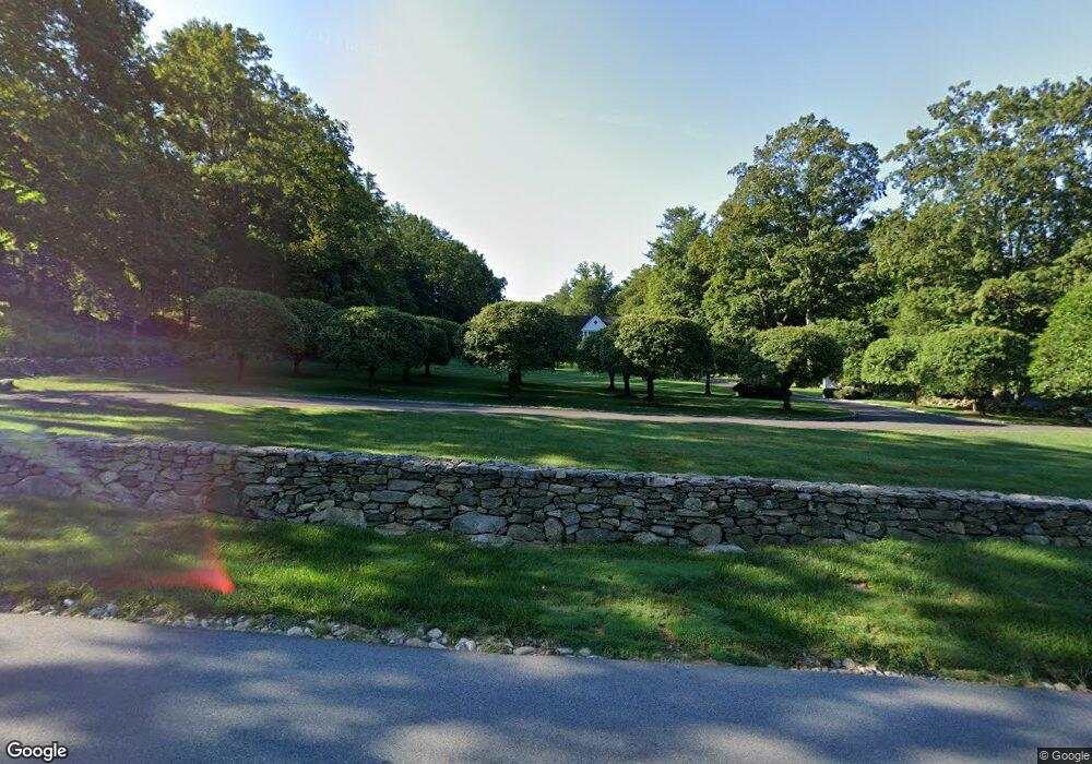
125 Cannon Rd Wilton, CT 06897
Estimated Value: $2,163,000 - $2,297,000
5
Beds
6
Baths
5,161
Sq Ft
$430/Sq Ft
Est. Value
About This Home
This home is located at 125 Cannon Rd, Wilton, CT 06897 and is currently estimated at $2,217,040, approximately $429 per square foot. 125 Cannon Rd is a home located in Fairfield County with nearby schools including Miller-Driscoll School, Cider Mill School, and Middlebrook School.
Ownership History
Date
Name
Owned For
Owner Type
Purchase Details
Closed on
Dec 23, 1993
Sold by
Architectural Design & and Design Architectural Design
Bought by
Ripp Joe and Ripp Virginia
Current Estimated Value
Home Financials for this Owner
Home Financials are based on the most recent Mortgage that was taken out on this home.
Original Mortgage
$750,000
Interest Rate
7%
Mortgage Type
Unknown
Create a Home Valuation Report for This Property
The Home Valuation Report is an in-depth analysis detailing your home's value as well as a comparison with similar homes in the area
Home Values in the Area
Average Home Value in this Area
Purchase History
| Date | Buyer | Sale Price | Title Company |
|---|---|---|---|
| Ripp Joe | $662,363 | -- |
Source: Public Records
Mortgage History
| Date | Status | Borrower | Loan Amount |
|---|---|---|---|
| Closed | Ripp Joe | $750,000 | |
| Closed | Ripp Joe | $750,000 | |
| Previous Owner | Ripp Joe | $887,730 |
Source: Public Records
Tax History
| Year | Tax Paid | Tax Assessment Tax Assessment Total Assessment is a certain percentage of the fair market value that is determined by local assessors to be the total taxable value of land and additions on the property. | Land | Improvement |
|---|---|---|---|---|
| 2025 | $34,070 | $1,395,730 | $329,910 | $1,065,820 |
| 2024 | $33,414 | $1,395,730 | $329,910 | $1,065,820 |
| 2023 | $30,725 | $1,050,070 | $315,420 | $734,650 |
| 2022 | $29,643 | $1,050,070 | $315,420 | $734,650 |
| 2021 | $29,265 | $1,050,070 | $315,420 | $734,650 |
| 2020 | $28,835 | $1,050,070 | $315,420 | $734,650 |
| 2019 | $29,969 | $1,050,070 | $315,420 | $734,650 |
| 2018 | $32,350 | $1,147,580 | $330,680 | $816,900 |
| 2017 | $31,868 | $1,147,580 | $330,680 | $816,900 |
| 2016 | $31,375 | $1,147,580 | $330,680 | $816,900 |
| 2015 | $30,790 | $1,147,580 | $330,680 | $816,900 |
| 2014 | $30,422 | $1,147,580 | $330,680 | $816,900 |
Source: Public Records
Map
Nearby Homes
- 475 Danbury Rd
- 38 Honey Hill Rd
- 4 Trails End Rd
- 14 Langner Ln
- 12 Godfrey Rd W
- 41 Calvin Rd
- 15 Mountain View Dr
- 349 Mountain Rd
- 25 Powder Horn Hill Rd
- 76 Sturges Ridge Rd
- 28 Old Orchard Dr
- 33 Middlebrook Farm Rd
- 96 Georgetown Rd
- 30 Lords Hwy
- 330 Ridgefield Rd
- 00 Old Mill Rd
- 290 Newtown Turnpike
- 85 Glen Side Unit 85
- 15 River Rd Unit STE 210
- 88 Drum Hill Rd
Your Personal Tour Guide
Ask me questions while you tour the home.