125 Duncan Lake Rd Ossipee, NH 03864
Estimated Value: $2,209,146
--
Bed
--
Bath
672
Sq Ft
$3,287/Sq Ft
Est. Value
About This Home
This home is located at 125 Duncan Lake Rd, Ossipee, NH 03864 and is currently estimated at $2,209,146, approximately $3,287 per square foot. 125 Duncan Lake Rd is a home located in Carroll County with nearby schools including Ossipee Central School, Kingswood Regional Middle School, and Kingswood Regional High School.
Ownership History
Date
Name
Owned For
Owner Type
Purchase Details
Closed on
Nov 9, 2020
Sold by
Green Oak Rlty Dev Llc
Bought by
Pine Riv Sand & Gravel Llc
Current Estimated Value
Purchase Details
Closed on
Nov 4, 2010
Sold by
Dow E Milton Est
Bought by
Green Oak Realty Dev
Home Financials for this Owner
Home Financials are based on the most recent Mortgage that was taken out on this home.
Original Mortgage
$808,140
Interest Rate
4.41%
Mortgage Type
Commercial
Create a Home Valuation Report for This Property
The Home Valuation Report is an in-depth analysis detailing your home's value as well as a comparison with similar homes in the area
Home Values in the Area
Average Home Value in this Area
Purchase History
| Date | Buyer | Sale Price | Title Company |
|---|---|---|---|
| Pine Riv Sand & Gravel Llc | $1,400,000 | None Available | |
| Green Oak Realty Dev | $700,000 | -- |
Source: Public Records
Mortgage History
| Date | Status | Borrower | Loan Amount |
|---|---|---|---|
| Previous Owner | Green Oak Realty Dev | $808,140 |
Source: Public Records
Tax History Compared to Growth
Tax History
| Year | Tax Paid | Tax Assessment Tax Assessment Total Assessment is a certain percentage of the fair market value that is determined by local assessors to be the total taxable value of land and additions on the property. | Land | Improvement |
|---|---|---|---|---|
| 2024 | $25,709 | $2,216,282 | $1,796,082 | $420,200 |
| 2023 | $19,786 | $1,908,008 | $1,796,108 | $111,900 |
| 2022 | $4,404 | $239,590 | $186,390 | $53,200 |
| 2021 | $3,664 | $199,883 | $186,583 | $13,300 |
| 2020 | $3,408 | $199,866 | $186,566 | $13,300 |
| 2019 | $3,420 | $199,866 | $186,566 | $13,300 |
| 2018 | $3,894 | $187,223 | $172,923 | $14,300 |
| 2016 | $3,609 | $187,006 | $172,706 | $14,300 |
| 2015 | $3,428 | $187,006 | $172,706 | $14,300 |
| 2014 | $8,630 | $478,900 | $463,600 | $15,300 |
| 2013 | $16,374 | $941,600 | $907,400 | $34,200 |
Source: Public Records
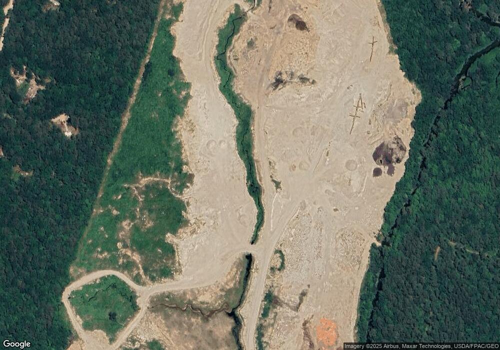
Map
Nearby Homes
- 110 Elm St
- 156 Elm St
- 6 Abbott Ln
- 16 Isaac Buswell Rd
- 4 John Terrace
- 1060 Route 16
- 00B Route 16
- 954 Route 16
- 5 John Terrace
- 375 Pine River Rd
- 45 Effingham Rd
- 113 Jones Rd
- 0 Green Mountain Rd Unit 30
- 20 Hawthorne Rd
- 22 Hawthorne Rd
- 118 Champion Hill Rd
- 6 Wellington Ct
- 13 Wellington Ct
- 11 Wellington Ct
- 7 Hawthorne Rd
- 18 Duncan Lake Rd
- 99 Duncan Lake Rd
- 97 Duncan Lake Rd
- 93 Duncan Lake Rd
- 89 Duncan Lake Rd
- 87 Duncan Lake Rd
- 95 Duncan Lake Rd
- 83 Duncan Lake Rd
- 81 Duncan Lake Rd
- 79 Duncan Lake Rd
- 28 Moose Ridge Rd
- 26 Moose Ridge Rd
- 75 Duncan Lake Rd
- 73 Duncan Lake Rd
- 22 Moose Ridge Rd
- 24 Moose Ridge Rd
- 71 Duncan Lake Rd
- 34 Moose Ridge Rd
- 20 Moose Ridge Rd
- 19 Moose Ridge Rd