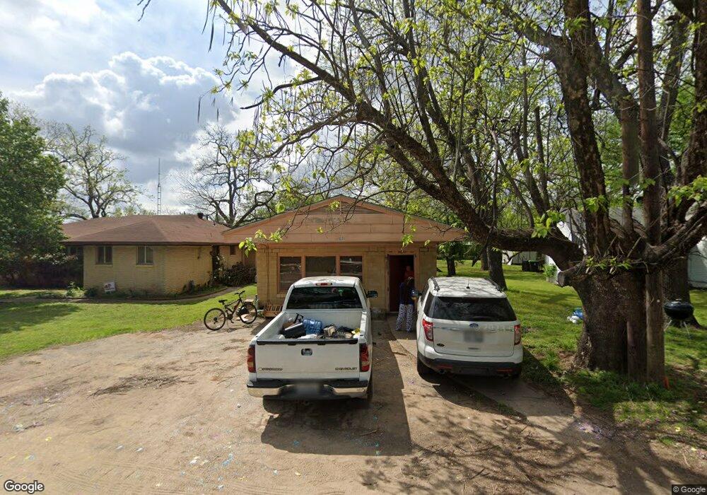
125 E Liberty St Unit 129 Pilot Point, TX 76258
Estimated Value: $336,630 - $490,000
6
Beds
4
Baths
3,276
Sq Ft
$117/Sq Ft
Est. Value
About This Home
This home is located at 125 E Liberty St Unit 129, Pilot Point, TX 76258 and is currently estimated at $383,408, approximately $117 per square foot. 125 E Liberty St Unit 129 is a home located in Denton County with nearby schools including Pilot Point Early Childhood Center, Pilot Point Elementary School, and Pilot Point Middle School.
Ownership History
Date
Name
Owned For
Owner Type
Purchase Details
Closed on
Sep 20, 2005
Sold by
Groff Janet
Bought by
Groff Janet and Klohn Jennifer
Current Estimated Value
Purchase Details
Closed on
Jun 21, 2004
Sold by
Groff Marion A and Groff Betty R
Bought by
Groff Janet Ruth
Purchase Details
Closed on
May 16, 2002
Sold by
Groff Marion A and Groff Betty Ruth
Bought by
Axtell Tommy and Axtell Mary Nell
Home Financials for this Owner
Home Financials are based on the most recent Mortgage that was taken out on this home.
Original Mortgage
$50,000
Interest Rate
6.92%
Create a Home Valuation Report for This Property
The Home Valuation Report is an in-depth analysis detailing your home's value as well as a comparison with similar homes in the area
Home Values in the Area
Average Home Value in this Area
Purchase History
| Date | Buyer | Sale Price | Title Company |
|---|---|---|---|
| Groff Janet | -- | -- | |
| Groff Janet Ruth | -- | -- | |
| Axtell Tommy | -- | -- | |
| Axtell Tommy | -- | -- |
Source: Public Records
Mortgage History
| Date | Status | Borrower | Loan Amount |
|---|---|---|---|
| Closed | Axtell Tommy | $50,000 | |
| Closed | Axtell Tommy | $27,000 |
Source: Public Records
Tax History
| Year | Tax Paid | Tax Assessment Tax Assessment Total Assessment is a certain percentage of the fair market value that is determined by local assessors to be the total taxable value of land and additions on the property. | Land | Improvement |
|---|---|---|---|---|
| 2025 | $7,539 | $375,780 | $94,500 | $281,280 |
| 2024 | $7,539 | $418,785 | $94,500 | $324,285 |
| 2023 | $7,627 | $410,162 | $94,500 | $315,662 |
| 2022 | $7,651 | $372,115 | $77,000 | $295,115 |
| 2021 | $6,874 | $333,134 | $77,000 | $256,134 |
| 2020 | $6,640 | $319,562 | $37,800 | $281,762 |
| 2019 | $6,944 | $324,137 | $37,800 | $286,337 |
| 2018 | $5,839 | $269,124 | $34,300 | $234,824 |
| 2017 | $5,244 | $241,036 | $32,200 | $208,836 |
| 2016 | $4,719 | $216,911 | $24,750 | $192,161 |
| 2015 | -- | $185,372 | $24,750 | $160,622 |
| 2013 | -- | $145,058 | $11,900 | $133,158 |
Source: Public Records
Map
Nearby Homes
- 111 E Liberty St
- 106 W Main St
- 400 S Washington St
- 2431 Poinsettia Dr
- 2437 Poinsettia Dr
- 326 W Liberty St
- 400 E Liberty St
- 304 N Church St
- 408 E Liberty St
- 516 S Church St
- 515 E Liberty St
- 508 S Pedigo St
- 500 Eddleman St Unit 504
- 412 N Dallas St
- 827 Snowdrop Dr
- 834 Snowdrop Dr
- 826 Snowdrop Dr
- 219 E Evans St
- 388 N Montague St
- TBD W Clifton St
- 117 E Liberty St Unit 1
- 110 E Liberty St
- 113 S Jefferson St
- 116 E Liberty St
- 124 E Liberty St
- 212 S Jefferson St
- Lot 2 J C Ln
- 101 S Jefferson St
- Lot1,Blk1 Pilot Point Rd
- TBD Pr 5805
- 5 Ac. Pr 5805
- Lot 4 Doublegate Dr
- TBD Chandler Ct
- 9751 Larch Crest
- 108 E Division St
- 106 E Main St
- 106 E Main St Unit A
- 110 E Main St
- 100 E Division St
- 209 E Liberty St Unit 211
Your Personal Tour Guide
Ask me questions while you tour the home.