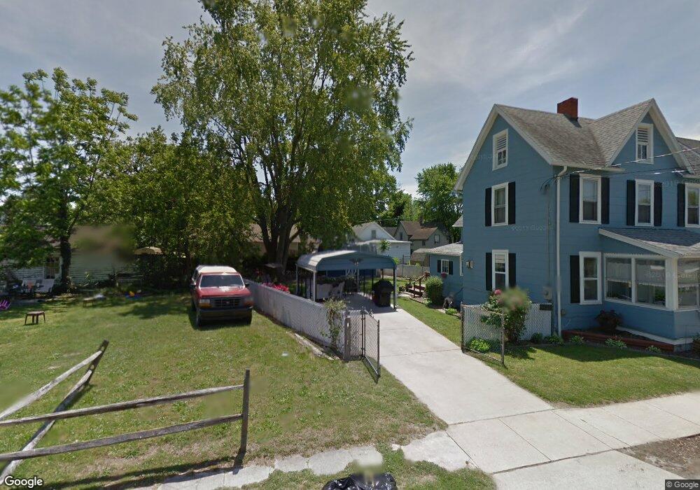
125 E Locust St Seaford, DE 19973
Estimated Value: $164,000 - $230,000
3
Beds
--
Bath
936
Sq Ft
$209/Sq Ft
Est. Value
About This Home
This home is located at 125 E Locust St, Seaford, DE 19973 and is currently estimated at $196,009, approximately $209 per square foot. 125 E Locust St is a home located in Sussex County with nearby schools including Seaford Central Elementary School, West Seaford Elementary School, and Seaford Middle School.
Ownership History
Date
Name
Owned For
Owner Type
Purchase Details
Closed on
Jun 6, 2018
Sold by
Brodie Charles R and Blair-Brodie Marjorie
Bought by
Enock Remarais-Jean Johane and Enock Jean
Current Estimated Value
Home Financials for this Owner
Home Financials are based on the most recent Mortgage that was taken out on this home.
Original Mortgage
$78,551
Outstanding Balance
$67,547
Interest Rate
4.25%
Mortgage Type
FHA
Estimated Equity
$128,462
Create a Home Valuation Report for This Property
The Home Valuation Report is an in-depth analysis detailing your home's value as well as a comparison with similar homes in the area
Home Values in the Area
Average Home Value in this Area
Purchase History
| Date | Buyer | Sale Price | Title Company |
|---|---|---|---|
| Enock Remarais-Jean Johane | $80,000 | -- |
Source: Public Records
Mortgage History
| Date | Status | Borrower | Loan Amount |
|---|---|---|---|
| Open | Enock Remarais-Jean Johane | $78,551 |
Source: Public Records
Tax History
| Year | Tax Paid | Tax Assessment Tax Assessment Total Assessment is a certain percentage of the fair market value that is determined by local assessors to be the total taxable value of land and additions on the property. | Land | Improvement |
|---|---|---|---|---|
| 2025 | $646 | $4,200 | $750 | $3,450 |
| 2024 | $210 | $4,200 | $750 | $3,450 |
| 2023 | $210 | $4,200 | $750 | $3,450 |
| 2022 | $205 | $4,200 | $750 | $3,450 |
| 2021 | $205 | $4,200 | $750 | $3,450 |
| 2020 | $223 | $4,200 | $750 | $3,450 |
| 2019 | $195 | $4,200 | $750 | $3,450 |
| 2018 | $190 | $4,200 | $0 | $0 |
| 2017 | $180 | $4,200 | $0 | $0 |
| 2016 | $174 | $4,200 | $0 | $0 |
| 2015 | $174 | $4,200 | $0 | $0 |
| 2014 | $162 | $4,200 | $0 | $0 |
Source: Public Records
Map
Nearby Homes
- 131 4th St
- 306 4th St
- 209 N Conwell St
- 110 E King St Unit SGT
- 421 N Porter St
- 303 State St
- 205 N Arch St
- 402 E King St
- 31 N Pine Street Extension
- 200 Tulip Place
- 723 Hurley Park Dr
- 838 Rum Bridge Branch Unit 838RBB
- 410 North St
- 323 Pennsylvania Ave
- 0 N Market St Unit DESU2099572
- Lot 1 Middleford Rd
- 749 Hurley Park Dr
- 301 Lilac Ln
- 512 State St
- 321 N Willey St
Your Personal Tour Guide
Ask me questions while you tour the home.