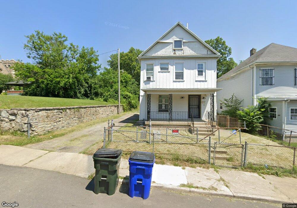
125 Gordon Ave Dayton, OH 45402
MacFarlane NeighborhoodEstimated Value: $91,000 - $125,000
3
Beds
1
Bath
1,364
Sq Ft
$75/Sq Ft
Est. Value
About This Home
This home is located at 125 Gordon Ave, Dayton, OH 45402 and is currently estimated at $102,698, approximately $75 per square foot. 125 Gordon Ave is a home located in Montgomery County with nearby schools including International School at Residence Park, Louise Troy Elementary, and Westwood Elementary.
Ownership History
Date
Name
Owned For
Owner Type
Purchase Details
Closed on
Aug 14, 2020
Sold by
Starks Aaron
Bought by
Hernandez Sandra Maria Servellon
Current Estimated Value
Purchase Details
Closed on
Feb 24, 2020
Sold by
Properties Resolution Group Llc
Bought by
Starks Aaron
Purchase Details
Closed on
Feb 10, 2020
Sold by
Johnson Martha and Estate Of Roosevelt Johnson
Bought by
Property Resolution Group Llc
Create a Home Valuation Report for This Property
The Home Valuation Report is an in-depth analysis detailing your home's value as well as a comparison with similar homes in the area
Home Values in the Area
Average Home Value in this Area
Purchase History
| Date | Buyer | Sale Price | Title Company |
|---|---|---|---|
| Hernandez Sandra Maria Servellon | $22,500 | Buckeye Title | |
| Starks Aaron | $9,000 | Partners Land Title Agency | |
| Property Resolution Group Llc | $5,000 | None Available |
Source: Public Records
Tax History Compared to Growth
Tax History
| Year | Tax Paid | Tax Assessment Tax Assessment Total Assessment is a certain percentage of the fair market value that is determined by local assessors to be the total taxable value of land and additions on the property. | Land | Improvement |
|---|---|---|---|---|
| 2024 | $1,186 | $20,060 | $2,280 | $17,780 |
| 2023 | $1,186 | $20,060 | $2,280 | $17,780 |
| 2022 | $1,078 | $14,050 | $1,590 | $12,460 |
| 2021 | $1,072 | $14,050 | $1,590 | $12,460 |
| 2020 | $1,043 | $14,050 | $1,590 | $12,460 |
| 2019 | $460 | $13,870 | $1,590 | $12,280 |
| 2018 | $461 | $13,870 | $1,590 | $12,280 |
| 2017 | $458 | $13,870 | $1,590 | $12,280 |
| 2016 | $478 | $13,870 | $1,590 | $12,280 |
| 2015 | $455 | $13,870 | $1,590 | $12,280 |
| 2014 | $455 | $13,870 | $1,590 | $12,280 |
| 2012 | -- | $14,710 | $1,950 | $12,760 |
Source: Public Records
Map
Nearby Homes
- 121 Gordon Ave
- 508 S Paul Laurence Dunbar St
- 40 Gordon Ave
- 66 Barnett St Unit 64
- 403 S Euclid Ave
- 401 S Euclid Ave Unit 403
- 235 Mercer Ave
- 723 S Euclid Ave Unit 721
- 830 S Euclid Ave
- 1540 W 2nd St
- 1568 W 2nd St
- 1527 W 1st St
- 132 Mound St
- 130 Mound St
- 1515 Ingomar Ave
- 55 Mound St
- 1009 W Third St
- 51 Mound St
- The Aviator Plan at The Townes at Wright Dunbar
- 997 W Third St
- 117 Gordon Ave
- 418 S Paul Laurence Dunbar St
- 426 S Paul Laurence Dunbar St
- 109 Gordon Ave
- 130 Gordon Ave
- 105 Gordon Ave
- 124 Gordon Ave
- 120 Gordon Ave
- 408 S Paul Laurence Dunbar St
- 500 S Paul Laurence Dunbar St
- 1426 Home Ave
- 116 Gordon Ave
- 1416 Home Ave
- 1428 Home Ave
- 1422 Home Ave
- 101 Gordon Ave
- 504 S Paul Laurence Dunbar St
- 108 Gordon Ave
- 1414 Home Ave
- 59 Gordon Ave