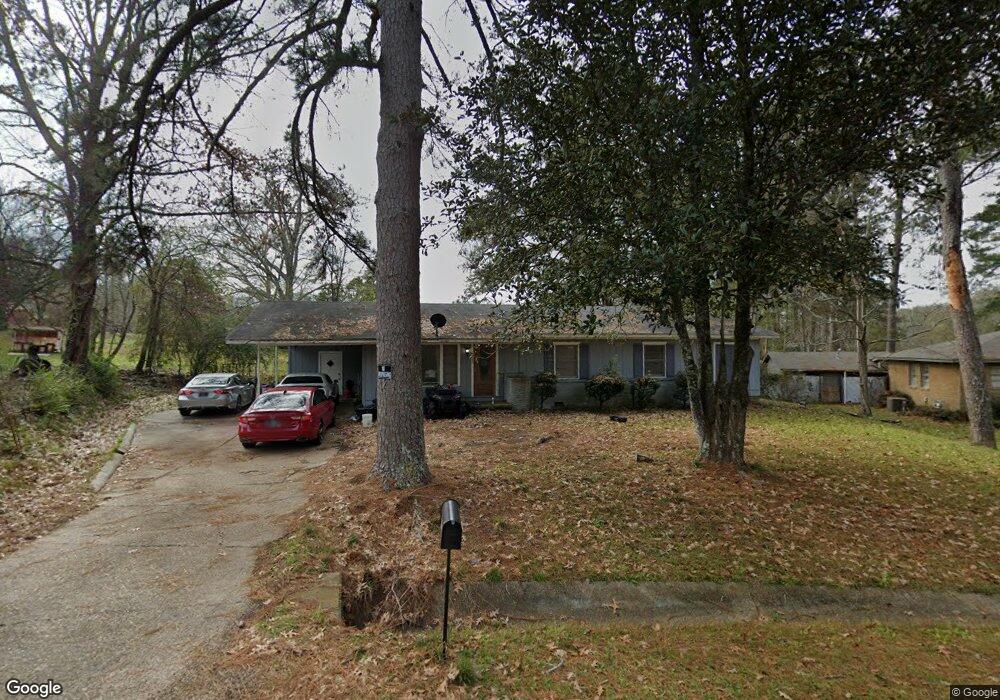
125 Hillside Dr Hazlehurst, MS 39083
Estimated Value: $117,000 - $134,000
Studio
2
Baths
1,924
Sq Ft
$65/Sq Ft
Est. Value
About This Home
This home is located at 125 Hillside Dr, Hazlehurst, MS 39083 and is currently estimated at $125,320, approximately $65 per square foot. 125 Hillside Dr is a home located in Copiah County with nearby schools including Hazlehurst Middle School and Hazlehurst High School.
Ownership History
Date
Name
Owned For
Owner Type
Purchase Details
Closed on
Mar 6, 2018
Sold by
Scott Cynthia M
Bought by
Bank Copiah
Current Estimated Value
Home Financials for this Owner
Home Financials are based on the most recent Mortgage that was taken out on this home.
Original Mortgage
$46,750
Interest Rate
4.32%
Mortgage Type
Purchase Money Mortgage
Purchase Details
Closed on
Jul 10, 2006
Sold by
Jones Thomas
Bought by
Hackett Juanita
Home Financials for this Owner
Home Financials are based on the most recent Mortgage that was taken out on this home.
Original Mortgage
$68,000
Interest Rate
6.54%
Mortgage Type
Purchase Money Mortgage
Create a Home Valuation Report for This Property
The Home Valuation Report is an in-depth analysis detailing your home's value as well as a comparison with similar homes in the area
Home Values in the Area
Average Home Value in this Area
Purchase History
| Date | Buyer | Sale Price | Title Company |
|---|---|---|---|
| Bank Copiah | $46,750 | -- | |
| Hackett Juanita | -- | -- | |
| Hackett Juanita | -- | -- |
Source: Public Records
Mortgage History
| Date | Status | Borrower | Loan Amount |
|---|---|---|---|
| Closed | Bank Copiah | $46,750 | |
| Previous Owner | Hackett Juanita | $68,000 | |
| Previous Owner | Hackett Juanita | $17,000 |
Source: Public Records
Tax History
| Year | Tax Paid | Tax Assessment Tax Assessment Total Assessment is a certain percentage of the fair market value that is determined by local assessors to be the total taxable value of land and additions on the property. | Land | Improvement |
|---|---|---|---|---|
| 2025 | $353 | $9,078 | $0 | $0 |
| 2024 | $4 | $7,612 | $0 | $0 |
| 2023 | $353 | $7,612 | $0 | $0 |
| 2022 | $359 | $7,612 | $0 | $0 |
| 2021 | $355 | $7,612 | $0 | $0 |
| 2020 | $335 | $7,077 | $0 | $0 |
| 2019 | $510 | $7,077 | $0 | $0 |
| 2018 | $742 | $10,616 | $0 | $0 |
| 2017 | $669 | $10,616 | $0 | $0 |
| 2016 | $669 | $10,080 | $0 | $0 |
| 2015 | $324 | $10,080 | $0 | $0 |
| 2014 | $324 | $6,720 | $0 | $0 |
Source: Public Records
Map
Nearby Homes
- 314 Pinehurst Cir
- 613 Georgetown St
- 256 Pinehurst Cir
- 0 Mississippi 28 Unit 4137066
- 744 Georgetown St
- 106 Ainsworth St
- 209 Downing St
- 1004 Bethesda Rd
- 125 Dogwood Dr
- 330 S Extension St
- 134 Dale Dr
- 140 South Dr
- 1015 Herbert Ln
- 1038 W Gallatin St
- 1068 E Gallman Rd
- 21032 Us-51
- 3200 Tower Rd
- 0 Bethesda Rd Unit 11612880
- 0 Bethesda Rd Unit 24909841
- 0 Whitetown Ln
- 107 Primrose Ln
- 127 Hillside Dr
- 333 Asbury Dr
- 329 Asbury Dr
- 312 Pinehurst Cir
- 111 Primrose Ln
- 122 Hillside Dr
- 325 Asbury Dr
- 115 Primrose Ln
- 120 Hillside Dr
- 321 Asbury Dr
- 110 Primrose Ln
- 119 Hillside Dr
- 117 Primrose Ln
- 311 Pinehurst Cir
- 252 Pinehurst Cir
- 330 Asbury Dr
- 114 Primrose Ln
- 307 Pinehurst Cir
- 315 Pinehurst Cir
Your Personal Tour Guide
Ask me questions while you tour the home.