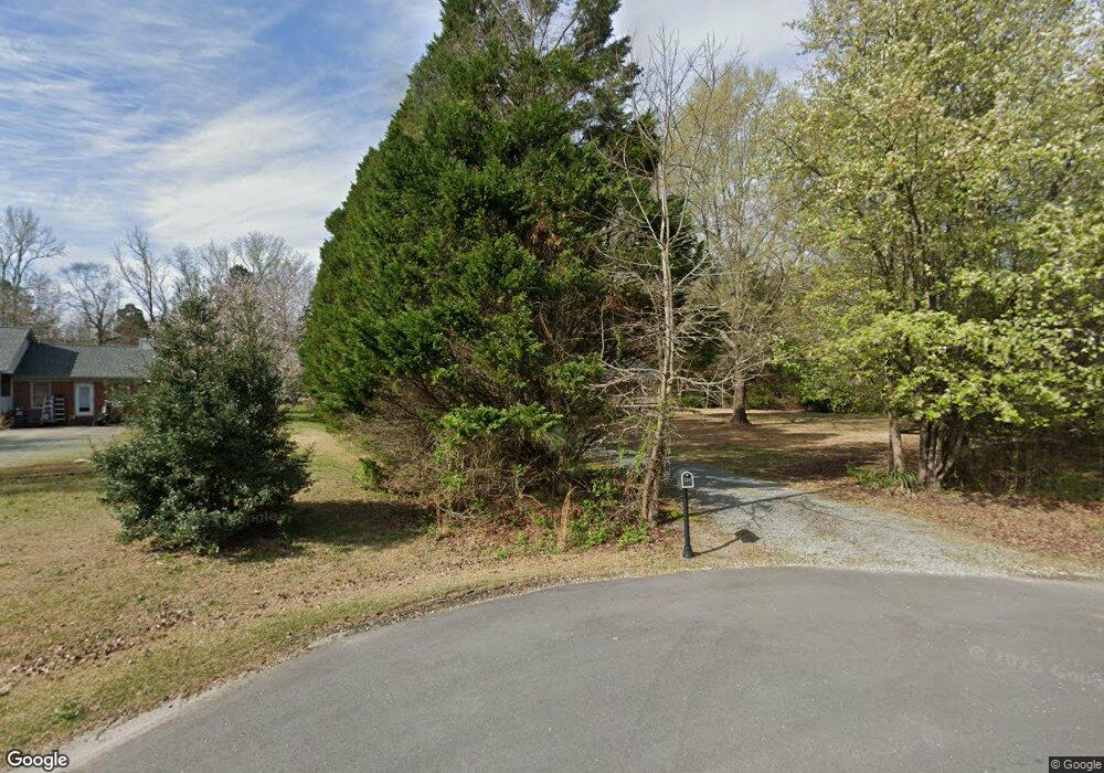
125 Hobson Ln Smithfield, NC 27577
Estimated Value: $293,000 - $343,000
3
Beds
2
Baths
1,508
Sq Ft
$211/Sq Ft
Est. Value
About This Home
This home is located at 125 Hobson Ln, Smithfield, NC 27577 and is currently estimated at $317,501, approximately $210 per square foot. 125 Hobson Ln is a home located in Johnston County with nearby schools including Polenta Elementary School, Swift Creek Middle, and Cleveland High School.
Ownership History
Date
Name
Owned For
Owner Type
Purchase Details
Closed on
Apr 14, 2016
Sold by
Phillips Dawn Marie
Bought by
Boland Kathlyn H
Current Estimated Value
Home Financials for this Owner
Home Financials are based on the most recent Mortgage that was taken out on this home.
Original Mortgage
$135,375
Interest Rate
3.64%
Mortgage Type
New Conventional
Purchase Details
Closed on
Jan 29, 2007
Sold by
Montgomery Craig L
Bought by
Phillips Dawn Marie and Montgomery Dawn P
Create a Home Valuation Report for This Property
The Home Valuation Report is an in-depth analysis detailing your home's value as well as a comparison with similar homes in the area
Home Values in the Area
Average Home Value in this Area
Purchase History
| Date | Buyer | Sale Price | Title Company |
|---|---|---|---|
| Boland Kathlyn H | -- | -- | |
| Boland Kathlyn H | $142,500 | None Available | |
| Phillips Dawn Marie | -- | None Available |
Source: Public Records
Mortgage History
| Date | Status | Borrower | Loan Amount |
|---|---|---|---|
| Previous Owner | Boland Kathlyn H | $135,375 |
Source: Public Records
Tax History Compared to Growth
Tax History
| Year | Tax Paid | Tax Assessment Tax Assessment Total Assessment is a certain percentage of the fair market value that is determined by local assessors to be the total taxable value of land and additions on the property. | Land | Improvement |
|---|---|---|---|---|
| 2025 | $2,074 | $326,580 | $103,850 | $222,730 |
| 2024 | $1,231 | $151,940 | $43,620 | $108,320 |
| 2023 | $1,170 | $151,940 | $43,620 | $108,320 |
| 2022 | $1,200 | $151,940 | $43,620 | $108,320 |
| 2021 | $1,200 | $151,940 | $43,620 | $108,320 |
| 2020 | $1,246 | $151,940 | $43,620 | $108,320 |
| 2019 | $1,246 | $151,940 | $43,620 | $108,320 |
| 2018 | $1,151 | $137,030 | $40,150 | $96,880 |
| 2017 | $1,151 | $137,030 | $40,150 | $96,880 |
| 2016 | $1,151 | $137,030 | $40,150 | $96,880 |
| 2015 | $1,151 | $137,030 | $40,150 | $96,880 |
| 2014 | $1,151 | $137,030 | $40,150 | $96,880 |
Source: Public Records
Map
Nearby Homes
- 215 Harris Rd
- 312 Russ Rd
- 129 Serenity Dr
- 328 Avery Meadows Dr
- 20 Pine Nut Ln
- 227 Blaze Ridge Dr
- 250 Brodie Rose Landing Way
- 205 Shiloh Woods Cir
- 122 Boss Shot Dr
- 189 Gobbler Dr
- 140 Gobbler Dr
- Plan 2723 at Turkey Ridge
- Plan 2539 at Turkey Ridge
- Plan 1910 Modeled at Turkey Ridge
- Plan 1446 at Turkey Ridge
- Plan 2939 at Turkey Ridge
- Plan 2338 at Turkey Ridge
- Plan 2115 at Turkey Ridge
- Plan 1773 at Turkey Ridge
- 433 Steel Bridge Rd
