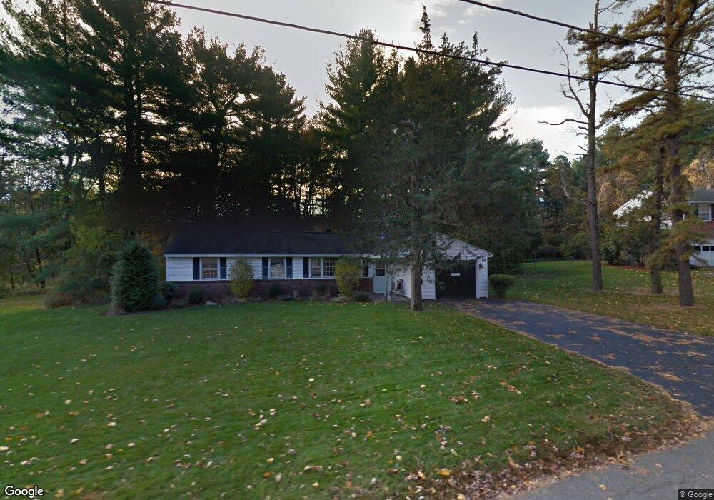
125 Holly Ln Holliston, MA 01746
Estimated Value: $580,000 - $661,000
3
Beds
3
Baths
1,320
Sq Ft
$469/Sq Ft
Est. Value
About This Home
This home is located at 125 Holly Ln, Holliston, MA 01746 and is currently estimated at $618,837, approximately $468 per square foot. 125 Holly Ln is a home located in Middlesex County with nearby schools including Placentino Elementary School, Miller Elementary School, and Robert H. Adams Middle School.
Ownership History
Date
Name
Owned For
Owner Type
Purchase Details
Closed on
Jan 31, 1997
Sold by
Loftus Edward R and Loftus Karen J
Bought by
Perlmutter Leonard M and Perlmutter Kristine R
Current Estimated Value
Home Financials for this Owner
Home Financials are based on the most recent Mortgage that was taken out on this home.
Original Mortgage
$128,300
Outstanding Balance
$14,622
Interest Rate
7.65%
Mortgage Type
Purchase Money Mortgage
Estimated Equity
$604,215
Purchase Details
Closed on
Jun 28, 1991
Sold by
Mckinney Marion A
Bought by
Loftus Edward R and Loftus Karen J
Home Financials for this Owner
Home Financials are based on the most recent Mortgage that was taken out on this home.
Original Mortgage
$115,900
Interest Rate
9.44%
Mortgage Type
Purchase Money Mortgage
Create a Home Valuation Report for This Property
The Home Valuation Report is an in-depth analysis detailing your home's value as well as a comparison with similar homes in the area
Home Values in the Area
Average Home Value in this Area
Purchase History
| Date | Buyer | Sale Price | Title Company |
|---|---|---|---|
| Perlmutter Leonard M | $160,400 | -- | |
| Loftus Edward R | $144,900 | -- |
Source: Public Records
Mortgage History
| Date | Status | Borrower | Loan Amount |
|---|---|---|---|
| Open | Loftus Edward R | $128,300 | |
| Previous Owner | Loftus Edward R | $118,500 | |
| Previous Owner | Loftus Edward R | $115,900 |
Source: Public Records
Tax History
| Year | Tax Paid | Tax Assessment Tax Assessment Total Assessment is a certain percentage of the fair market value that is determined by local assessors to be the total taxable value of land and additions on the property. | Land | Improvement |
|---|---|---|---|---|
| 2025 | $7,411 | $505,900 | $252,100 | $253,800 |
| 2024 | $6,813 | $452,400 | $252,100 | $200,300 |
| 2023 | $6,876 | $446,500 | $252,100 | $194,400 |
| 2022 | $6,724 | $386,900 | $252,100 | $134,800 |
| 2021 | $6,753 | $378,300 | $240,600 | $137,700 |
| 2020 | $6,518 | $345,800 | $218,500 | $127,300 |
| 2019 | $6,365 | $338,000 | $212,100 | $125,900 |
| 2018 | $6,310 | $338,000 | $212,100 | $125,900 |
| 2017 | $6,056 | $327,000 | $216,500 | $110,500 |
| 2016 | $5,569 | $296,400 | $185,900 | $110,500 |
| 2015 | $5,112 | $263,800 | $151,300 | $112,500 |
Source: Public Records
Map
Nearby Homes
- 3 Jameson Dr Unit 3
- 20 Jameson Dr Unit 20
- 0 Hill St
- 13 Hattie Ln Unit 13
- 11 Fairway Ln
- 6 Glen Ellen Blvd Unit 6
- 66 Lakeshore Dr
- 17 Fairway Ln
- 19 Sycamore Way
- 40 Timber Crest Dr
- 261 Rolling Meadow Dr
- 50 Walnut St
- 79 Lovering St Unit B
- 4 Brookview Rd
- 106 Holliston St
- 33 Gorwin Dr
- 119 Middlesex St
- 154 Union St
- 7 Lone Oak Cir
- 50 Main St