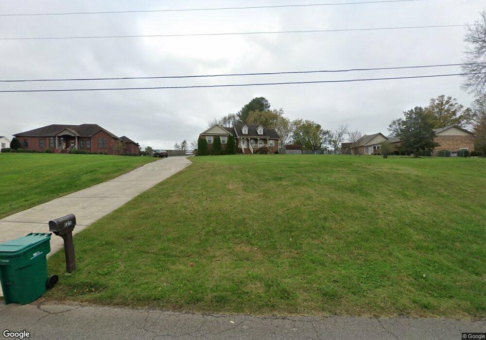
125 Jills Landing Winchester, TN 37398
Estimated Value: $324,881 - $428,000
--
Bed
1
Bath
1,675
Sq Ft
$236/Sq Ft
Est. Value
About This Home
This home is located at 125 Jills Landing, Winchester, TN 37398 and is currently estimated at $395,970, approximately $236 per square foot. 125 Jills Landing is a home with nearby schools including North Middle School, Franklin County High School, and Winchester Christian Academy.
Ownership History
Date
Name
Owned For
Owner Type
Purchase Details
Closed on
Nov 13, 2023
Sold by
Mielneczek Pearl A
Bought by
Behrent Ronald G
Current Estimated Value
Purchase Details
Closed on
Apr 24, 2023
Sold by
Behrent Ronald G
Bought by
Behrent Ronald G and Mielneczek Pearl A
Purchase Details
Closed on
Feb 14, 2007
Sold by
D'Amato Michael
Bought by
Behrent Ronald G
Purchase Details
Closed on
Dec 8, 2005
Sold by
Holland James E
Bought by
D'Amato Michael
Purchase Details
Closed on
Jan 23, 1987
Purchase Details
Closed on
Jun 11, 1986
Create a Home Valuation Report for This Property
The Home Valuation Report is an in-depth analysis detailing your home's value as well as a comparison with similar homes in the area
Home Values in the Area
Average Home Value in this Area
Purchase History
| Date | Buyer | Sale Price | Title Company |
|---|---|---|---|
| Behrent Ronald G | -- | None Listed On Document | |
| Behrent Ronald G | -- | None Listed On Document | |
| Behrent Ronald G | -- | None Listed On Document | |
| Behrent Ronald G | $32,500 | -- | |
| D'Amato Michael | $27,500 | -- | |
| -- | $6,400 | -- | |
| -- | -- | -- |
Source: Public Records
Tax History Compared to Growth
Tax History
| Year | Tax Paid | Tax Assessment Tax Assessment Total Assessment is a certain percentage of the fair market value that is determined by local assessors to be the total taxable value of land and additions on the property. | Land | Improvement |
|---|---|---|---|---|
| 2024 | $1,775 | $78,050 | $18,750 | $59,300 |
| 2023 | $1,775 | $78,050 | $18,750 | $59,300 |
| 2022 | $1,775 | $78,050 | $18,750 | $59,300 |
| 2021 | $1,110 | $78,050 | $18,750 | $59,300 |
| 2020 | $1,532 | $43,325 | $4,600 | $38,725 |
| 2019 | $1,532 | $43,325 | $4,600 | $38,725 |
| 2018 | $1,443 | $43,325 | $4,600 | $38,725 |
| 2017 | $1,443 | $43,325 | $4,600 | $38,725 |
| 2016 | $1,356 | $40,725 | $4,600 | $36,125 |
| 2015 | $1,331 | $40,725 | $4,600 | $36,125 |
| 2014 | $1,331 | $40,717 | $0 | $0 |
Source: Public Records
Map
Nearby Homes
- 0 Spring Hill Dr
- 60 Sharp Cir
- 136 Bel Aire Dr
- 0 Sharp Springs Rd Unit RTC2980057
- 67 Summerset Dr
- 120 Dogwood Ln
- 53 Summerset Dr
- 1108 N Jefferson St
- 66 Edgefield Ct
- 201 Lookout Dr
- 249 Lookout Dr
- 67 Edgefield Ct
- 103 Lisa Cir
- 111 Barefoot Way
- 124 Barefoot Way
- 348 Lookout Dr
- 209 Franklin Park
- 0 Lookout Dr Unit RTC3015909
- 0 Lookout Dr Unit RTC3015905
- 0 Lookout Dr Unit RTC3000162
- 95 Jills Landing
- 201 Jills Landing
- 221 Jills Landing
- 155 Jills Landing
- 22 Jills Landing
- 21 Jills Landing
- 69 Jills Landing
- 100 Jills Landing
- 126 Jills Landing
- 198 Jills Landing
- 238 Jills Landing
- 162 Jills Landing
- 60 Jills Landing
- 168 Jills Landing
- 21LT Jills Landing
- 172 Jills Landing
- 22LT Jills Landing
- 843 Sharp Springs Rd
- 190 Brandi Cir
- 200 Brandi Cir