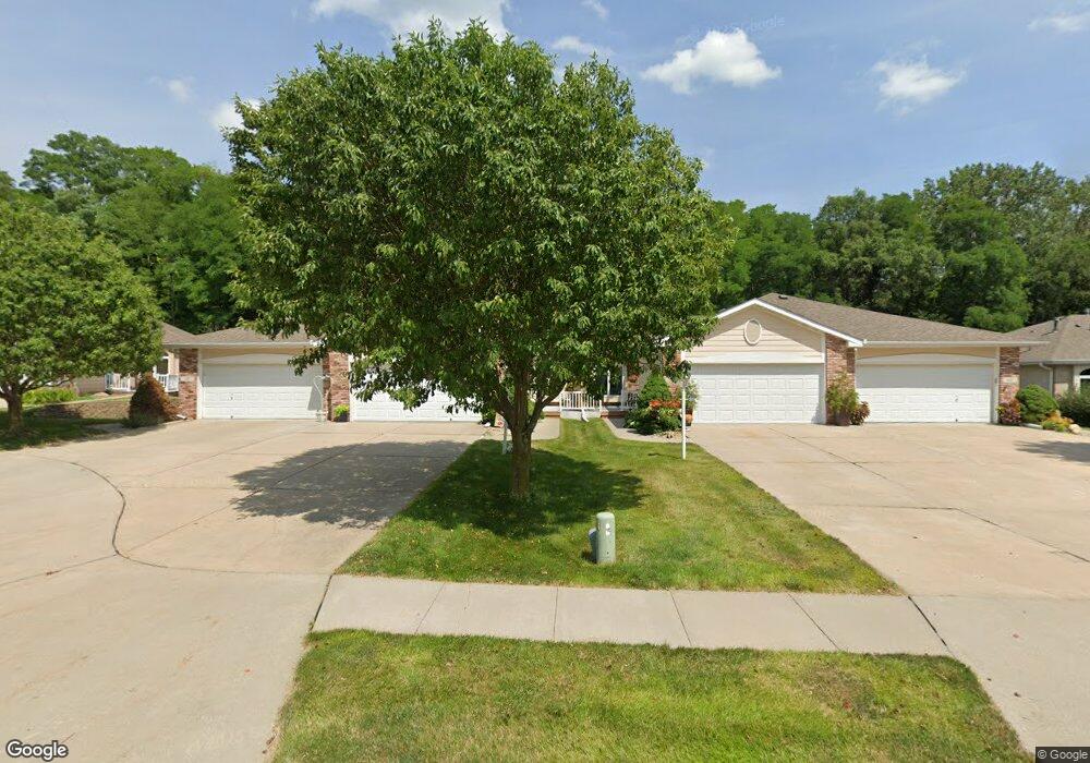
125 Mckenzie Cir Council Bluffs, IA 51503
McKenzie Avenue NeighborhoodEstimated Value: $312,000 - $352,000
2
Beds
3
Baths
2,214
Sq Ft
$146/Sq Ft
Est. Value
About This Home
This home is located at 125 Mckenzie Cir, Council Bluffs, IA 51503 and is currently estimated at $323,130, approximately $145 per square foot. 125 Mckenzie Cir is a home located in Pottawattamie County with nearby schools including College View Elementary School, Gerald W. Kirn Middle School, and Abraham Lincoln High School.
Ownership History
Date
Name
Owned For
Owner Type
Purchase Details
Closed on
Jun 9, 2023
Sold by
Yeoman Carol A
Bought by
Yeoman Kathy and Hohneke Stacey
Current Estimated Value
Purchase Details
Closed on
May 24, 2013
Sold by
Drake Lou Ann
Bought by
Yeoman Carol A
Home Financials for this Owner
Home Financials are based on the most recent Mortgage that was taken out on this home.
Original Mortgage
$150,000
Interest Rate
3.38%
Mortgage Type
Future Advance Clause Open End Mortgage
Purchase Details
Closed on
Jul 31, 2008
Sold by
Clements Leo R and Clements Verlee M
Bought by
Drake Lou Ann
Create a Home Valuation Report for This Property
The Home Valuation Report is an in-depth analysis detailing your home's value as well as a comparison with similar homes in the area
Home Values in the Area
Average Home Value in this Area
Purchase History
| Date | Buyer | Sale Price | Title Company |
|---|---|---|---|
| Yeoman Kathy | -- | None Listed On Document | |
| Yeoman Carol A | $20,000 | None Available | |
| Drake Lou Ann | $195,000 | Title Services |
Source: Public Records
Mortgage History
| Date | Status | Borrower | Loan Amount |
|---|---|---|---|
| Previous Owner | Yeoman Carol A | $150,000 |
Source: Public Records
Tax History Compared to Growth
Tax History
| Year | Tax Paid | Tax Assessment Tax Assessment Total Assessment is a certain percentage of the fair market value that is determined by local assessors to be the total taxable value of land and additions on the property. | Land | Improvement |
|---|---|---|---|---|
| 2025 | $5,248 | $295,100 | $27,900 | $267,200 |
| 2024 | $5,248 | $270,800 | $24,300 | $246,500 |
| 2023 | $5,398 | $270,800 | $24,300 | $246,500 |
| 2022 | $5,270 | $233,600 | $22,500 | $211,100 |
| 2021 | $8,079 | $233,600 | $22,500 | $211,100 |
| 2020 | $4,806 | $233,600 | $22,500 | $211,100 |
| 2019 | $4,982 | $202,300 | $17,140 | $185,160 |
| 2018 | $4,884 | $202,300 | $17,140 | $185,160 |
| 2017 | $4,942 | $202,300 | $17,140 | $185,160 |
| 2015 | $4,554 | $191,328 | $17,140 | $174,188 |
| 2014 | $4,778 | $191,328 | $17,140 | $174,188 |
Source: Public Records
Map
Nearby Homes
- 944 Mckenzie Ave
- 1011 Simms Ave
- 638 Simms Ave
- 627 Spencer Ave
- 500 Spencer Ave
- 440 Simms Ave
- 407 Spencer Ave
- 401 Spencer Ave
- 415 Midland Dr
- 1.12 AC Railroad Ave & Hwy 6
- 162 N Linden Ave
- 155 S Linden Ave
- 242 Elmwood Dr
- 212 Highland Dr
- 116 Spencer Ave
- 2231 N Broadway
- 118 Euclid Ave
- 222 Locust Lodge Ave
- 1553 N Broadway
- 18267 Northline Dr
- 123 Mckenzie Cir
- 127 Mckenzie Cir
- 121 Mckenzie Cir
- 129 Mckenzie Cir
- 119 Mckenzie Cir
- 119 Mckenzie Cir
- 117 Mckenzie Cir
- 117 Mckenzie Cir
- 131 Mckenzie Cir
- 115 Mckenzie Cir
- 133 Mckenzie Cir
- 135 Mckenzie Cir
- 113 Mckenzie Cir
- 130 Mckenzie Cir
- 120 Mckenzie Cir
- 118 Mckenzie Cir
- 116 Mckenzie Cir
- 122 Mckenzie Cir
- 114 Mckenzie Cir
- 111 Mckenzie Cir