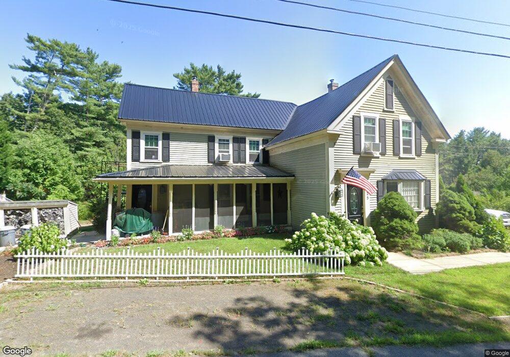
125 Mill Ln York, ME 03909
York NeighborhoodEstimated Value: $522,980 - $661,000
2
Beds
2
Baths
1,792
Sq Ft
$322/Sq Ft
Est. Value
About This Home
This home is located at 125 Mill Ln, York, ME 03909 and is currently estimated at $577,495, approximately $322 per square foot. 125 Mill Ln is a home located in York County with nearby schools including Village Elementary School, Coastal Ridge Elementary School, and York Middle School.
Ownership History
Date
Name
Owned For
Owner Type
Purchase Details
Closed on
May 10, 2010
Sold by
Peard William J
Bought by
Peard Maureen E and Peard Willilam J
Current Estimated Value
Purchase Details
Closed on
Apr 14, 2010
Sold by
Peard Maureen E
Bought by
Peard William J
Create a Home Valuation Report for This Property
The Home Valuation Report is an in-depth analysis detailing your home's value as well as a comparison with similar homes in the area
Home Values in the Area
Average Home Value in this Area
Purchase History
| Date | Buyer | Sale Price | Title Company |
|---|---|---|---|
| Peard Maureen E | -- | -- | |
| Peard William J | -- | -- |
Source: Public Records
Mortgage History
| Date | Status | Borrower | Loan Amount |
|---|---|---|---|
| Previous Owner | Peard William J | $25,000 | |
| Previous Owner | Peard William J | $199,200 |
Source: Public Records
Tax History Compared to Growth
Tax History
| Year | Tax Paid | Tax Assessment Tax Assessment Total Assessment is a certain percentage of the fair market value that is determined by local assessors to be the total taxable value of land and additions on the property. | Land | Improvement |
|---|---|---|---|---|
| 2024 | $3,492 | $415,700 | $116,000 | $299,700 |
| 2023 | $3,513 | $415,700 | $116,000 | $299,700 |
| 2022 | $3,133 | $366,400 | $91,000 | $275,400 |
| 2021 | $3,397 | $341,400 | $109,200 | $232,200 |
| 2020 | $3,051 | $299,900 | $109,200 | $190,700 |
| 2019 | $3,344 | $299,900 | $109,200 | $190,700 |
| 2018 | $1,498 | $286,200 | $95,500 | $190,700 |
| 2017 | $2,915 | $266,200 | $88,700 | $177,500 |
| 2016 | $2,968 | $266,200 | $88,700 | $177,500 |
| 2015 | $2,928 | $266,200 | $88,700 | $177,500 |
| 2014 | $2,848 | $266,200 | $88,700 | $177,500 |
| 2013 | $2,752 | $263,900 | $86,400 | $177,500 |
Source: Public Records
Map
Nearby Homes
- 4 Bhoireann Ln
- 3 Bhoireann Ln
- 0 Lindsay Ln
- 68 Brixham Rd
- Lot 1 Brixham (Stonecrop Farm Lot 1) Rd
- Lot 4 Stonecrop Farm Ln
- 3 Shaws Farm Ln Unit 1
- 76 Punkintown Rd
- 29 Carriage Hill Ln
- 373 Brixham Rd
- 12 Malcolm Rd
- 2 Lils Alley
- 52 Hooper Shores Rd
- 4 Fall Mill Rd
- 22 High Knoll Dr
- 287 Goodwin Rd
- 0 Goodwin Rd Unit 1626810
- 13 Beaver Dam Rd
- 51 Woodland Hills
- 24 Farmgate Rd
- 121 Mill Ln
- 130 Mill Ln
- 130 Mill Ln
- 122 Mill Ln
- 111 Mill Ln
- 111 Mill Ln Unit LOTS 2 AND 3
- 111 Mill Ln
- 111 Mill Ln Unit Lot 2
- 131 Mill Ln
- 109 Mill Ln
- 110 Mill Ln
- LOTS 2 & 3 Mill Ln
- 91 Linscott Rd
- LOT 3 Mill Ln
- 140 Lot 1 Mill Ln
- 140 Lot 2 Mill Ln
- 140 Mill Ln Unit 2
- 140 Mill Ln Unit 1
- 140 Mill Ln
- 7 Linscott Rd N