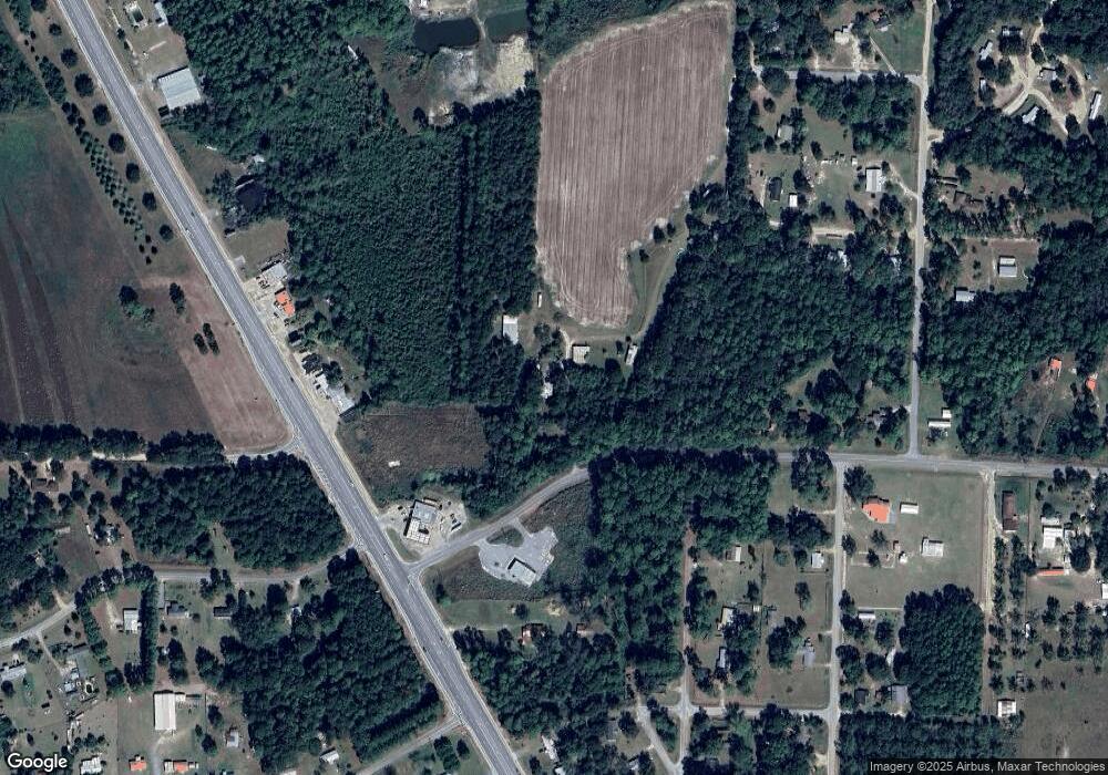
125 Moser Ln Moultrie, GA 31788
Estimated Value: $105,000 - $180,548
--
Bed
2
Baths
2,114
Sq Ft
$63/Sq Ft
Est. Value
About This Home
This home is located at 125 Moser Ln, Moultrie, GA 31788 and is currently estimated at $133,387, approximately $63 per square foot. 125 Moser Ln is a home located in Colquitt County with nearby schools including Cox Elementary School, Willie J. Williams Middle School, and C.A. Gray Junior High School.
Ownership History
Date
Name
Owned For
Owner Type
Purchase Details
Closed on
Jun 29, 2023
Sold by
Norris Bishop Enterprise Llc
Bought by
Moore Dustin
Current Estimated Value
Home Financials for this Owner
Home Financials are based on the most recent Mortgage that was taken out on this home.
Original Mortgage
$44,524
Outstanding Balance
$38,880
Interest Rate
6.69%
Mortgage Type
New Conventional
Estimated Equity
$94,507
Purchase Details
Closed on
Jun 19, 2015
Sold by
Hill David
Bought by
Potter Byrd Kimberly
Create a Home Valuation Report for This Property
The Home Valuation Report is an in-depth analysis detailing your home's value as well as a comparison with similar homes in the area
Home Values in the Area
Average Home Value in this Area
Purchase History
| Date | Buyer | Sale Price | Title Company |
|---|---|---|---|
| Moore Dustin | -- | -- | |
| Potter Byrd Kimberly | $44,000 | -- |
Source: Public Records
Mortgage History
| Date | Status | Borrower | Loan Amount |
|---|---|---|---|
| Open | Moore Dustin | $44,524 |
Source: Public Records
Tax History Compared to Growth
Tax History
| Year | Tax Paid | Tax Assessment Tax Assessment Total Assessment is a certain percentage of the fair market value that is determined by local assessors to be the total taxable value of land and additions on the property. | Land | Improvement |
|---|---|---|---|---|
| 2024 | $1,010 | $44,703 | $3,711 | $40,992 |
| 2023 | $991 | $41,601 | $3,711 | $37,890 |
| 2022 | $890 | $37,378 | $3,298 | $34,080 |
| 2021 | $794 | $32,715 | $3,298 | $29,417 |
| 2020 | $757 | $30,643 | $3,298 | $27,345 |
| 2019 | $804 | $29,261 | $3,298 | $25,963 |
| 2018 | $748 | $29,261 | $3,298 | $25,963 |
| 2017 | $915 | $31,056 | $5,093 | $25,963 |
| 2016 | $927 | $33,615 | $5,093 | $28,522 |
| 2015 | $939 | $35,719 | $5,093 | $30,626 |
Source: Public Records
Map
Nearby Homes
- 1113 Georgia 133
- 292 Robin Ln
- 157 Quail Ridge
- 270 Old Timey Trail
- 0 Sardis Church Rd
- 410 Indian Trail
- 132 Tallokas Trail
- 0 Old Timey Trail
- 424 U S Highway 319
- 1312 Overlook Dr
- 125 Inner Cir
- 1716 5th Ave SE
- 124 Flint Dr
- 31 31st Ave SE
- 1701 10th St SE
- 1406 3rd Ave SE
- 1021 11th Ave SE
- 40 Sloans Village Way SE
- 2332 Georgia 37
- 0 26th Ave SE
- 129 Sardis Church Rd
- 143 Stiner Rd
- 196 Sardis Church Rd
- 1257 Ga Highway 133 S
- 241 Ewer Rd
- 223 Sardis Church Rd
- 116 Thompson Rd
- 146 Stephenson Ln
- 131 Stiner Rd
- 123 Stiner Rd
- 109 Deer Run
- 126 Thompson Rd
- 122 Stiner Rd
- 247 Sardis Church Rd
- 235 Ewer Rd
- 139 Ewer Rd
- 155 Ewer Rd
- 1299 Ga Highway 133 S
- 158 Thompson Rd
- 278 Beaty Rd
