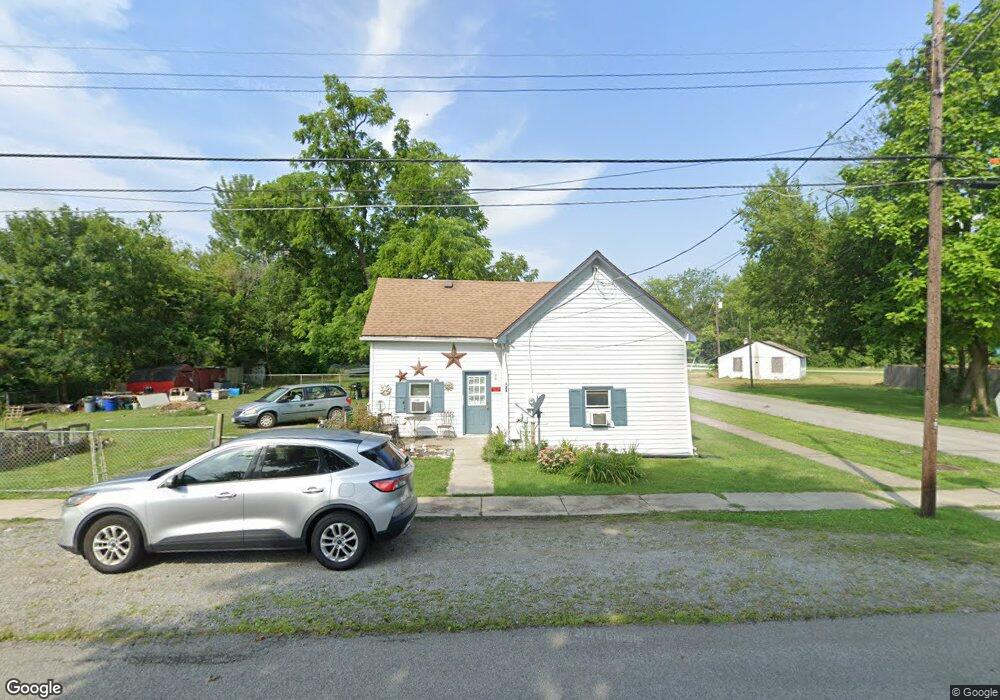
125 N High St Midland, OH 45148
Estimated Value: $79,000 - $190,000
3
Beds
1
Bath
1,048
Sq Ft
$109/Sq Ft
Est. Value
About This Home
This home is located at 125 N High St, Midland, OH 45148 and is currently estimated at $114,418, approximately $109 per square foot. 125 N High St is a home located in Clinton County with nearby schools including Putman Elementary School, Blanchester Middle School, and Blanchester Intermediate School.
Ownership History
Date
Name
Owned For
Owner Type
Purchase Details
Closed on
Dec 17, 2004
Sold by
Federal National Mortgage Association
Bought by
Vaughn James R
Current Estimated Value
Purchase Details
Closed on
May 17, 2004
Sold by
Smith Tom
Bought by
Federal National Mortgage Association
Purchase Details
Closed on
May 5, 2004
Sold by
Smith Tom and Liberty Lending Services Inc
Bought by
Federal National Mortgage Association
Purchase Details
Closed on
Oct 30, 1996
Bought by
Collins Herbert D
Create a Home Valuation Report for This Property
The Home Valuation Report is an in-depth analysis detailing your home's value as well as a comparison with similar homes in the area
Home Values in the Area
Average Home Value in this Area
Purchase History
| Date | Buyer | Sale Price | Title Company |
|---|---|---|---|
| Vaughn James R | $20,000 | -- | |
| Federal National Mortgage Association | -- | -- | |
| Federal National Mortgage Association | $30,000 | -- | |
| Collins Herbert D | $25,000 | -- |
Source: Public Records
Tax History Compared to Growth
Tax History
| Year | Tax Paid | Tax Assessment Tax Assessment Total Assessment is a certain percentage of the fair market value that is determined by local assessors to be the total taxable value of land and additions on the property. | Land | Improvement |
|---|---|---|---|---|
| 2024 | $696 | $18,900 | $2,100 | $16,800 |
| 2023 | $696 | $18,900 | $2,100 | $16,800 |
| 2022 | $441 | $10,700 | $1,330 | $9,370 |
| 2021 | $463 | $10,700 | $1,330 | $9,370 |
| 2020 | $462 | $10,700 | $1,330 | $9,370 |
| 2019 | $449 | $9,850 | $1,330 | $8,520 |
| 2018 | $451 | $9,850 | $1,330 | $8,520 |
| 2017 | $441 | $9,850 | $1,330 | $8,520 |
| 2016 | $443 | $9,990 | $1,380 | $8,610 |
| 2015 | $443 | $9,990 | $1,380 | $8,610 |
| 2013 | $456 | $9,990 | $1,380 | $8,610 |
Source: Public Records
Map
Nearby Homes
- 187 Mitchell Ave
- 147 Broadway St S
- 1192 Frazier Rd
- 1339 Hales Branch Rd
- 1295 Hales Branch Rd
- 13593 U S 68
- 945 Lazenby Rd
- 1 Dudley Rd
- 2211 Reeder Rd
- 14456 U S 68
- 1896 Reeder Rd
- 1623 Reeder Rd
- 1211 Pratt Rd
- 963 Pratt Rd
- C Cherry St
- 3991 Westboro Rd
- 510 Cherry St
- 508 Cherry St
- D Cherry St
- 506 Cherry St