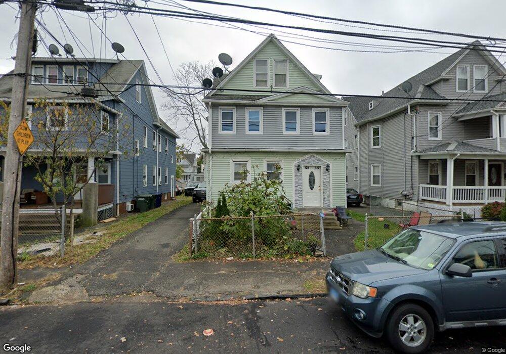
125 Parrott Ave Unit 2 Bridgeport, CT 06606
Brooklawn-Saint Vincent NeighborhoodEstimated Value: $239,025 - $756,000
2
Beds
1
Bath
947
Sq Ft
$484/Sq Ft
Est. Value
About This Home
This home is located at 125 Parrott Ave Unit 2, Bridgeport, CT 06606 and is currently estimated at $458,256, approximately $483 per square foot. 125 Parrott Ave Unit 2 is a home located in Fairfield County with nearby schools including Read School, Central High School, and Catholic Academy of Bridgeport-St. Raphael Academy.
Ownership History
Date
Name
Owned For
Owner Type
Purchase Details
Closed on
Apr 3, 2012
Sold by
Haye Mary
Bought by
Perez-Romero Virginio
Current Estimated Value
Purchase Details
Closed on
Nov 24, 2004
Sold by
Grant Courtney
Bought by
Haye Mary
Home Financials for this Owner
Home Financials are based on the most recent Mortgage that was taken out on this home.
Original Mortgage
$228,000
Interest Rate
7.37%
Mortgage Type
Purchase Money Mortgage
Purchase Details
Closed on
Jul 23, 2002
Sold by
Grp Ag Reo 2000-1 Llc
Bought by
Grant Courtney A
Create a Home Valuation Report for This Property
The Home Valuation Report is an in-depth analysis detailing your home's value as well as a comparison with similar homes in the area
Home Values in the Area
Average Home Value in this Area
Purchase History
| Date | Buyer | Sale Price | Title Company |
|---|---|---|---|
| Perez-Romero Virginio | $120,000 | -- | |
| Perez-Romero Virginio | $120,000 | -- | |
| Haye Mary | $285,000 | -- | |
| Haye Mary | $285,000 | -- | |
| Grant Courtney A | $120,000 | -- | |
| Grant Courtney A | $120,000 | -- |
Source: Public Records
Mortgage History
| Date | Status | Borrower | Loan Amount |
|---|---|---|---|
| Previous Owner | Grant Courtney A | $287,000 | |
| Previous Owner | Grant Courtney A | $228,000 |
Source: Public Records
Tax History Compared to Growth
Tax History
| Year | Tax Paid | Tax Assessment Tax Assessment Total Assessment is a certain percentage of the fair market value that is determined by local assessors to be the total taxable value of land and additions on the property. | Land | Improvement |
|---|---|---|---|---|
| 2025 | $8,577 | $197,410 | $63,810 | $133,600 |
| 2024 | $8,577 | $197,410 | $63,810 | $133,600 |
| 2023 | $8,577 | $197,410 | $63,810 | $133,600 |
| 2022 | $8,292 | $190,850 | $63,810 | $127,040 |
| 2021 | $8,292 | $190,850 | $63,810 | $127,040 |
| 2020 | $7,790 | $144,290 | $38,680 | $105,610 |
| 2019 | $7,790 | $144,290 | $38,680 | $105,610 |
| 2018 | $7,845 | $144,290 | $38,680 | $105,610 |
| 2017 | $7,963 | $146,460 | $38,680 | $107,780 |
| 2016 | $7,963 | $146,460 | $38,680 | $107,780 |
| 2015 | $7,642 | $181,100 | $39,000 | $142,100 |
| 2014 | $7,642 | $181,100 | $39,000 | $142,100 |
Source: Public Records
Map
Nearby Homes
- 2395 Main St Unit 2397
- 76 Porter St
- 330 French St
- 90 Tom Thumb St
- 724 Capitol Ave Unit 726
- 78 Fairmount Ave
- 390 Charles St Unit 106
- 152 River St
- 178 Island Brook Ave
- 119 Madison Terrace
- 936 Lindley St
- 31 Taft Ave
- 508 Hawley Ave
- 25 Manhattan Ave Unit 27
- 957 William St Unit A
- 106 Manhattan Ave Unit 108
- 604 William St
- 123 Harlem Ave
- 926 Hart St
- 916 Hart St
- 125 Parrott Ave
- 119 - 121 Parrott Ave
- 119 Parrott Ave
- 133 Parrott Ave
- 109 Parrott Ave
- 143 Parrott Ave
- 132 Whitney Ave
- 103 Parrott Ave
- 120 Whitney Ave
- 150 Whitney Ave
- 150 Whitney Ave Unit 3
- 150 Whitney Ave Unit 1
- 92 Whitney Ave
- 140 Whitney Ave
- 140 Whitney Ave Unit 142
- 93 Parrott Ave Unit 95
- 138 Parrott Ave
- 144 Parrott Ave
- 114 Whitney Ave