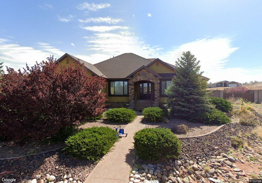
125 S Cedar Cir Snowflake, AZ 85937
Estimated Value: $621,314 - $717,000
--
Bed
--
Bath
2,587
Sq Ft
$258/Sq Ft
Est. Value
About This Home
This home is located at 125 S Cedar Cir, Snowflake, AZ 85937 and is currently estimated at $666,829, approximately $257 per square foot. 125 S Cedar Cir is a home located in Navajo County with nearby schools including Highland Primary School, Snowflake Intermediate School, and Snowflake Junior High School.
Ownership History
Date
Name
Owned For
Owner Type
Purchase Details
Closed on
Sep 23, 2019
Sold by
Kitchen Dallon and Kitchen Tania
Bought by
Fair Ryan
Current Estimated Value
Home Financials for this Owner
Home Financials are based on the most recent Mortgage that was taken out on this home.
Original Mortgage
$318,223
Outstanding Balance
$279,308
Interest Rate
3.7%
Mortgage Type
FHA
Estimated Equity
$387,521
Purchase Details
Closed on
Apr 3, 2017
Sold by
Willias Jason and Willias Kimberly
Bought by
Kitchen Dallon and Kitchen Tania
Home Financials for this Owner
Home Financials are based on the most recent Mortgage that was taken out on this home.
Original Mortgage
$304,000
Interest Rate
4.1%
Mortgage Type
New Conventional
Purchase Details
Closed on
Jul 1, 2005
Sold by
K & Ltd Inc
Bought by
Willis Jason and Willis Kimberley
Create a Home Valuation Report for This Property
The Home Valuation Report is an in-depth analysis detailing your home's value as well as a comparison with similar homes in the area
Home Values in the Area
Average Home Value in this Area
Purchase History
| Date | Buyer | Sale Price | Title Company |
|---|---|---|---|
| Fair Ryan | $347,500 | Lawyers Title Of Arizona Inc | |
| Kitchen Dallon | $320,000 | Lawyers Title | |
| Willis Jason | $48,000 | Transnation Title |
Source: Public Records
Mortgage History
| Date | Status | Borrower | Loan Amount |
|---|---|---|---|
| Open | Fair Ryan | $318,223 | |
| Previous Owner | Kitchen Dallon | $304,000 |
Source: Public Records
Tax History Compared to Growth
Tax History
| Year | Tax Paid | Tax Assessment Tax Assessment Total Assessment is a certain percentage of the fair market value that is determined by local assessors to be the total taxable value of land and additions on the property. | Land | Improvement |
|---|---|---|---|---|
| 2026 | $1,766 | -- | -- | -- |
| 2025 | $1,715 | $59,150 | $3,549 | $55,601 |
| 2024 | $1,831 | $59,027 | $3,489 | $55,538 |
| 2023 | $1,715 | $49,057 | $3,162 | $45,895 |
| 2022 | $1,831 | $0 | $0 | $0 |
| 2021 | $1,990 | $0 | $0 | $0 |
| 2020 | $2,002 | $0 | $0 | $0 |
| 2019 | $1,961 | $0 | $0 | $0 |
| 2018 | $1,899 | $0 | $0 | $0 |
| 2017 | $1,853 | $0 | $0 | $0 |
| 2016 | $1,520 | $0 | $0 | $0 |
| 2015 | $1,331 | $16,771 | $3,000 | $13,771 |
Source: Public Records
Map
Nearby Homes
- 2115 W Cedar Crest Dr
- 0 W Cedar Crest Dr
- 261 S Cedar Dr
- TBD #130 Lyon Gate Dr
- TBD #138 Lyon Gate Dr
- 17 S Country Club Dr
- 2512 N View Rd
- 411 Hillcrest Dr
- 305 W Vista Dr
- 1717 Sand Trap Ln
- 2642 W Foothill Cir Unit 13
- 2642 Foothill Cir
- Lot 27 S Temple Cir
- 362 S Pioneer Trail
- 395 S Frontier Pkwy
- 1676 W Quarter Horse Dr
- 212 S Country Club Dr
- 2272 W Temple View Rd
- 2174 W Antelope
- 2267 W Heritage Dr
- 84 S Hillcrest Dr
- 130 S Cedar Cir
- 62 S Hillcrest Dr
- 148 S Cedar Cir
- 106 S Cedar Cir
- 999 W Cedar Crest
- Lot 104 Hillcrest Dr
- 156 S Hillcrest Dr
- 999 W Cedar Crest Dr
- 109 S Hillcrest Dr
- 149 S Cedar Dr
- 121 S Cedar Dr
- 33 N Hillcrest Dr
- 85 S Hillcrest Dr
- 63 S Hillcrest Dr
- 33 S Hillcrest Dr
- 57 S Hillcrest Dr
- 109 N Hillcrest Dr
- 61 Hillcrest Dr
- 175 S Cedar Dr