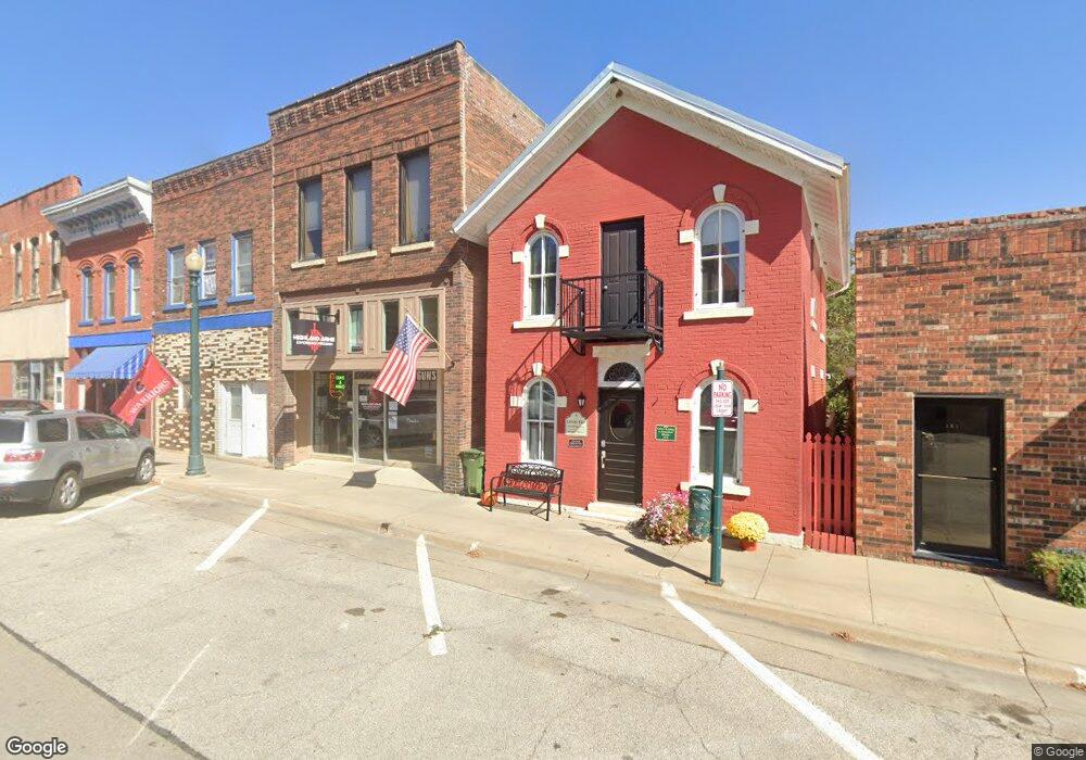
125 S Main St Elkader, IA 52043
Estimated Value: $139,904
--
Bed
--
Bath
2,400
Sq Ft
$58/Sq Ft
Est. Value
About This Home
This home is located at 125 S Main St, Elkader, IA 52043 and is currently estimated at $139,904, approximately $58 per square foot. 125 S Main St is a home located in Clayton County with nearby schools including Central Elementary School and Central Middle School/High School.
Ownership History
Date
Name
Owned For
Owner Type
Purchase Details
Closed on
Dec 1, 2021
Sold by
Mcshane Michael J and Mcshane Kathleen M
Bought by
Hamilton Garett
Current Estimated Value
Purchase Details
Closed on
Nov 30, 2020
Sold by
Hulteng Casey L and Hulteng Naomi
Bought by
Mcshane Michael J and Mcshane Kathleen M
Create a Home Valuation Report for This Property
The Home Valuation Report is an in-depth analysis detailing your home's value as well as a comparison with similar homes in the area
Home Values in the Area
Average Home Value in this Area
Purchase History
| Date | Buyer | Sale Price | Title Company |
|---|---|---|---|
| Hamilton Garett | $112,000 | None Available | |
| Mcshane Michael J | $80,000 | None Available |
Source: Public Records
Tax History Compared to Growth
Tax History
| Year | Tax Paid | Tax Assessment Tax Assessment Total Assessment is a certain percentage of the fair market value that is determined by local assessors to be the total taxable value of land and additions on the property. | Land | Improvement |
|---|---|---|---|---|
| 2025 | $2,602 | $119,613 | $7,115 | $112,498 |
| 2024 | $2,368 | $104,154 | $6,468 | $97,686 |
| 2023 | $2,484 | $104,154 | $6,468 | $97,686 |
| 2022 | $1,972 | $95,163 | $5,880 | $89,283 |
| 2021 | $2,236 | $78,847 | $5,880 | $72,967 |
| 2020 | $2,236 | $67,331 | $6,993 | $60,338 |
| 2019 | $2,164 | $67,331 | $6,993 | $60,338 |
| 2018 | $2,164 | $64,607 | $6,607 | $58,000 |
| 2017 | $1,604 | $46,717 | $6,607 | $40,110 |
| 2015 | $1,010 | $44,073 | $6,233 | $37,840 |
| 2014 | $952 | $44,073 | $6,233 | $37,840 |
Source: Public Records
Map
Nearby Homes
- 117 S Main St
- 209 2nd St SW
- 301 N 1st St
- 302 N 3rd St
- 0 E Bridge St
- 702 N Main St
- 707 N Main St
- 710 Woodland Dr NW
- 26642 Iowa 13
- 247 Franzen Ridge Rd
- 249 Franzen Ridge Rd
- 27766 Highway 13
- 0 13 Hwy Unit NBR20255145
- 27455 Harbor Rd
- 14149 Iowa 56
- 0 Grandview Rd
- TBD Country Rd
- 305 S Russell St
- TBD Birch Rd
- 100 Volga St