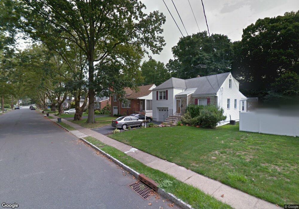
125 S Maple Ave Springfield, NJ 07081
Estimated Value: $555,000 - $620,000
Studio
--
Bath
1,608
Sq Ft
$371/Sq Ft
Est. Value
About This Home
This home is located at 125 S Maple Ave, Springfield, NJ 07081 and is currently estimated at $596,372, approximately $370 per square foot. 125 S Maple Ave is a home located in Union County with nearby schools including Jonathan Dayton High School and St James The Apostle School.
Ownership History
Date
Name
Owned For
Owner Type
Purchase Details
Closed on
Sep 21, 2009
Sold by
Zagorski Phyllis
Bought by
Forte Vincent L and Forte Faith M
Current Estimated Value
Home Financials for this Owner
Home Financials are based on the most recent Mortgage that was taken out on this home.
Original Mortgage
$305,367
Outstanding Balance
$200,923
Interest Rate
5.31%
Mortgage Type
FHA
Estimated Equity
$395,449
Create a Home Valuation Report for This Property
The Home Valuation Report is an in-depth analysis detailing your home's value as well as a comparison with similar homes in the area
Home Values in the Area
Average Home Value in this Area
Purchase History
| Date | Buyer | Sale Price | Title Company |
|---|---|---|---|
| Forte Vincent L | $311,000 | Commonwealth Land Title Insu |
Source: Public Records
Mortgage History
| Date | Status | Borrower | Loan Amount |
|---|---|---|---|
| Open | Forte Vincent L | $305,367 |
Source: Public Records
Tax History
| Year | Tax Paid | Tax Assessment Tax Assessment Total Assessment is a certain percentage of the fair market value that is determined by local assessors to be the total taxable value of land and additions on the property. | Land | Improvement |
|---|---|---|---|---|
| 2025 | $11,269 | $474,500 | $190,800 | $283,700 |
| 2024 | $11,084 | $474,500 | $190,800 | $283,700 |
| 2023 | $11,084 | $474,500 | $190,800 | $283,700 |
| 2022 | $10,292 | $474,500 | $190,800 | $283,700 |
| 2021 | $9,976 | $134,000 | $55,300 | $78,700 |
| 2020 | $9,821 | $134,000 | $55,300 | $78,700 |
| 2019 | $9,688 | $134,000 | $55,300 | $78,700 |
| 2018 | $9,322 | $131,300 | $55,300 | $76,000 |
| 2017 | $9,066 | $131,300 | $55,300 | $76,000 |
| 2016 | $8,890 | $131,300 | $55,300 | $76,000 |
| 2015 | $8,787 | $131,300 | $55,300 | $76,000 |
| 2014 | $8,621 | $131,300 | $55,300 | $76,000 |
Source: Public Records
Map
Nearby Homes
- 105 Battle Hill Ave
- 67 Battle Hill Ave
- 182 Meisel Ave
- 20 Maple Ave
- 148 Locust Dr
- 1 Perry Place
- 38 Warner Ave
- 823 Pinewood Rd
- 750 Andover Rd
- 2785 Larchmont Rd
- 1042 Battle Hill Terrace
- 960 Moessner Ave
- 2705 Andrea Rd
- 968 Moessner Ave
- 24 Brook St
- 2636 Frederick Terrace
- 298 Main St
- 294 Mountain Ave
- 19A Ocean St Unit A
- 2853 Allen Ave
- 121 S Maple Ave
- 129 S Maple Ave
- 119 S Maple Ave
- 135 S Maple Ave
- 115 S Maple Ave
- 22 Joanne Way
- 137 S Maple Ave
- 113 S Maple Ave
- 18 Joanne Way
- 26 Joanne Way
- 124 S Maple Ave
- 14 Joanne Way
- 109 S Maple Ave
- 116 S Maple Ave
- 128 S Maple Ave
- 30 Joanne Way
- 112 S Maple Ave
- 141 S Maple Ave
- 132 S Maple Ave
- 107 S Maple Ave
Your Personal Tour Guide
Ask me questions while you tour the home.