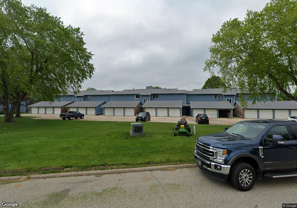
125 Southbrooke Dr Unit 1 Waterloo, IA 50702
Estimated Value: $124,000 - $333,000
2
Beds
1
Bath
1,239
Sq Ft
$144/Sq Ft
Est. Value
About This Home
This home is located at 125 Southbrooke Dr Unit 1, Waterloo, IA 50702 and is currently estimated at $178,969, approximately $144 per square foot. 125 Southbrooke Dr Unit 1 is a home located in Black Hawk County with nearby schools including Lou Henry Elementary School, Hoover Middle School, and West High School.
Ownership History
Date
Name
Owned For
Owner Type
Purchase Details
Closed on
Dec 12, 2023
Sold by
Big Hand Pepper Llc
Bought by
Oconnor Matthew
Current Estimated Value
Purchase Details
Closed on
Jun 29, 2022
Sold by
Oconnor Marilyn E
Bought by
Oconnor Marilyn E
Purchase Details
Closed on
Jun 21, 2022
Sold by
Johnson Jennifer A
Bought by
Holmes Latonya
Purchase Details
Closed on
Jun 27, 2013
Sold by
Mcclure J Dean and Marken Mark Lee
Bought by
Connor Marilyn C O
Create a Home Valuation Report for This Property
The Home Valuation Report is an in-depth analysis detailing your home's value as well as a comparison with similar homes in the area
Home Values in the Area
Average Home Value in this Area
Purchase History
| Date | Buyer | Sale Price | Title Company |
|---|---|---|---|
| Oconnor Matthew | $336,500 | Title Services | |
| Oconnor Marilyn E | -- | None Listed On Document | |
| Holmes Latonya | $120,000 | Title Services Corporation | |
| Connor Marilyn C O | $77,000 | Title Services Corporation |
Source: Public Records
Tax History Compared to Growth
Tax History
| Year | Tax Paid | Tax Assessment Tax Assessment Total Assessment is a certain percentage of the fair market value that is determined by local assessors to be the total taxable value of land and additions on the property. | Land | Improvement |
|---|---|---|---|---|
| 2024 | $1,716 | $111,490 | $5,720 | $105,770 |
| 2023 | $1,546 | $111,490 | $5,720 | $105,770 |
| 2022 | $1,502 | $82,650 | $4,900 | $77,750 |
| 2021 | $1,428 | $82,650 | $4,900 | $77,750 |
| 2020 | $1,398 | $74,890 | $4,900 | $69,990 |
| 2019 | $1,398 | $74,890 | $4,900 | $69,990 |
| 2018 | $1,478 | $78,340 | $4,900 | $73,440 |
| 2017 | $1,528 | $78,340 | $4,900 | $73,440 |
| 2016 | $1,504 | $78,340 | $4,900 | $73,440 |
| 2015 | $1,504 | $78,340 | $4,900 | $73,440 |
| 2014 | $1,454 | $74,890 | $4,900 | $69,990 |
Source: Public Records
Map
Nearby Homes
- 135 E San Marnan Dr Unit 6
- Lot 6 Mirage Ridge
- Lot 4 Mirage Ridge
- 2705 Crestline Ave
- 57 E Tower Park Dr
- 3738 Pheasant Ln
- 2618 Edgemont Ave
- 635 Alpine Dr
- 918 Colby Rd
- 830 Colby Rd
- 706 Wildwood Rd
- 1020 Nancy Rd
- Lot 7 San Marnan Dr
- Lot 2 San Marnan Dr
- 218 W Park Ln Unit 3
- 610 Burbank Ave
- 3058 San Salvador Dr
- 2.30 acres San Marnan Dr
- 3057 San Salvador Dr
- +/- 12.23 Acres Tower Park Dr
- 127 Southbrooke Dr Unit 6
- 127 Southbrooke Dr Unit 5
- 127 Southbrooke Dr Unit 4
- 127 Southbrooke Dr Unit 3
- 127 Southbrooke Dr Unit 2
- 127 Southbrooke Dr Unit 1
- 125 Southbrooke Dr Unit 6
- 125 Southbrooke Dr Unit 5
- 125 Southbrooke Dr Unit 4
- 125 Southbrooke Dr Unit 3
- 123 Southbrooke Dr Unit 6
- 123 Southbrooke Dr Unit 5
- 123 Southbrooke Dr Unit 4
- 123 Southbrooke Dr Unit 3
- 123 Southbrooke Dr Unit 2
- 123 Southbrooke Dr Unit 1
- 220 Southbrooke Dr
- 227 Southbrooke Dr Unit 6
- 227 Southbrooke Dr Unit 1
- 227 Southbrooke Dr Unit 3