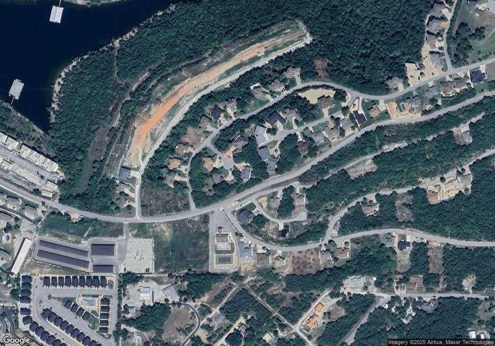
125 Split Rock Cir Hollister, MO 65672
Estimated Value: $381,000 - $934,000
--
Bed
--
Bath
1,976
Sq Ft
$322/Sq Ft
Est. Value
About This Home
This home is located at 125 Split Rock Cir, Hollister, MO 65672 and is currently estimated at $636,631, approximately $322 per square foot. 125 Split Rock Cir is a home located in Taney County with nearby schools including Hollister Elementary School, Hollister Middle School, and Hollister High School.
Ownership History
Date
Name
Owned For
Owner Type
Purchase Details
Closed on
Jun 15, 2021
Sold by
Wiebe Julia M
Bought by
Browne John J and Browne Wauneta B
Current Estimated Value
Home Financials for this Owner
Home Financials are based on the most recent Mortgage that was taken out on this home.
Original Mortgage
$274,000
Outstanding Balance
$248,073
Interest Rate
2.9%
Mortgage Type
New Conventional
Estimated Equity
$388,558
Purchase Details
Closed on
Jun 10, 2021
Sold by
Seng Trevin and Seng Tara
Bought by
Wiebe Julia M
Home Financials for this Owner
Home Financials are based on the most recent Mortgage that was taken out on this home.
Original Mortgage
$274,000
Outstanding Balance
$248,073
Interest Rate
2.9%
Mortgage Type
New Conventional
Estimated Equity
$388,558
Create a Home Valuation Report for This Property
The Home Valuation Report is an in-depth analysis detailing your home's value as well as a comparison with similar homes in the area
Home Values in the Area
Average Home Value in this Area
Purchase History
| Date | Buyer | Sale Price | Title Company |
|---|---|---|---|
| Browne John J | -- | Continental Title Company | |
| Wiebe Julia M | -- | Continental Title | |
| Wiebe Julia M | -- | Continental Title | |
| Wiebe Julia M | -- | Continental Title |
Source: Public Records
Mortgage History
| Date | Status | Borrower | Loan Amount |
|---|---|---|---|
| Open | Browne John J | $274,000 |
Source: Public Records
Tax History Compared to Growth
Tax History
| Year | Tax Paid | Tax Assessment Tax Assessment Total Assessment is a certain percentage of the fair market value that is determined by local assessors to be the total taxable value of land and additions on the property. | Land | Improvement |
|---|---|---|---|---|
| 2025 | $3,032 | $52,200 | -- | -- |
| 2023 | $3,032 | $56,380 | $0 | $0 |
| 2022 | $2,969 | $56,100 | $0 | $0 |
| 2021 | $2,867 | $56,100 | $0 | $0 |
| 2019 | $2,621 | $50,870 | $0 | $0 |
| 2018 | $2,670 | $50,870 | $0 | $0 |
| 2017 | $2,647 | $50,870 | $0 | $0 |
| 2016 | $2,610 | $50,870 | $0 | $0 |
| 2015 | $2,599 | $50,870 | $0 | $0 |
| 2014 | $2,663 | $51,610 | $0 | $0 |
Source: Public Records
Map
Nearby Homes
- 000 Shadow Ridge Ct
- 535 Emerald Point Dr
- 9 Lots Emerald Pointe
- 1269 Clevenger Cove Rd
- 255 Split Rock Dr
- 235 Split Rock Dr
- 141 Split Rock Dr
- 275 Split Rock Dr
- 210 Poolside Pass
- 400 Poolside Pass
- 295 Split Rock Dr
- 305 Rocky Shores Ridge Unit 30
- 355 Poolside Pass Unit 12
- 295 Rocky Shores Ridge
- 235 Lower Emerald Bay Cir Unit 6
- 125 Villa Dr Unit 2
- 931 Crescent Dr
- Lot 241 Crescent Dr
- Lot 235 Crescent Dr
- 743 Crescent Dr
- 33 Shadow Ridge Dr
- 34 Shadow Ridge Dr
- 115 Split Rock Cir
- 0 Emerald Pointe Phase 3 Lot 1 Unit 30335046
- 120 Split Rock Cir
- 110 Shadow Ridge Ct
- * Emerald Pointe Phase 11 Lot 7
- 110 Split Rock Cir
- Lot 5 Emerald Point Ph XI Lot 5
- 140 Long Bay Cir
- 135 Long Bay Cir
- * Emerald Pointe Phase 11 Lot 13
- Tbd Split Rock Emerald Isle Dr
- 151 Split Rock Dr
- * Emerald Pointe Phase 11 Lot 3
- 165 Split Rock Dr
- 175 Split Rock Dr
- 125 Long Bay Cir
- 125 Long Bay Cir
- 121 Split Rock Dr
