Estimated Value: $453,000 - $492,000
2
Beds
2
Baths
1,308
Sq Ft
$360/Sq Ft
Est. Value
About This Home
This home is located at 125 Theodore Dr, Coram, NY 11727 and is currently estimated at $470,612, approximately $359 per square foot. 125 Theodore Dr is a home located in Suffolk County.
Ownership History
Date
Name
Owned For
Owner Type
Purchase Details
Closed on
Dec 5, 2019
Sold by
Cook Carol A
Bought by
Carol A Cook Irt
Current Estimated Value
Purchase Details
Closed on
Dec 9, 2011
Sold by
Ferina Vincent and Mauceri Marie
Bought by
Cook John E and Cook Carol A
Home Financials for this Owner
Home Financials are based on the most recent Mortgage that was taken out on this home.
Original Mortgage
$100,000
Interest Rate
3.99%
Mortgage Type
Unknown
Purchase Details
Closed on
Jun 8, 2004
Sold by
Degasperis David
Bought by
Mauceri Maria
Purchase Details
Closed on
Aug 25, 2000
Sold by
Country Village Estates
Bought by
Degasperis David
Home Financials for this Owner
Home Financials are based on the most recent Mortgage that was taken out on this home.
Original Mortgage
$130,000
Interest Rate
8.16%
Create a Home Valuation Report for This Property
The Home Valuation Report is an in-depth analysis detailing your home's value as well as a comparison with similar homes in the area
Home Values in the Area
Average Home Value in this Area
Purchase History
| Date | Buyer | Sale Price | Title Company |
|---|---|---|---|
| Carol A Cook Irt | -- | None Available | |
| Cook Carol A | -- | None Available | |
| Cook John E | $205,000 | -- | |
| Mauceri Maria | $320,000 | Advantage Title Agency Inc | |
| Degasperis David | $186,000 | Advantage Title Agency |
Source: Public Records
Mortgage History
| Date | Status | Borrower | Loan Amount |
|---|---|---|---|
| Previous Owner | Cook John E | $100,000 | |
| Previous Owner | Degasperis David | $130,000 |
Source: Public Records
Tax History Compared to Growth
Tax History
| Year | Tax Paid | Tax Assessment Tax Assessment Total Assessment is a certain percentage of the fair market value that is determined by local assessors to be the total taxable value of land and additions on the property. | Land | Improvement |
|---|---|---|---|---|
| 2024 | $5,515 | $1,920 | $200 | $1,720 |
| 2023 | $5,515 | $1,920 | $200 | $1,720 |
| 2022 | $4,706 | $1,920 | $200 | $1,720 |
| 2021 | $4,706 | $1,920 | $200 | $1,720 |
| 2020 | $4,867 | $1,920 | $200 | $1,720 |
| 2019 | $4,867 | $0 | $0 | $0 |
| 2018 | $4,586 | $1,920 | $200 | $1,720 |
| 2017 | $4,586 | $1,920 | $200 | $1,720 |
| 2016 | $4,584 | $1,920 | $200 | $1,720 |
| 2015 | -- | $1,920 | $200 | $1,720 |
| 2014 | -- | $1,920 | $200 | $1,720 |
Source: Public Records
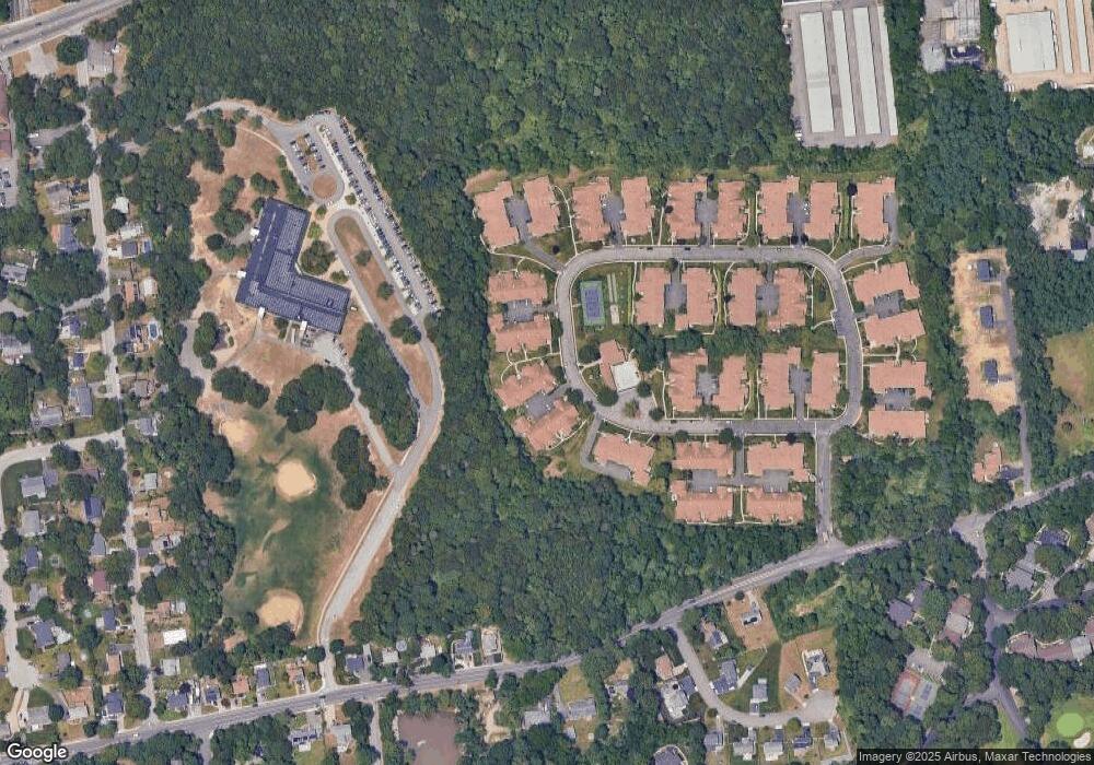
Map
Nearby Homes
- 122 Theodore Dr
- 163 Theodore Dr
- 56 Theodore Dr
- 190 Theodore Dr
- 36 Theodore Dr
- 11 Theodore Dr
- 655 Middle Country Rd Unit 4F2
- 655 Middle Country Rd Unit 7B1
- 20 Half Hollow Rd
- 431 Clubhouse Ct
- 1 Eileen Ct
- 312 Clubhouse Ct
- 13 Beech Ct Unit 13
- 58 Birchwood Rd
- 151 Pauls Path
- 269 Brettonwoods Dr
- 7 Hemlock Ct Unit 7
- 99 Birchwood Rd
- 92 Birchwood Rd
- 77 Birchwood Rd
- 126 Theodore Dr
- 127 Theodore Dr
- 128 Theodore Dr
- 131 Theodore Dr
- 130 Theodore Dr
- 132 Theodore Dr
- 129 Theodore Dr
- 133 Theodore Dr
- 137 Theodore Dr
- 134 Theodore Dr
- 118 Theodore Dr
- 118 Theodore Dr
- 120 Theodore Dr
- 136 Theodore Dr
- 121 Theodore Dr
- 119 Theodore Dr
- 123 Theodore Dr
- 124 Theodore Dr
- 139 Theodore Dr
- 112 Theodore Dr