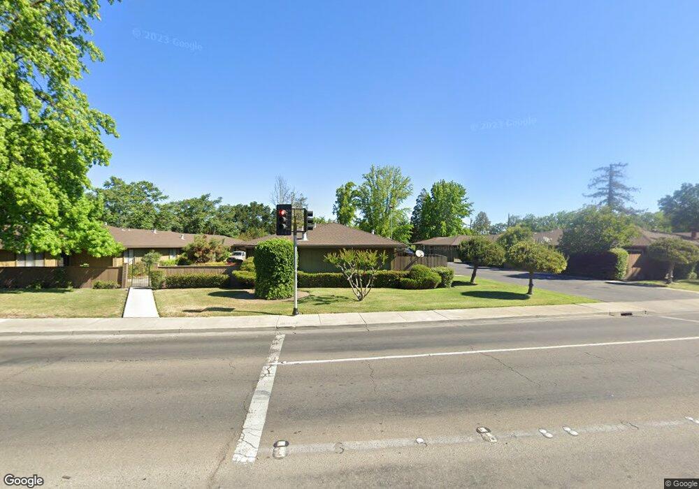
125 W Swain Rd Stockton, CA 95207
Lincoln Village NeighborhoodEstimated Value: $250,000 - $381,000
2
Beds
2
Baths
1,221
Sq Ft
$268/Sq Ft
Est. Value
About This Home
This home is located at 125 W Swain Rd, Stockton, CA 95207 and is currently estimated at $327,596, approximately $268 per square foot. 125 W Swain Rd is a home located in San Joaquin County with nearby schools including Lincoln Elementary School, Sierra Middle School, and Lincoln High School.
Ownership History
Date
Name
Owned For
Owner Type
Purchase Details
Closed on
Apr 24, 2014
Sold by
Waugh Sharon R
Bought by
Waugh Sharon
Current Estimated Value
Purchase Details
Closed on
Jan 20, 2010
Sold by
Waugh Sharon W
Bought by
Waugh Sharon W and Sharon Raye Waugh Inter Vivos
Purchase Details
Closed on
Jun 27, 2005
Sold by
Bava Raymond P and Bava Erma J
Bought by
Waugh Sharon R
Home Financials for this Owner
Home Financials are based on the most recent Mortgage that was taken out on this home.
Original Mortgage
$192,000
Outstanding Balance
$94,276
Interest Rate
4.75%
Mortgage Type
Purchase Money Mortgage
Estimated Equity
$233,320
Create a Home Valuation Report for This Property
The Home Valuation Report is an in-depth analysis detailing your home's value as well as a comparison with similar homes in the area
Home Values in the Area
Average Home Value in this Area
Purchase History
| Date | Buyer | Sale Price | Title Company |
|---|---|---|---|
| Waugh Sharon | -- | None Available | |
| Waugh Sharon W | -- | None Available | |
| Waugh Sharon R | -- | Alliance Title Co |
Source: Public Records
Mortgage History
| Date | Status | Borrower | Loan Amount |
|---|---|---|---|
| Open | Waugh Sharon R | $192,000 |
Source: Public Records
Tax History Compared to Growth
Tax History
| Year | Tax Paid | Tax Assessment Tax Assessment Total Assessment is a certain percentage of the fair market value that is determined by local assessors to be the total taxable value of land and additions on the property. | Land | Improvement |
|---|---|---|---|---|
| 2025 | $1,381 | $116,272 | $33,218 | $83,054 |
| 2024 | $1,355 | $113,993 | $32,567 | $81,426 |
| 2023 | $1,325 | $111,759 | $31,929 | $79,830 |
| 2022 | $1,293 | $109,568 | $31,303 | $78,265 |
| 2021 | $1,241 | $107,421 | $30,690 | $76,731 |
| 2020 | $1,264 | $106,321 | $30,376 | $75,945 |
| 2019 | $1,257 | $104,237 | $29,781 | $74,456 |
| 2018 | $1,233 | $102,195 | $29,198 | $72,997 |
| 2017 | $1,166 | $100,192 | $28,626 | $71,566 |
| 2016 | $1,186 | $98,228 | $28,065 | $70,163 |
| 2014 | $1,127 | $94,858 | $27,102 | $67,756 |
Source: Public Records
Map
Nearby Homes
- 210 W Pearl Ave
- 311 W Norwich Dr
- 20 W Norwich Dr
- 126 Nottingham Dr
- 5614 Tamworth Way
- 5806 N El Dorado St
- 6510 N El Dorado St
- 6009 Glenbrook Ln
- 36 Lynda Ave
- 518 W Lincoln Rd
- 7 W Loretta Ave
- 332 Jean Ave
- 1140 Douglas Rd Unit 3
- 722 E Swain Rd
- 6905 N El Dorado St
- 7015 N El Dorado St
- 5662 Kermit Ln
- 5536 Kermit Ln
- 5416 Ridgeway Ave
- 5511 Audrey Dr
- 123 W Swain Rd
- 129 W Swain Rd
- 127 W Swain Rd
- 121 W Swain Rd
- 119 W Swain Rd
- 131 W Swain Rd
- 205 W Swain Rd
- 113 W Swain Rd
- 133 W Swain Rd
- 111 W Swain Rd
- 115 W Swain Rd
- 118 W Swain Rd
- 117 W Swain Rd
- 215 W Swain Rd
- 216 W Pearl Ave
- 6003 N Alturas Ave
- 202 W Swain Rd
- 224 W Pearl Ave
- 6009 N Alturas Ave
- 208 W Pearl Ave