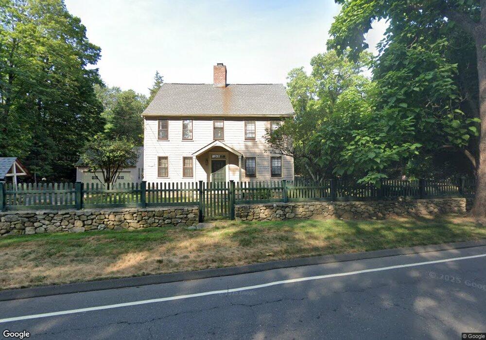
125 Weston Rd Westport, CT 06880
Coleytown NeighborhoodEstimated Value: $1,986,173 - $2,342,000
--
Bed
3
Baths
--
Sq Ft
0.7
Acres
About This Home
This home is located at 125 Weston Rd, Westport, CT 06880 and is currently estimated at $2,187,043. 125 Weston Rd is a home located in Fairfield County with nearby schools including Coleytown Elementary School, Coleytown Middle School, and Staples High School.
Ownership History
Date
Name
Owned For
Owner Type
Purchase Details
Closed on
Oct 26, 2007
Sold by
Farrell Karr Winslow and Farrell Diane Cg
Bought by
Cion Marjorie B
Current Estimated Value
Create a Home Valuation Report for This Property
The Home Valuation Report is an in-depth analysis detailing your home's value as well as a comparison with similar homes in the area
Home Values in the Area
Average Home Value in this Area
Purchase History
| Date | Buyer | Sale Price | Title Company |
|---|---|---|---|
| Cion Marjorie B | $1,413,000 | -- | |
| Cion Marjorie B | $1,413,000 | -- |
Source: Public Records
Mortgage History
| Date | Status | Borrower | Loan Amount |
|---|---|---|---|
| Previous Owner | Cion Marjorie B | $850,000 | |
| Previous Owner | Cion Marjorie B | $204,500 | |
| Previous Owner | Cion Marjorie B | $203,000 |
Source: Public Records
Tax History Compared to Growth
Tax History
| Year | Tax Paid | Tax Assessment Tax Assessment Total Assessment is a certain percentage of the fair market value that is determined by local assessors to be the total taxable value of land and additions on the property. | Land | Improvement |
|---|---|---|---|---|
| 2025 | $15,037 | $797,300 | $319,100 | $478,200 |
| 2024 | $14,846 | $797,300 | $319,100 | $478,200 |
| 2023 | $14,647 | $798,200 | $319,100 | $479,100 |
| 2022 | $14,423 | $798,200 | $319,100 | $479,100 |
| 2021 | $86,148 | $798,200 | $319,100 | $479,100 |
| 2020 | $15,049 | $900,600 | $273,800 | $626,800 |
| 2019 | $15,184 | $900,600 | $273,800 | $626,800 |
| 2018 | $15,184 | $900,600 | $273,800 | $626,800 |
| 2017 | $15,184 | $900,600 | $273,800 | $626,800 |
| 2016 | $15,184 | $900,600 | $273,800 | $626,800 |
| 2015 | $14,776 | $816,800 | $220,500 | $596,300 |
| 2014 | $14,653 | $816,800 | $220,500 | $596,300 |
Source: Public Records
Map
Nearby Homes
- 31 Riverfield Dr
- 17 Huckleberry Ln
- 30 Cavalry Rd
- 4 Good Hill Rd
- 40 Hermit Ln
- 87 Red Coat Rd
- 25 Hermit Ln
- 4A Newtown Turnpike
- 14 Northfield Dr
- 21 Warnock Dr
- 24 Warnock Dr
- 9 Greenbrier Rd
- 32 Kettle Creek Rd
- 10 Twin Falls Ln
- 93 E Meadow Rd
- 489 Main St
- 483 Main St
- 31 White Birch Rd
- 56 Charcoal Hill Rd
- 1 Greenlea Ln