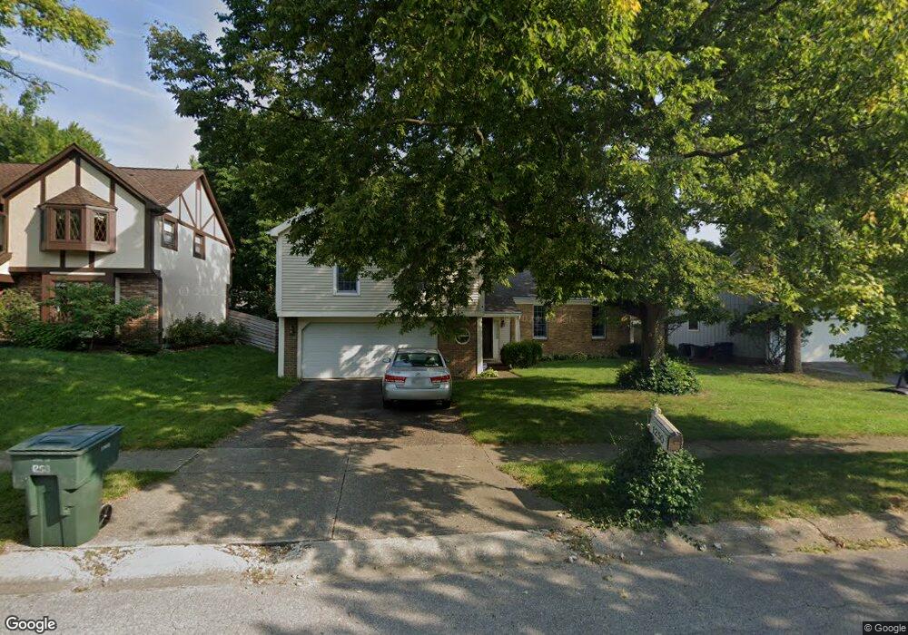
1250 Amol Ln Columbus, OH 43235
Worthingview NeighborhoodEstimated Value: $413,019 - $524,000
4
Beds
3
Baths
1,812
Sq Ft
$252/Sq Ft
Est. Value
About This Home
This home is located at 1250 Amol Ln, Columbus, OH 43235 and is currently estimated at $457,005, approximately $252 per square foot. 1250 Amol Ln is a home located in Franklin County with nearby schools including Bluffsview Elementary School, McCord Middle School, and Worthington Kilbourne High School.
Ownership History
Date
Name
Owned For
Owner Type
Purchase Details
Closed on
May 15, 2013
Sold by
Jennings Michael G and Jennings Mary Ann
Bought by
Jennings Michael G and Jennings Mary Ann
Current Estimated Value
Purchase Details
Closed on
Aug 17, 1981
Bought by
Jennings Michael G
Create a Home Valuation Report for This Property
The Home Valuation Report is an in-depth analysis detailing your home's value as well as a comparison with similar homes in the area
Home Values in the Area
Average Home Value in this Area
Purchase History
| Date | Buyer | Sale Price | Title Company |
|---|---|---|---|
| Jennings Michael G | -- | None Available | |
| Jennings Michael G | -- | -- |
Source: Public Records
Tax History
| Year | Tax Paid | Tax Assessment Tax Assessment Total Assessment is a certain percentage of the fair market value that is determined by local assessors to be the total taxable value of land and additions on the property. | Land | Improvement |
|---|---|---|---|---|
| 2025 | $6,999 | $123,800 | $40,600 | $83,200 |
| 2024 | $6,999 | $123,800 | $40,600 | $83,200 |
| 2023 | $6,730 | $123,795 | $40,600 | $83,195 |
| 2022 | $5,263 | $79,880 | $20,550 | $59,330 |
| 2021 | $4,855 | $79,880 | $20,550 | $59,330 |
| 2020 | $4,677 | $79,880 | $20,550 | $59,330 |
| 2019 | $4,391 | $69,020 | $17,850 | $51,170 |
| 2018 | $2,127 | $69,020 | $17,850 | $51,170 |
| 2017 | $3,935 | $69,020 | $17,850 | $51,170 |
| 2016 | $4,582 | $73,290 | $17,150 | $56,140 |
| 2015 | $2,291 | $73,290 | $17,150 | $56,140 |
| 2014 | $4,581 | $73,290 | $17,150 | $56,140 |
| 2013 | $2,043 | $66,605 | $15,575 | $51,030 |
Source: Public Records
Map
Nearby Homes
- 1278 Amol Ln
- 1380 Tiehack Ct
- 7164 Durness Place
- 7370 Coldstream Dr
- 6904 Clydeway Ct
- 6623 Millbrae Rd
- 1001 Rutherglen Dr
- 812 Hard Rd
- 6784 Heathview St
- 1930 Shallowford Ave
- 6637 Merwin Rd
- 6747 Merwin Rd
- 7034 Rockhaven Place
- 1978 Shallowford Ave
- 797 Troon Trail
- 6876 Spruce Pine Dr
- 7746 Sagemeadow Ct
- 2001 Sawbury Blvd Unit 2001
- 890 Pipestone Dr
- 784 Pinecliff Place
- 1258 Amol Ln
- 1242 Amol Ln
- 1245 Churchbell Way
- 1234 Amol Ln
- 1239 Churchbell Way
- 1266 Amol Ln
- 1257 Churchbell Way
- 1269 Churchbell Way
- 1253 Amol Ln
- 1245 Amol Ln
- 1233 Churchbell Way
- 1261 Amol Ln
- 1237 Amol Ln
- 1226 Amol Ln
- 1227 Churchbell Way
- 1229 Amol Ln
- 1265 Amol Ln
- 1218 Amol Ln
- 1248 Cross Country Dr
- 1219 Churchbell Way
Your Personal Tour Guide
Ask me questions while you tour the home.