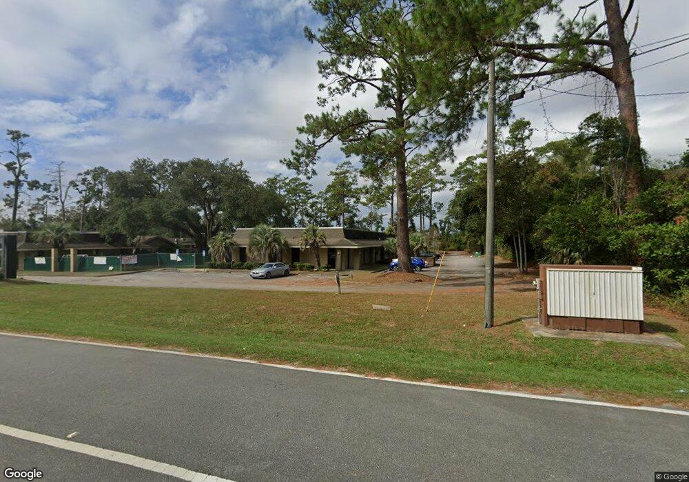
1250 Blountstown St Tallahassee, FL 32304
West Tallahassee Neighborhood
--
Bed
--
Bath
6,250
Sq Ft
6,534
Sq Ft Lot
About This Home
This home is located at 1250 Blountstown St, Tallahassee, FL 32304. 1250 Blountstown St is a home located in Leon County with nearby schools including Sabal Palm Elementary School, R. Frank Nims Middle School, and Amos P. Godby High School.
Ownership History
Date
Name
Owned For
Owner Type
Purchase Details
Closed on
Sep 22, 2012
Sold by
Parkwest Llc
Bought by
Taipan Raintree Llc
Purchase Details
Closed on
Jun 15, 2006
Sold by
Parkwest Llc
Bought by
Parkwest Ten Llc
Home Financials for this Owner
Home Financials are based on the most recent Mortgage that was taken out on this home.
Original Mortgage
$1,610,000
Interest Rate
6.57%
Mortgage Type
Commercial
Create a Home Valuation Report for This Property
The Home Valuation Report is an in-depth analysis detailing your home's value as well as a comparison with similar homes in the area
Home Values in the Area
Average Home Value in this Area
Purchase History
| Date | Buyer | Sale Price | Title Company |
|---|---|---|---|
| Taipan Raintree Llc | $3,853,100 | Attorney | |
| Parkwest Ten Llc | -- | None Available | |
| Parkwest Llc | $3,535,000 | None Available |
Source: Public Records
Mortgage History
| Date | Status | Borrower | Loan Amount |
|---|---|---|---|
| Previous Owner | Parkwest Llc | $1,610,000 |
Source: Public Records
Tax History Compared to Growth
Tax History
| Year | Tax Paid | Tax Assessment Tax Assessment Total Assessment is a certain percentage of the fair market value that is determined by local assessors to be the total taxable value of land and additions on the property. | Land | Improvement |
|---|---|---|---|---|
| 2024 | $3,296 | -- | -- | -- |
| 2023 | $3,296 | $170,320 | $29,688 | $140,632 |
| 2022 | $2,860 | $161,224 | $29,688 | $131,536 |
| 2021 | $2,658 | $145,975 | $29,688 | $116,287 |
| 2020 | $2,622 | $146,385 | $31,250 | $115,135 |
| 2019 | $2,619 | $144,126 | $31,250 | $112,876 |
| 2018 | $2,586 | $140,289 | $31,250 | $109,039 |
| 2017 | $2,605 | $139,426 | $0 | $0 |
| 2016 | $2,595 | $136,325 | $0 | $0 |
| 2015 | $2,381 | $136,325 | $0 | $0 |
| 2014 | $2,381 | $136,325 | $0 | $0 |
Source: Public Records
Map
Nearby Homes
- 3165 Allison Marie Ct
- 1314 Appleyard Dr
- 2997 Dian Rd
- 2635 Mission Rd
- 1933 Bloomington Ave
- 1924 Corvallis Ave
- 1936 Ann Arbor Ave
- 1938 Ann Arbor Ave
- 1974 Green Castle Ln Unit 706
- 1972 Green Castle Ln Unit 705
- 1986 Ann Arbor Ave Unit 8 units
- 1986 Ann Arbor Ave Unit 8 unit building
- 3238 Nekoma Ln
- 1337 Dura Cir
- 1987 Bloomington Ave Unit 8 units
- 1987 Bloomington Ave Unit 8 Unit Building
- 1966 Green Castle Ln Unit 702
- 1964 Green Castle Ln Unit 701
- 2002 Ann Arbor Ave Unit 4 units
- 2003 Bloomington Ave Unit 8 units
- 0 Blountstown St Unit 318926
- 0 Blountstown St Unit 318925
- 0 Blountstown St Unit 311683
- 758 Parklawn St
- 766 Parklawn St
- 1244 Blountstown St
- xxxx Blountstown St Unit n/a
- 3117 Parklawn St Unit 758
- 3117 Parklawn St Unit Subdivision
- 3117 Parklawn St
- 3117 Parklawn St Unit County
- 742 Parklawn Ct
- 778 Parklawn St
- 754 Parklawn Ct
- 3125 Parklawn St Unit 1
- 3125 Parklawn St
- 1319 Burgess Dr Unit B
- 1319 Burgess Dr
- 1317 Burgess Dr
- 1321 Burgess Dr Unit A