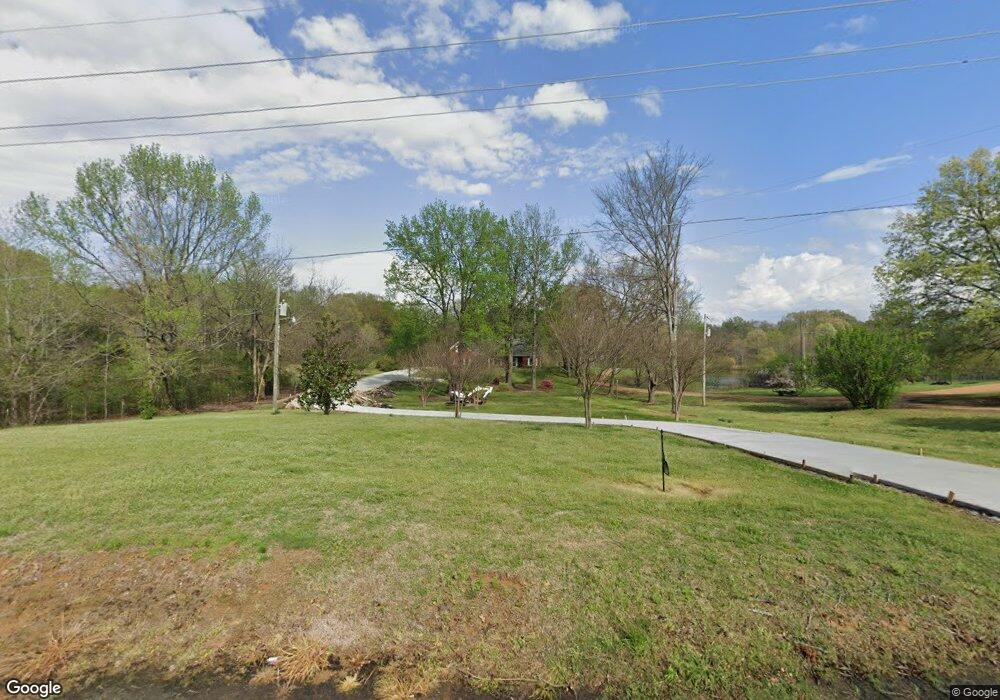
1250 Highway 305 N Olive Branch, MS 38654
Lewisburg NeighborhoodEstimated Value: $421,000 - $714,000
4
Beds
--
Bath
3,215
Sq Ft
$165/Sq Ft
Est. Value
About This Home
This home is located at 1250 Highway 305 N, Olive Branch, MS 38654 and is currently estimated at $529,021, approximately $164 per square foot. 1250 Highway 305 N is a home with nearby schools including Lewisburg Primary School, Lewisburg Elementary School, and Lewisburg Middle School.
Ownership History
Date
Name
Owned For
Owner Type
Purchase Details
Closed on
Aug 9, 2010
Sold by
First Security Bank
Bought by
Givens Earnest R and Givens Patricia
Current Estimated Value
Purchase Details
Closed on
Nov 9, 2009
Sold by
Sewell William Joseph and Morgan Sewell Cindy
Bought by
First Security Bank
Create a Home Valuation Report for This Property
The Home Valuation Report is an in-depth analysis detailing your home's value as well as a comparison with similar homes in the area
Home Values in the Area
Average Home Value in this Area
Purchase History
| Date | Buyer | Sale Price | Title Company |
|---|---|---|---|
| Givens Earnest R | -- | None Available | |
| First Security Bank | $34,211 | None Available |
Source: Public Records
Tax History Compared to Growth
Tax History
| Year | Tax Paid | Tax Assessment Tax Assessment Total Assessment is a certain percentage of the fair market value that is determined by local assessors to be the total taxable value of land and additions on the property. | Land | Improvement |
|---|---|---|---|---|
| 2024 | $1,225 | $19,634 | $2,000 | $17,634 |
| 2023 | $1,225 | $19,634 | $0 | $0 |
| 2022 | $1,225 | $19,634 | $2,000 | $17,634 |
| 2021 | $1,225 | $19,634 | $2,000 | $17,634 |
| 2020 | $1,225 | $19,634 | $2,000 | $17,634 |
| 2019 | $1,225 | $19,634 | $2,000 | $17,634 |
| 2017 | $1,227 | $37,130 | $19,565 | $17,565 |
| 2016 | $1,227 | $19,565 | $2,000 | $17,565 |
| 2015 | $1,990 | $37,130 | $19,565 | $17,565 |
| 2014 | $1,227 | $19,565 | $0 | $0 |
| 2013 | $305 | $19,565 | $0 | $0 |
Source: Public Records
Map
Nearby Homes
- 1615 Highway 305 N
- 0 Bethel Rd Unit 4096893
- 443 Highway 305 N
- 9278 Bethel Rd
- 2275 Highway 305 N
- 9100 E Broadway Rd
- 268 Bonnie Blue Cove
- 8900 Elizabeth Cove
- 8785 Robertson Ln N
- 1970 Planter's Dr
- 2763 Fall Spring Dr
- 9278 Woolsey Rd
- 5293 Borden Creek Dr
- 5291 Borden Creek Dr
- 10203 Woolsey Rd
- 2835 S Cypress Lake Dr
- 7198 Harrier Dr E
- 252 Shinpoch Ln
- 7189 Bethel Rd
- 10779 Bethel Rd
- 1206 Highway 305 N
- 1118 Highway 305 N
- 1212 Highway 305 N
- 1115 Highway 305 N
- 1385 Highway 305 N
- 1385 Highway 305 N
- 1385 Highway 305 N Unit 305
- 1353 Highway 305 N
- 1353 Highway 305 N Unit 305
- 1353 Highway 305 N
- 1385 Highway Unit 305
- 1301 Ms-305
- 1100 Highway 305 N
- 8951 Cole Rd
- 8811 Cole Rd
- 1509 Highway 305 N
- 8889 Cole Rd
- 8889 Cole Rd
- 1620 Highway 305 N
- Lot 2 Cole Rd