1250 Liberty Ln Unit A Gallatin, TN 37066
Estimated Value: $695,000 - $840,842
4
Beds
3
Baths
3,039
Sq Ft
$248/Sq Ft
Est. Value
About This Home
This home is located at 1250 Liberty Ln Unit A, Gallatin, TN 37066 and is currently estimated at $754,711, approximately $248 per square foot. 1250 Liberty Ln Unit A is a home located in Sumner County with nearby schools including Station Camp High School.
Ownership History
Date
Name
Owned For
Owner Type
Purchase Details
Closed on
Feb 14, 2020
Sold by
Wynne Michael and Holman Darlene
Bought by
Tucker Matthew and Tucker Heather
Current Estimated Value
Home Financials for this Owner
Home Financials are based on the most recent Mortgage that was taken out on this home.
Original Mortgage
$360,000
Outstanding Balance
$283,958
Interest Rate
3.6%
Mortgage Type
New Conventional
Estimated Equity
$470,753
Purchase Details
Closed on
Sep 11, 1997
Sold by
Blackmore Bernard H
Bought by
Wynne Michael and Holman Darlene
Home Financials for this Owner
Home Financials are based on the most recent Mortgage that was taken out on this home.
Original Mortgage
$24,375
Interest Rate
7.46%
Mortgage Type
Seller Take Back
Create a Home Valuation Report for This Property
The Home Valuation Report is an in-depth analysis detailing your home's value as well as a comparison with similar homes in the area
Home Values in the Area
Average Home Value in this Area
Purchase History
| Date | Buyer | Sale Price | Title Company |
|---|---|---|---|
| Tucker Matthew | $400,000 | Tennessee Title Services Llc | |
| Wynne Michael | $32,500 | Title Enterprises Llc |
Source: Public Records
Mortgage History
| Date | Status | Borrower | Loan Amount |
|---|---|---|---|
| Open | Tucker Matthew | $360,000 | |
| Previous Owner | Wynne Michael | $24,375 |
Source: Public Records
Tax History Compared to Growth
Tax History
| Year | Tax Paid | Tax Assessment Tax Assessment Total Assessment is a certain percentage of the fair market value that is determined by local assessors to be the total taxable value of land and additions on the property. | Land | Improvement |
|---|---|---|---|---|
| 2024 | $2,668 | $187,725 | $48,400 | $139,325 |
| 2023 | $2,252 | $100,000 | $36,575 | $63,425 |
| 2022 | $2,262 | $100,000 | $36,575 | $63,425 |
| 2021 | $2,262 | $100,000 | $36,575 | $63,425 |
| 2020 | $2,262 | $100,000 | $36,575 | $63,425 |
| 2019 | $3,064 | $0 | $0 | $0 |
| 2018 | $2,114 | $0 | $0 | $0 |
| 2017 | $2,114 | $0 | $0 | $0 |
| 2016 | $2,114 | $0 | $0 | $0 |
| 2015 | -- | $0 | $0 | $0 |
| 2014 | -- | $0 | $0 | $0 |
Source: Public Records
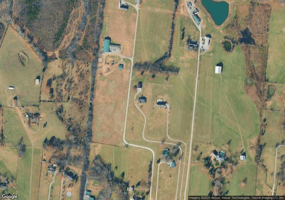
Map
Nearby Homes
- 2045 Liberty Ln
- 1176 Liberty Ln
- 315 Cummings Ln
- 650 Neals Ln
- 1869 Tennessee 25
- 1017 Wickshire Dr
- 0 Franklin Rd
- 1328 Wentworth Dr
- 1036 Middleton Ln
- 540 Bradford Dr
- 305 Remington Ave
- 308 Collier Ln
- 300 Remington Ave
- 1273 Wentworth Dr
- 608 Bradford Dr
- 1245 Amherst Ct
- 172 Cavalcade Loop
- 1239 Wentworth Dr
- 249 Cavalcade Loop
- 420 Dorchester Place
- 1250 Liberty Ln Unit A
- 1250 Liberty Ln
- 1250 Liberty Ln Unit A
- 1266 Liberty Ln
- 1258 Liberty Ln
- 1240 Liberty Ln
- 1266 Liberty Ln
- 1226 Liberty Ln
- 1300 Liberty Ln
- 1326 Liberty Ln
- 1312 Liberty Ln
- 1404 Liberty Ln
- 1308 Liberty Ln
- 1370 Liberty Ln
- 1206 Liberty Ln
- 693 Neals Ln
- 1311 Liberty Ln
- 1255 Liberty Ln
- 1412 Liberty Ln
- 1188 Liberty Ln