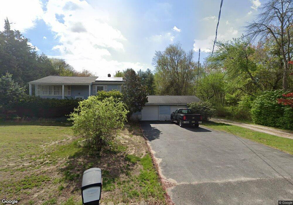
1250 Maxim Southard Rd Howell, NJ 07731
Southard NeighborhoodEstimated Value: $638,657 - $761,000
4
Beds
2
Baths
1,960
Sq Ft
$358/Sq Ft
Est. Value
About This Home
This home is located at 1250 Maxim Southard Rd, Howell, NJ 07731 and is currently estimated at $701,164, approximately $357 per square foot. 1250 Maxim Southard Rd is a home located in Monmouth County with nearby schools including Ramtown School, Greenville School, and Howell Township Middle School South.
Ownership History
Date
Name
Owned For
Owner Type
Purchase Details
Closed on
Mar 10, 1997
Sold by
Santini Elizabeth
Bought by
Wojcik Mark
Current Estimated Value
Home Financials for this Owner
Home Financials are based on the most recent Mortgage that was taken out on this home.
Original Mortgage
$119,000
Outstanding Balance
$12,966
Interest Rate
7.79%
Estimated Equity
$688,198
Create a Home Valuation Report for This Property
The Home Valuation Report is an in-depth analysis detailing your home's value as well as a comparison with similar homes in the area
Home Values in the Area
Average Home Value in this Area
Purchase History
| Date | Buyer | Sale Price | Title Company |
|---|---|---|---|
| Wojcik Mark | $164,000 | -- |
Source: Public Records
Mortgage History
| Date | Status | Borrower | Loan Amount |
|---|---|---|---|
| Open | Wojcik Mark | $119,000 |
Source: Public Records
Tax History Compared to Growth
Tax History
| Year | Tax Paid | Tax Assessment Tax Assessment Total Assessment is a certain percentage of the fair market value that is determined by local assessors to be the total taxable value of land and additions on the property. | Land | Improvement |
|---|---|---|---|---|
| 2025 | $7,139 | $451,000 | $260,100 | $190,900 |
| 2024 | $6,997 | $401,500 | $214,100 | $187,400 |
| 2023 | $6,997 | $376,000 | $193,000 | $183,000 |
| 2022 | $6,655 | $333,300 | $159,000 | $174,300 |
| 2021 | $6,655 | $314,000 | $159,000 | $155,000 |
| 2020 | $7,279 | $313,500 | $159,000 | $154,500 |
| 2019 | $7,467 | $315,600 | $158,100 | $157,500 |
| 2018 | $7,338 | $308,200 | $158,100 | $150,100 |
| 2017 | $7,070 | $293,600 | $148,100 | $145,500 |
| 2016 | $6,734 | $276,900 | $135,100 | $141,800 |
| 2015 | $6,715 | $273,300 | $135,100 | $138,200 |
| 2014 | $7,152 | $270,100 | $150,100 | $120,000 |
Source: Public Records
Map
Nearby Homes
- 1070 Maxim Southard Rd
- 140 Locust Ave
- 222 Lanes Pond Rd
- 4 Mendon Dr
- 40 S Westfield Rd
- 46 Berkshire Dr
- 100 Solomon St
- 8 Haystack Ct
- 4 Haystack Ct
- 35 Winsted Dr
- 46 Markwood Dr
- 31 Rappleyea Rd
- 10 Pepperridge Rd
- 1042 Maxim Southard Rd
- 6 Taft St
- 17 Sugarbush Rd
- 7 Cardinal Ln
- 13 Alec Dr
- 3 Canary Cir
- 0 Alexander Ave
- 1250 Maxim Southard Rd
- 1242 Maxim Southard Rd
- 1256 Maxim Southard Rd
- 1264 Maxim Southard Rd
- 1272 Maxim Southard Rd
- 1278 Maxim Southard Rd
- 1216 Maxim Southard Rd
- 242 Locust Ave
- 250 Locust Ave
- 258 Locust Ave
- 235 Locust Ave
- 225 Locust Ave
- 266 Locust Ave
- 1208 Maxim Southard Rd
- 245 Locust Ave
- 251 Locust Ave
- 257 Locust Ave
- 202 Locust Ave
- 276 Locust Ave
- 263 Locust Ave