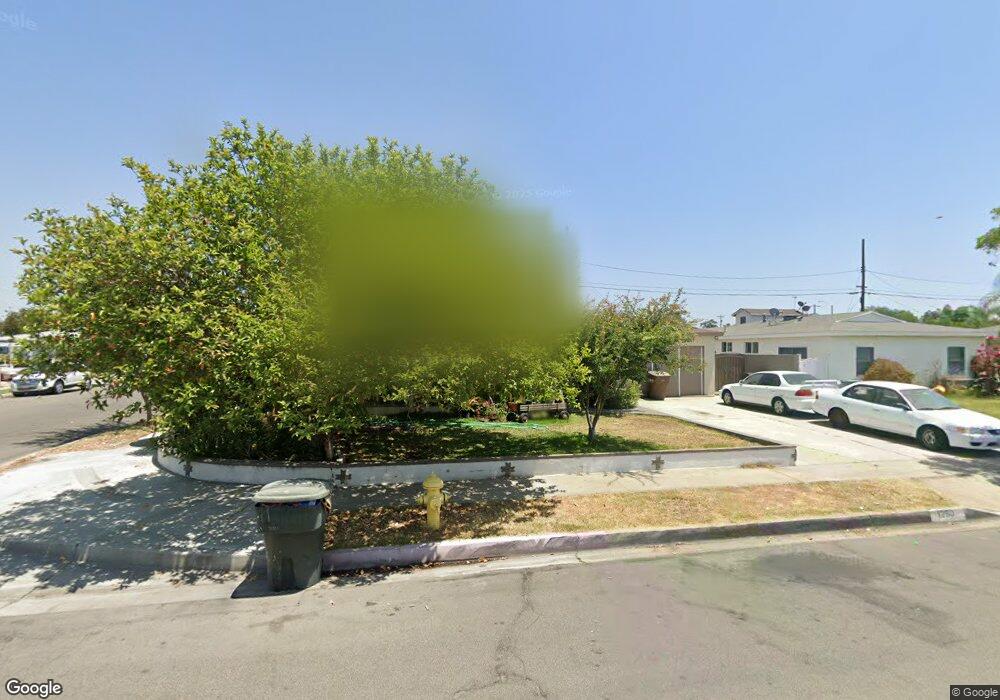
1250 N Foxfire St Anaheim, CA 92801
Northwest Anaheim NeighborhoodEstimated Value: $890,159 - $979,000
4
Beds
2
Baths
1,447
Sq Ft
$640/Sq Ft
Est. Value
About This Home
This home is located at 1250 N Foxfire St, Anaheim, CA 92801 and is currently estimated at $926,290, approximately $640 per square foot. 1250 N Foxfire St is a home located in Orange County with nearby schools including Patrick Henry Elementary School, Sycamore Junior High School, and Anaheim High School.
Ownership History
Date
Name
Owned For
Owner Type
Purchase Details
Closed on
May 8, 2023
Sold by
Cruz Tomas M
Bought by
Santos Ruperto Cruz
Current Estimated Value
Purchase Details
Closed on
Oct 8, 2002
Sold by
Carballo Mariano and Cruz Tomas M
Bought by
Cruz Tomas M
Purchase Details
Closed on
Feb 13, 2002
Sold by
Rodriguez Manuel G and Rodriguez Benigna G
Bought by
Carballo Mariano and Cruz Tomas M
Home Financials for this Owner
Home Financials are based on the most recent Mortgage that was taken out on this home.
Original Mortgage
$232,750
Interest Rate
7.75%
Purchase Details
Closed on
Mar 25, 1999
Sold by
Teodoro Athena R
Bought by
Rodriguez Manuel G and Rodriguez Benigna G
Home Financials for this Owner
Home Financials are based on the most recent Mortgage that was taken out on this home.
Original Mortgage
$173,569
Interest Rate
7.01%
Mortgage Type
FHA
Create a Home Valuation Report for This Property
The Home Valuation Report is an in-depth analysis detailing your home's value as well as a comparison with similar homes in the area
Home Values in the Area
Average Home Value in this Area
Purchase History
| Date | Buyer | Sale Price | Title Company |
|---|---|---|---|
| Santos Ruperto Cruz | -- | None Listed On Document | |
| Cruz Tomas M | -- | -- | |
| Carballo Mariano | $245,000 | Orange Coast Title | |
| Rodriguez Manuel G | $175,000 | -- |
Source: Public Records
Mortgage History
| Date | Status | Borrower | Loan Amount |
|---|---|---|---|
| Previous Owner | Carballo Mariano | $232,750 | |
| Previous Owner | Rodriguez Manuel G | $173,569 |
Source: Public Records
Tax History Compared to Growth
Tax History
| Year | Tax Paid | Tax Assessment Tax Assessment Total Assessment is a certain percentage of the fair market value that is determined by local assessors to be the total taxable value of land and additions on the property. | Land | Improvement |
|---|---|---|---|---|
| 2025 | $16,318 | $780,300 | $692,619 | $87,681 |
| 2024 | $16,318 | $765,000 | $679,038 | $85,962 |
| 2023 | $11,566 | $341,053 | $275,239 | $65,814 |
| 2022 | $11,512 | $334,366 | $269,842 | $64,524 |
| 2021 | $11,516 | $327,810 | $264,551 | $63,259 |
| 2020 | $11,454 | $324,449 | $261,838 | $62,611 |
| 2019 | $11,336 | $318,088 | $256,704 | $61,384 |
| 2018 | $11,251 | $311,851 | $251,670 | $60,181 |
| 2017 | $11,083 | $305,737 | $246,736 | $59,001 |
| 2016 | $7,843 | $299,743 | $241,898 | $57,845 |
| 2015 | $3,588 | $295,241 | $238,264 | $56,977 |
| 2014 | $3,369 | $289,458 | $233,597 | $55,861 |
Source: Public Records
Map
Nearby Homes
- 1613 S Roosevelt Ave
- 1506 S Euclid St
- 467 W Roberta Ave
- 1512 S Lovering Ave
- 1519 S Lovering Ave
- 1507 S Lovering Ave
- 1173 N Mayfair Ave
- 1723 W Francis Dr
- 1125 N Mayfair Ave
- 1311 Clementine Way
- 1302 N Mako Ln Unit 2
- 442 W Porter Ave
- 601 W Southgate Ave
- 1148 W Porter Ave
- 945 N Summer St
- 1128 N Voyager Ln
- 540 W Knepp Ave
- 1384 N Schooner Ln Unit 85
- 1137 W Porter Ave
- 1206 W Porter Ave
- 1246 N Foxfire St
- 1253 N Bluegrass St
- 1249 N Bluegrass St
- 1242 N Foxfire St
- 1411 W Arlington Ave
- 1417 W Arlington Ave
- 1407 W Arlington Ave
- 1251 N Foxfire St
- 1243 N Bluegrass St
- 1245 N Foxfire St
- 1421 W Arlington Ave
- 1236 N Foxfire St
- 1305 N Bluegrass St
- 1239 N Bluegrass St
- 1239 N Foxfire St
- 1425 W Arlington Ave
- 1332 W Arlington Ave
- 1412 W Chevy Chase Dr
- 1416 W Chevy Chase Dr
- 1232 N Foxfire St