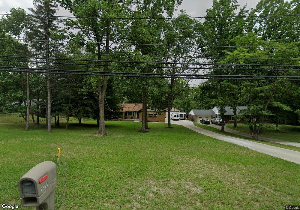
1250 Old Rockside Rd Cleveland, OH 44134
Estimated Value: $226,000 - $273,000
3
Beds
2
Baths
1,576
Sq Ft
$162/Sq Ft
Est. Value
About This Home
This home is located at 1250 Old Rockside Rd, Cleveland, OH 44134 and is currently estimated at $254,938, approximately $161 per square foot. 1250 Old Rockside Rd is a home located in Cuyahoga County with nearby schools including John Muir Elementary School, Hillside Middle School, and Normandy High School.
Ownership History
Date
Name
Owned For
Owner Type
Purchase Details
Closed on
Nov 24, 2009
Sold by
Froberg Diana
Bought by
Lasiychuk Petro and Lasiychuk Mariya
Current Estimated Value
Home Financials for this Owner
Home Financials are based on the most recent Mortgage that was taken out on this home.
Original Mortgage
$110,953
Outstanding Balance
$72,555
Interest Rate
4.95%
Mortgage Type
FHA
Estimated Equity
$182,383
Purchase Details
Closed on
Jan 1, 1975
Bought by
Olenick Dorothy N
Create a Home Valuation Report for This Property
The Home Valuation Report is an in-depth analysis detailing your home's value as well as a comparison with similar homes in the area
Home Values in the Area
Average Home Value in this Area
Purchase History
| Date | Buyer | Sale Price | Title Company |
|---|---|---|---|
| Lasiychuk Petro | $113,000 | Barristers Title Agency | |
| Olenick Dorothy N | -- | -- |
Source: Public Records
Mortgage History
| Date | Status | Borrower | Loan Amount |
|---|---|---|---|
| Open | Lasiychuk Petro | $110,953 |
Source: Public Records
Tax History Compared to Growth
Tax History
| Year | Tax Paid | Tax Assessment Tax Assessment Total Assessment is a certain percentage of the fair market value that is determined by local assessors to be the total taxable value of land and additions on the property. | Land | Improvement |
|---|---|---|---|---|
| 2024 | $4,778 | $80,500 | $22,925 | $57,575 |
| 2023 | $5,053 | $67,630 | $15,440 | $52,190 |
| 2022 | $4,680 | $67,620 | $15,440 | $52,190 |
| 2021 | $4,818 | $67,620 | $15,440 | $52,190 |
| 2020 | $4,213 | $52,010 | $11,870 | $40,150 |
| 2019 | $4,035 | $148,600 | $33,900 | $114,700 |
| 2018 | $3,841 | $52,010 | $11,870 | $40,150 |
| 2017 | $3,952 | $47,290 | $8,540 | $38,750 |
| 2016 | $3,925 | $45,500 | $8,540 | $36,960 |
| 2015 | $3,620 | $45,500 | $8,540 | $36,960 |
| 2014 | $3,620 | $45,650 | $8,720 | $36,930 |
Source: Public Records
Map
Nearby Homes
- 101 Stonegate Cir
- 5651 Broadview Rd Unit A1
- 5550 Sandpiper Dr Unit 290
- 1414 Dartmoor Ave
- 281 Crescent Ridge Dr
- 1319 Dartmoor Ave
- 664 E Dawnwood Dr
- 5961 Broadview Rd
- 1415 Wexford Ave
- 100 E Decker Dr
- 2302 Brookdale Ave
- 5981 Northview Dr
- 1415 Lorimer Rd
- 5850 S Park Blvd
- 1716 Tuxedo Ave
- 2446 Fortune Ave
- 2506 Fortune Ave
- 5085 W 6th St
- 874 E Meadowlawn Blvd
- 2301 Tuxedo Ave
- 1300 Old Rockside Rd
- 1200 Old Rockside Rd
- 1350 Old Rockside Rd
- 1122 Old Rockside Rd
- 1400 Old Rockside Rd
- 1303 Old Rockside Rd
- 1425 Old Rockside Rd
- 1100 Old Rockside Rd
- 1099 Broadrock Ct
- 1450 Old Rockside Rd
- 1153 Old Rockside Rd
- 1441 Old Rockside Rd
- 1020 Old Rockside Rd
- 1151 Broadrock Ct
- 1239 Broadrock Ct
- 1279 Broadrock Ct
- 1199 Broadrock Ct
- 1149 Broadrock Ct
- 1149 Broadrock Ct
- 1069 Broadrock Ct