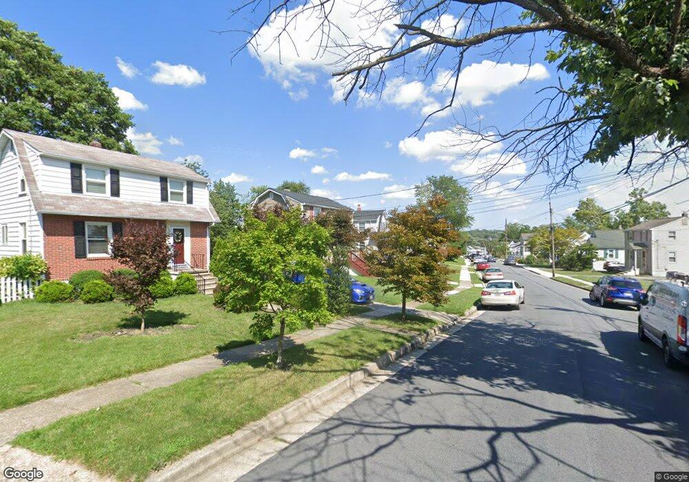
1250 Poplar Ave Halethorpe, MD 21227
Estimated Value: $296,376 - $382,000
--
Bed
1
Bath
1,360
Sq Ft
$259/Sq Ft
Est. Value
About This Home
This home is located at 1250 Poplar Ave, Halethorpe, MD 21227 and is currently estimated at $352,844, approximately $259 per square foot. 1250 Poplar Ave is a home located in Baltimore County with nearby schools including Arbutus Elementary School, Arbutus Middle School, and Lansdowne High School.
Ownership History
Date
Name
Owned For
Owner Type
Purchase Details
Closed on
Sep 14, 2018
Sold by
Robey John M and Robey Robin M
Bought by
Liggett Amee M
Current Estimated Value
Home Financials for this Owner
Home Financials are based on the most recent Mortgage that was taken out on this home.
Original Mortgage
$273,946
Outstanding Balance
$239,680
Interest Rate
4.75%
Mortgage Type
FHA
Estimated Equity
$113,164
Purchase Details
Closed on
Oct 19, 1987
Sold by
Goldhammer Howard Lee
Bought by
Robey John M and Robey Robin M
Create a Home Valuation Report for This Property
The Home Valuation Report is an in-depth analysis detailing your home's value as well as a comparison with similar homes in the area
Home Values in the Area
Average Home Value in this Area
Purchase History
| Date | Buyer | Sale Price | Title Company |
|---|---|---|---|
| Liggett Amee M | $279,000 | None Available | |
| Robey John M | $95,900 | -- |
Source: Public Records
Mortgage History
| Date | Status | Borrower | Loan Amount |
|---|---|---|---|
| Open | Liggett Amee M | $273,946 |
Source: Public Records
Tax History Compared to Growth
Tax History
| Year | Tax Paid | Tax Assessment Tax Assessment Total Assessment is a certain percentage of the fair market value that is determined by local assessors to be the total taxable value of land and additions on the property. | Land | Improvement |
|---|---|---|---|---|
| 2025 | $4,020 | $258,533 | -- | -- |
| 2024 | $4,020 | $242,900 | $79,500 | $163,400 |
| 2023 | $1,885 | $236,800 | $0 | $0 |
| 2022 | $3,560 | $230,700 | $0 | $0 |
| 2021 | $3,033 | $224,600 | $59,600 | $165,000 |
| 2020 | $3,386 | $216,533 | $0 | $0 |
| 2019 | $2,527 | $208,467 | $0 | $0 |
| 2018 | $2,748 | $200,400 | $59,600 | $140,800 |
| 2017 | $2,490 | $194,833 | $0 | $0 |
| 2016 | $2,471 | $189,267 | $0 | $0 |
| 2015 | $2,471 | $183,700 | $0 | $0 |
| 2014 | $2,471 | $183,700 | $0 | $0 |
Source: Public Records
Map
Nearby Homes
- 1242 Vogt Ave
- 5502 Osage Ave
- 1263 Birch Ave
- 1201 Poplar Ave
- 1209 Locust Ave
- 1312 Poplar Ave
- 1326 Stevens Ave
- 1328 Maple Ave
- 5523 Council St
- 1416 Sulphur Spring Rd
- 5522 Ashbourne Rd
- 5530 Willys Ave
- 5207 Arbutus Ave
- 1200 Oakland Terrace Rd
- 1029 Regina Dr
- 5215 Benson Ave
- 1229 Leeds Terrace
- 1243 Linden Ave
- 5205 Larlin Rd
- 5605 Oregon Ave
- 1252 Poplar Ave
- 1242 Poplar Ave
- 1248 Poplar Ave
- 1254 Poplar Ave
- 1246 Poplar Ave
- 1257 Vogt Ave
- 1255 Vogt Ave
- 1259 Vogt Ave
- 1259 Vogt Ave Unit B
- 1259 Vogt Ave Unit A
- 1244 Poplar Ave
- 1251 Poplar Ave
- 1253 Poplar Ave
- 1258 Poplar Ave
- 1257 Poplar Ave
- 1245 Poplar Ave
- 1256 Poplar Ave
- 1247 Poplar Ave
- 1259 Poplar Ave
- 1260 Poplar Ave