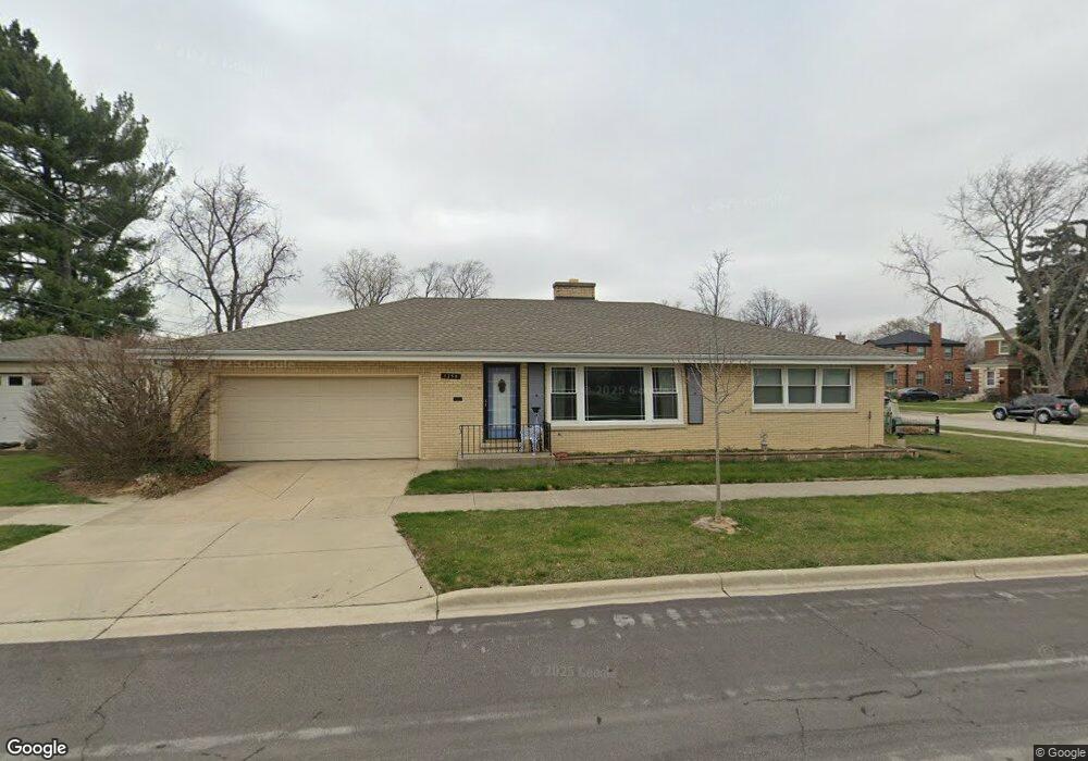
1250 Portsmouth Ave Westchester, IL 60154
Estimated Value: $371,647 - $408,000
3
Beds
2
Baths
1,667
Sq Ft
$236/Sq Ft
Est. Value
About This Home
This home is located at 1250 Portsmouth Ave, Westchester, IL 60154 and is currently estimated at $394,162, approximately $236 per square foot. 1250 Portsmouth Ave is a home located in Cook County with nearby schools including Westchester Primary School, Westchester Intermediate School, and Westchester Middle School.
Ownership History
Date
Name
Owned For
Owner Type
Purchase Details
Closed on
Jul 17, 2014
Sold by
Zito John J and Zito Linda L
Bought by
Zito Linda L and Zito John J
Current Estimated Value
Home Financials for this Owner
Home Financials are based on the most recent Mortgage that was taken out on this home.
Original Mortgage
$96,820
Outstanding Balance
$73,643
Interest Rate
4.2%
Mortgage Type
New Conventional
Estimated Equity
$320,519
Purchase Details
Closed on
Jun 11, 2001
Sold by
Zito John J and Zito Linda L
Bought by
Zito John J
Create a Home Valuation Report for This Property
The Home Valuation Report is an in-depth analysis detailing your home's value as well as a comparison with similar homes in the area
Home Values in the Area
Average Home Value in this Area
Purchase History
| Date | Buyer | Sale Price | Title Company |
|---|---|---|---|
| Zito Linda L | -- | -- | |
| Zito Linda L | -- | -- | |
| Zito John J | -- | Chicago Title Insurance Co |
Source: Public Records
Mortgage History
| Date | Status | Borrower | Loan Amount |
|---|---|---|---|
| Open | Zito Linda L | $96,820 | |
| Closed | Zito Linda L | $96,820 |
Source: Public Records
Tax History Compared to Growth
Tax History
| Year | Tax Paid | Tax Assessment Tax Assessment Total Assessment is a certain percentage of the fair market value that is determined by local assessors to be the total taxable value of land and additions on the property. | Land | Improvement |
|---|---|---|---|---|
| 2024 | $5,954 | $26,000 | $4,655 | $21,345 |
| 2023 | $5,702 | $26,000 | $4,655 | $21,345 |
| 2022 | $5,702 | $22,110 | $3,990 | $18,120 |
| 2021 | $5,546 | $22,109 | $3,990 | $18,119 |
| 2020 | $5,484 | $22,109 | $3,990 | $18,119 |
| 2019 | $5,993 | $24,642 | $3,657 | $20,985 |
| 2018 | $5,913 | $24,642 | $3,657 | $20,985 |
| 2017 | $5,816 | $24,642 | $3,657 | $20,985 |
| 2016 | $5,315 | $20,721 | $3,325 | $17,396 |
| 2015 | $5,210 | $20,721 | $3,325 | $17,396 |
| 2014 | $5,105 | $20,721 | $3,325 | $17,396 |
| 2013 | $4,921 | $22,204 | $3,325 | $18,879 |
Source: Public Records
Map
Nearby Homes
- 10072 Drury Ln
- 1119 Newcastle Ave
- 920 Suffolk Ave
- 923 Manchester Ave
- 814 Norfolk Ave
- 805 Norfolk Ave
- 1500 Bristol Ave
- 1247 S Mannheim Rd Unit 3
- 750 Bristol Ave
- 723 Balmoral Ave
- 1601 Bristol Ave
- 1623 Manchester Ave
- 626 Manchester Ave
- 1816 Manchester Ave
- 10524 Camelot St
- 1136 Park Place
- 10531 Camelot St
- 1108 31st Ave
- 1840 Gardner Rd
- 1102 31st Ave
- 10045 Drury Ln
- 1260 Portsmouth Ave
- 10027 Drury Ln
- 10055 Drury Ln
- 10021 Drury Ln
- 1302 Portsmouth Ave
- 10042 Drury Ln
- 1303 Portsmouth Ave
- 10036 Drury Ln
- 10061 Drury Ln
- 10044 Drury Ln
- 10015 Drury Ln
- 1253 Newcastle Ave
- 1259 Newcastle Ave
- 10028 Drury Ln
- 10052 Drury Ln
- 1310 Portsmouth Ave
- 1311 Portsmouth Ave
- 1301 Newcastle Ave