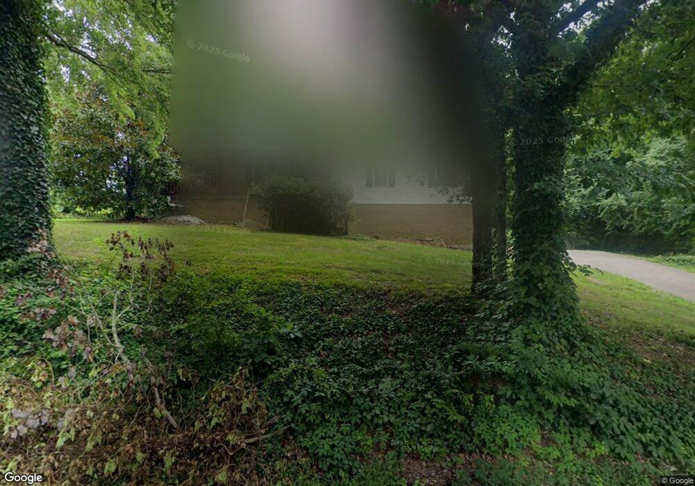
1250 Spencer Ave Signal Mountain, TN 37377
Walden NeighborhoodEstimated Value: $425,934 - $509,000
3
Beds
2
Baths
2,094
Sq Ft
$217/Sq Ft
Est. Value
About This Home
This home is located at 1250 Spencer Ave, Signal Mountain, TN 37377 and is currently estimated at $453,734, approximately $216 per square foot. 1250 Spencer Ave is a home located in Hamilton County with nearby schools including Nolan Elementary School, Signal Mountain Middle/High School, and Signal Mountain Christian School.
Ownership History
Date
Name
Owned For
Owner Type
Purchase Details
Closed on
Nov 9, 2018
Sold by
Demars Ann Andrews and Demars Eric Steven
Bought by
Mccromick Richard B
Current Estimated Value
Home Financials for this Owner
Home Financials are based on the most recent Mortgage that was taken out on this home.
Original Mortgage
$233,348
Outstanding Balance
$204,763
Interest Rate
4.7%
Mortgage Type
VA
Estimated Equity
$248,971
Purchase Details
Closed on
May 8, 2008
Sold by
Warren Kathryn and Warren Lee
Bought by
Robertson Jonathan David and Robertson Kristin W
Home Financials for this Owner
Home Financials are based on the most recent Mortgage that was taken out on this home.
Original Mortgage
$199,516
Interest Rate
5.82%
Mortgage Type
Purchase Money Mortgage
Purchase Details
Closed on
Nov 1, 2005
Sold by
Dering Robert S and Dering Karin L
Bought by
Warren Lee and Warren Kathryn
Home Financials for this Owner
Home Financials are based on the most recent Mortgage that was taken out on this home.
Original Mortgage
$140,400
Interest Rate
5.76%
Mortgage Type
Fannie Mae Freddie Mac
Purchase Details
Closed on
Jul 20, 2001
Sold by
Laughlin Daniel J and Brenton Teresa L
Bought by
Dering Robert S and Dering Karin L
Home Financials for this Owner
Home Financials are based on the most recent Mortgage that was taken out on this home.
Original Mortgage
$108,800
Interest Rate
6.71%
Purchase Details
Closed on
Apr 22, 1998
Sold by
Burns Jack T and Burns Carol G
Bought by
Laughlin Daniel J and Brenton Teresa L
Home Financials for this Owner
Home Financials are based on the most recent Mortgage that was taken out on this home.
Original Mortgage
$116,850
Interest Rate
7.09%
Purchase Details
Closed on
Jul 3, 1996
Sold by
Burns Construction Co Inc
Bought by
Burns Jack T and Burns Carol G
Home Financials for this Owner
Home Financials are based on the most recent Mortgage that was taken out on this home.
Original Mortgage
$80,250
Interest Rate
7.99%
Mortgage Type
Construction
Create a Home Valuation Report for This Property
The Home Valuation Report is an in-depth analysis detailing your home's value as well as a comparison with similar homes in the area
Home Values in the Area
Average Home Value in this Area
Purchase History
| Date | Buyer | Sale Price | Title Company |
|---|---|---|---|
| Mccromick Richard B | $242,000 | Foundation Title & Escrow Ch | |
| Robertson Jonathan David | $206,000 | None Available | |
| Warren Lee | $175,500 | -- | |
| Dering Robert S | $136,000 | -- | |
| Laughlin Daniel J | $123,000 | -- | |
| Burns Jack T | -- | -- |
Source: Public Records
Mortgage History
| Date | Status | Borrower | Loan Amount |
|---|---|---|---|
| Open | Mccromick Richard B | $233,348 | |
| Previous Owner | Robertson Jonathan David | $199,516 | |
| Previous Owner | Warren Lee | $140,400 | |
| Previous Owner | Dering Robert S | $108,800 | |
| Previous Owner | Laughlin Daniel J | $116,850 | |
| Previous Owner | Burns Jack T | $80,250 | |
| Closed | Warren Lee | $17,550 |
Source: Public Records
Tax History Compared to Growth
Tax History
| Year | Tax Paid | Tax Assessment Tax Assessment Total Assessment is a certain percentage of the fair market value that is determined by local assessors to be the total taxable value of land and additions on the property. | Land | Improvement |
|---|---|---|---|---|
| 2024 | $1,394 | $62,325 | $0 | $0 |
| 2023 | $1,726 | $62,325 | $0 | $0 |
| 2022 | $1,726 | $62,325 | $0 | $0 |
| 2021 | $1,726 | $62,325 | $0 | $0 |
| 2020 | $1,968 | $58,375 | $0 | $0 |
| 2019 | $1,909 | $58,375 | $0 | $0 |
| 2018 | $1,851 | $58,375 | $0 | $0 |
| 2017 | $1,839 | $58,375 | $0 | $0 |
| 2016 | $1,611 | $0 | $0 | $0 |
| 2015 | $1,611 | $50,450 | $0 | $0 |
| 2014 | $1,611 | $0 | $0 | $0 |
Source: Public Records
Map
Nearby Homes
- 2804 Taft Hwy
- 3680 Wilson Ave
- 914 Olsen Ave
- 3002 Wilson Ave
- 2598 Bristlecone Ln
- 2929 Battles Way
- 1713 Timesville Rd
- 3612 Taft Hwy
- 25 Ridgerock Dr
- 848 Skyline Park Dr
- 1801 Hollister Rd
- 0 Skyline Park Dr Unit 1525124
- 11 Saint Nicholas Way
- 3903 Anderson Pike
- 837 Skyline Park Dr
- 2416 Mourning Dove Ln
- 1702 James Blvd
- 5025 Dandelion Trail
- 3572 Sweetshrub Way
- 2105 Fairmount Rd W
- 1141 Lyness Ave
- 1300 Spencer Ave Unit 1
- 1300 Spencer Ave
- 1302 Spencer Ave
- 1083 Lyness Ave
- 1083 Lyness Ave
- 1138 Lyness Ave
- 1163 Lyness Ave
- 1126 Lyness Ave
- 1204 Spencer Ave
- 1207 Spencer Ave
- 1167 Lyness Ave
- 1164 Lyness Ave
- 1303 Spencer Ave
- 1605 Devlan Forest Ln
- 1110 Lyness Ave
- 1110 Lyness Ave Unit 40 & 41
- 1015 Smith Spring St
- 1071 Lyness Ave
- 1607 Devlan Forest Ln