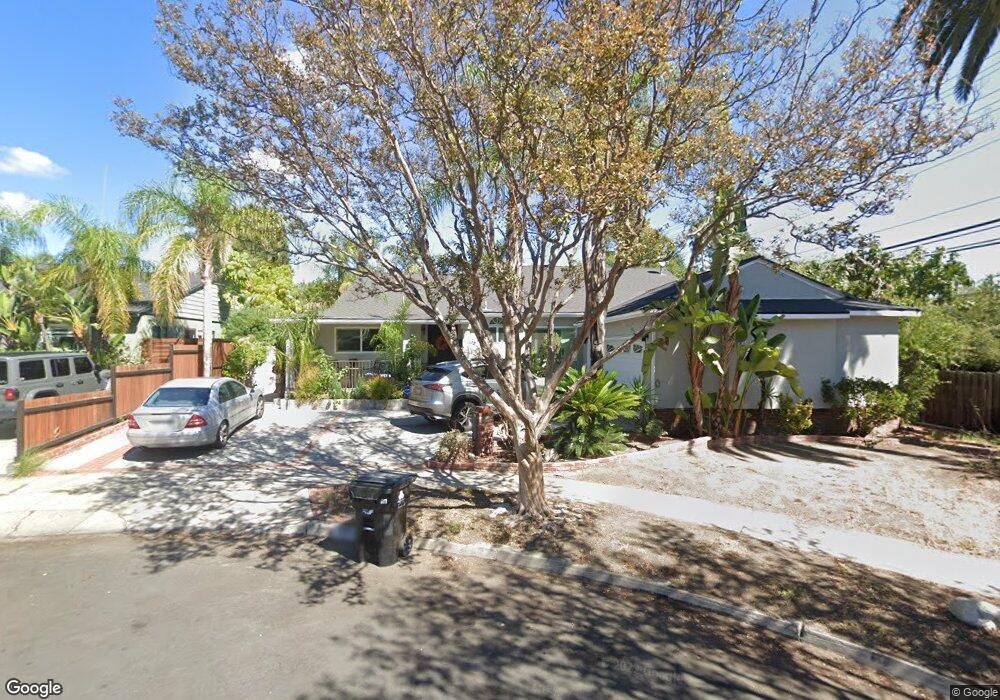
12503 Landale St Studio City, CA 91604
Estimated Value: $1,646,787 - $2,354,000
4
Beds
3
Baths
2,300
Sq Ft
$900/Sq Ft
Est. Value
About This Home
This home is located at 12503 Landale St, Studio City, CA 91604 and is currently estimated at $2,070,697, approximately $900 per square foot. 12503 Landale St is a home located in Los Angeles County with nearby schools including Ulysses S. Grant Senior High School, Riverside Drive Charter Elementary School, and Louis D. Armstrong Middle School.
Ownership History
Date
Name
Owned For
Owner Type
Purchase Details
Closed on
Jul 2, 2018
Sold by
Keshishian Leony G and Keshishian Leony
Bought by
Keshishian Leony G and Keshishian Trust
Current Estimated Value
Purchase Details
Closed on
Dec 30, 2002
Sold by
Keshishian Vahik and Keshishian Leony
Bought by
Keshishian Leony
Home Financials for this Owner
Home Financials are based on the most recent Mortgage that was taken out on this home.
Original Mortgage
$255,000
Interest Rate
5.62%
Create a Home Valuation Report for This Property
The Home Valuation Report is an in-depth analysis detailing your home's value as well as a comparison with similar homes in the area
Home Values in the Area
Average Home Value in this Area
Purchase History
| Date | Buyer | Sale Price | Title Company |
|---|---|---|---|
| Keshishian Leony G | -- | None Available | |
| Keshishian Leony | -- | American Coast Title Company | |
| Keshishian Leony | -- | American Coast Title Company |
Source: Public Records
Mortgage History
| Date | Status | Borrower | Loan Amount |
|---|---|---|---|
| Closed | Keshishian Leony | $255,000 |
Source: Public Records
Tax History Compared to Growth
Tax History
| Year | Tax Paid | Tax Assessment Tax Assessment Total Assessment is a certain percentage of the fair market value that is determined by local assessors to be the total taxable value of land and additions on the property. | Land | Improvement |
|---|---|---|---|---|
| 2025 | $3,744 | $289,582 | $117,302 | $172,280 |
| 2024 | $3,744 | $283,904 | $115,002 | $168,902 |
| 2023 | $3,677 | $278,339 | $112,748 | $165,591 |
| 2022 | $3,514 | $272,883 | $110,538 | $162,345 |
| 2021 | $3,460 | $267,533 | $108,371 | $159,162 |
| 2019 | $3,360 | $259,599 | $105,157 | $154,442 |
| 2018 | $3,275 | $254,510 | $103,096 | $151,414 |
| 2016 | $3,108 | $244,630 | $99,094 | $145,536 |
| 2015 | $3,065 | $240,956 | $97,606 | $143,350 |
| 2014 | $3,082 | $236,237 | $95,695 | $140,542 |
Source: Public Records
Map
Nearby Homes
- 12420 Milbank St
- 12504 Kling St
- 4424 Whitsett Ave Unit 309
- 4425 Whitsett Ave Unit 210
- 12449 Kling St Unit PH2
- 4640 Laurelgrove Ave
- 12603 Moorpark St Unit 304
- 12416 Moorpark St Unit A
- 4328 Wilkinson Ave
- 4326 Babcock Ave Unit 305
- 12701 Kling St
- 12406 La Maida St
- 4314 Teesdale Ave
- 12504 Woodbridge St Unit 303
- 4829 Whitsett Ave Unit 301
- 4239 Rhodes Ave
- 4609 Goodland Ave
- 4230 Whitsett Ave Unit 10
- 4230 Whitsett Ave Unit 9
- 4230 Whitsett Ave Unit 6
- 4525 Whitsett Ave
- 4525 Whitsett Ave Unit 215
- 12509 Landale St
- 12502 Milbank St
- 12515 Landale St
- 12508 Milbank St
- 12502 Landale St
- 12508 Landale St
- 4518 Whitsett Ave
- 12523 Landale St
- 4510 Whitsett Ave
- 12522 Milbank St
- 12514 Landale St
- 4530 Whitsett Ave Unit 2
- 4530 Whitsett Ave
- 12522 Landale St
- 4500 Whitsett Ave Unit 7
- 4500 Whitsett Ave Unit 6
- 4500 Whitsett Ave Unit 4