12505 10th St NE Spicer, MN 56288
Estimated Value: $416,000 - $561,000
--
Bed
--
Bath
--
Sq Ft
9.26
Acres
About This Home
This home is located at 12505 10th St NE, Spicer, MN 56288 and is currently estimated at $476,535. 12505 10th St NE is a home located in Kandiyohi County with nearby schools including Prairie Woods Elementary School, New London-Spicer Middle School, and New London-Spicer Senior High School.
Ownership History
Date
Name
Owned For
Owner Type
Purchase Details
Closed on
May 31, 2005
Sold by
Ardoft Aaron G and Ardoff Tonia M
Bought by
Anderson Michael J and Anderson Kimberly M
Current Estimated Value
Home Financials for this Owner
Home Financials are based on the most recent Mortgage that was taken out on this home.
Original Mortgage
$190,000
Outstanding Balance
$100,147
Interest Rate
5.91%
Mortgage Type
New Conventional
Estimated Equity
$376,388
Create a Home Valuation Report for This Property
The Home Valuation Report is an in-depth analysis detailing your home's value as well as a comparison with similar homes in the area
Home Values in the Area
Average Home Value in this Area
Purchase History
| Date | Buyer | Sale Price | Title Company |
|---|---|---|---|
| Anderson Michael J | $260,000 | None Available |
Source: Public Records
Mortgage History
| Date | Status | Borrower | Loan Amount |
|---|---|---|---|
| Open | Anderson Michael J | $190,000 |
Source: Public Records
Tax History Compared to Growth
Tax History
| Year | Tax Paid | Tax Assessment Tax Assessment Total Assessment is a certain percentage of the fair market value that is determined by local assessors to be the total taxable value of land and additions on the property. | Land | Improvement |
|---|---|---|---|---|
| 2025 | $3,526 | $370,800 | $80,500 | $290,300 |
| 2024 | $3,036 | $355,800 | $69,600 | $286,200 |
| 2023 | $2,802 | $307,500 | $68,700 | $238,800 |
| 2022 | $2,836 | $289,700 | $61,700 | $228,000 |
| 2021 | $2,286 | $253,700 | $55,400 | $198,300 |
| 2020 | $2,248 | $227,800 | $55,100 | $172,700 |
| 2019 | $2,268 | $222,100 | $53,100 | $169,000 |
| 2018 | $2,186 | $220,300 | $53,100 | $167,200 |
| 2017 | $2,212 | $215,700 | $53,100 | $162,600 |
| 2016 | $2,200 | $1,979 | $0 | $0 |
| 2015 | -- | $0 | $0 | $0 |
| 2014 | -- | $0 | $0 | $0 |
Source: Public Records
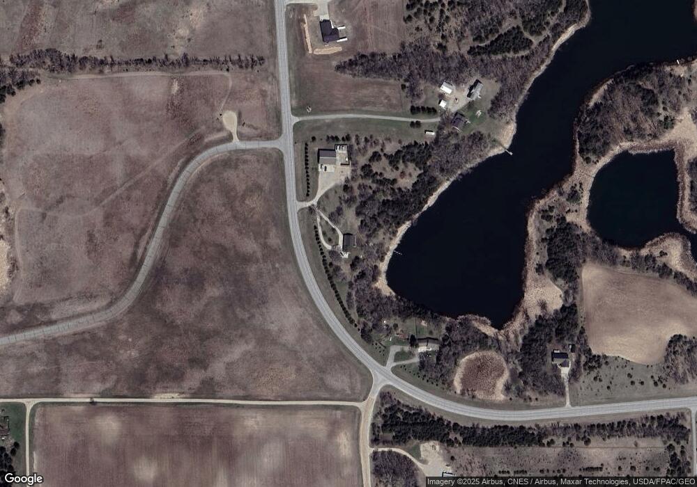
Map
Nearby Homes
- 311 131st Ave NE
- 13112 2nd St NE
- 1245 137th Ave NW
- 10957 Highway 71 NE
- 4316 133rd Ave NE
- 4808 132nd Ave NE Unit 25
- 5078 132nd Ave NE
- 4539 141st Ave NE
- 5288 132nd Ave NE Unit C7
- 5288 (R22) 53rd St NE
- 5288 (R24) 53rd St NE
- 5272 (R26) 53rd St NE
- 5288 (R19) 53rd St NE
- 13205 (R17) 53rd St NE
- 5288 (R23) 53rd St NE
- 7641 Long Lake Rd
- 3091 77th Ave NE
- 6844 140th Ave NE
- TBD Highway 71 NE
- 6911 Highway 71 NE
- 12721 10th St NE
- 12895 10th St NE
- 1104 122nd Ave NE
- 12190 11th St NE
- 1306 122nd Ave NE
- 13055 10th St NE
- 1450 122nd Ave NE
- 12901 10th St NE
- 16502 10th St NE
- 688 131st Ave NE
- 1818 122nd Ave NE
- 502 131st Ave NE
- 430 131st Ave NE
- 1911 122nd Ave NE
- 1902 122nd Ave NE
- xxx 122nd Ave NE
- 1413 122nd Ave NE
- - NE 11 St
- - 11th St NE
- 12176 21st St NE