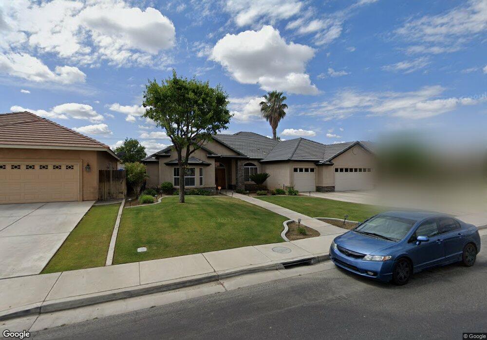
12507 Lanai Ave Bakersfield, CA 93312
Fox Run NeighborhoodEstimated Value: $535,000 - $579,000
About This Home
This home is located at 12507 Lanai Ave, Bakersfield, CA 93312 and is currently estimated at $563,793, approximately $216 per square foot. 12507 Lanai Ave is a home located in Kern County with nearby schools including Patriot Elementary School, Freedom Middle School, and Frontier High School.
Ownership History
We collect this data history from publicly available records. To have your information removed, we recommend requesting removal directly through your county’s website.
Purchase Details
Purchase Details
Home Financials for this Owner
Home Financials are based on the most recent Mortgage that was taken out on this home.Home Values in the Area
Average Home Value in this Area
Purchase History
We collect this data history from publicly available records. To have your information removed, we recommend requesting removal directly through your county’s website.
| Date | Buyer | Sale Price | Title Company |
|---|---|---|---|
| $164,000 | -- | ||
| $465,500 | Stewart Title Of Ca Inc |
Mortgage History
We collect this data history from publicly available records. To have your information removed, we recommend requesting removal directly through your county’s website.
| Date | Status | Borrower | Loan Amount |
|---|---|---|---|
| Previous Owner | $372,315 |
Tax History
We collect this data history from publicly available records. To have your information removed, we recommend requesting removal directly through your county’s website.
| Year | Tax Paid | Tax Assessment Tax Assessment Total Assessment is a certain percentage of the fair market value that is determined by local assessors to be the total taxable value of land and additions on the property. | Land | Improvement |
|---|---|---|---|---|
| 2025 | $6,498 | $507,000 | $127,000 | $380,000 |
| 2024 | $6,747 | $521,000 | $130,000 | $391,000 |
| 2023 | $6,747 | $546,000 | $137,000 | $409,000 |
| 2022 | $5,732 | $453,000 | $113,000 | $340,000 |
| 2021 | $4,985 | $390,000 | $98,000 | $292,000 |
| 2020 | $4,732 | $369,000 | $92,000 | $277,000 |
| 2019 | $4,585 | $355,000 | $89,000 | $266,000 |
| 2018 | $4,444 | $345,000 | $86,000 | $259,000 |
| 2017 | $4,407 | $340,000 | $85,000 | $255,000 |
| 2016 | $4,227 | $342,000 | $86,000 | $256,000 |
| 2015 | $4,223 | $341,000 | $85,000 | $256,000 |
| 2014 | $4,237 | $344,000 | $86,000 | $258,000 |
Map
- 12813 Hawaii Ln
- 12208 Zion Ct
- 12420 Mauna Loa Ave Unit B
- 12413 Colorado Ave
- 12619 Sawtooth Ave
- 12403 Childress St
- 12610 Childress St
- 13208 Cheyenne Mountain Dr
- 12413 Jacksonville Ave
- 12902 Morning Song St
- 12910 Morning Song St
- 12914 Morning Song St
- 13212 Jackson Lake Dr Unit 3
- 13317 Boyd Lake Dr
- 0 Rosedale Unit 202511650
- 13402 Boyd Lake Dr
- 11904 Kenseth St
- 12420 Paddock Place
- 11613 Presidential Rd
- 55 Allen Rd
- 12511 Lanai Ave
- 12503 Lanai Ave
- 12601 Lanai Ave
- 5100 Maui Dr
- 5103 Wailea Dr
- 4919 Smokey Mountain Way
- 4912 Rushmore Dr
- 12605 Lanai Ave
- 5104 Maui Dr
- 5000 Wailea Dr
- 4915 Smokey Mountain Way
- 5004 Wailea Dr
- 5111 Wailea Dr
- 12600 Lanai Ave
- 4917 Rushmore Dr
- 4908 Rushmore Dr
- 5102 Wailea Dr
- 4918 Smokey Mountain Way
- 12609 Lanai Ave
- 5108 Maui Dr
Ask me questions while you tour the home.