1251 Highway 15 Brownton, MN 55312
Estimated Value: $312,000 - $348,000
2
Beds
2
Baths
2,396
Sq Ft
$135/Sq Ft
Est. Value
About This Home
This home is located at 1251 Highway 15, Brownton, MN 55312 and is currently estimated at $324,558, approximately $135 per square foot. 1251 Highway 15 is a home located in McLeod County with nearby schools including GFW Elementary School (PreK-5th Grade), GFW Intermediate School (Grade 4-6), and G.F.W. Sr..
Ownership History
Date
Name
Owned For
Owner Type
Purchase Details
Closed on
Jul 9, 2021
Sold by
Duering Merline R and Duering Raymond D
Bought by
Pierson Alyson and Pierson Michael
Current Estimated Value
Home Financials for this Owner
Home Financials are based on the most recent Mortgage that was taken out on this home.
Original Mortgage
$261,569
Outstanding Balance
$237,442
Interest Rate
2.93%
Mortgage Type
New Conventional
Estimated Equity
$87,116
Create a Home Valuation Report for This Property
The Home Valuation Report is an in-depth analysis detailing your home's value as well as a comparison with similar homes in the area
Home Values in the Area
Average Home Value in this Area
Purchase History
| Date | Buyer | Sale Price | Title Company |
|---|---|---|---|
| Pierson Alyson | $277,070 | North American Title Co | |
| Pierson Alyson Alyson | $277,100 | -- |
Source: Public Records
Mortgage History
| Date | Status | Borrower | Loan Amount |
|---|---|---|---|
| Open | Pierson Alyson | $261,569 | |
| Closed | Pierson Alyson Alyson | $10,000 |
Source: Public Records
Tax History Compared to Growth
Tax History
| Year | Tax Paid | Tax Assessment Tax Assessment Total Assessment is a certain percentage of the fair market value that is determined by local assessors to be the total taxable value of land and additions on the property. | Land | Improvement |
|---|---|---|---|---|
| 2024 | $1,998 | $242,800 | $87,400 | $155,400 |
| 2023 | $2,178 | $242,800 | $87,400 | $155,400 |
| 2022 | $1,736 | $241,600 | $87,400 | $154,200 |
| 2021 | $1,796 | $178,400 | $67,200 | $111,200 |
| 2020 | $1,234 | $178,400 | $67,200 | $111,200 |
| 2019 | $1,092 | $154,900 | $61,100 | $93,800 |
| 2018 | $1,100 | $0 | $0 | $0 |
| 2017 | $966 | $0 | $0 | $0 |
| 2016 | $1,028 | $0 | $0 | $0 |
| 2015 | $1,004 | $0 | $0 | $0 |
| 2014 | -- | $0 | $0 | $0 |
Source: Public Records
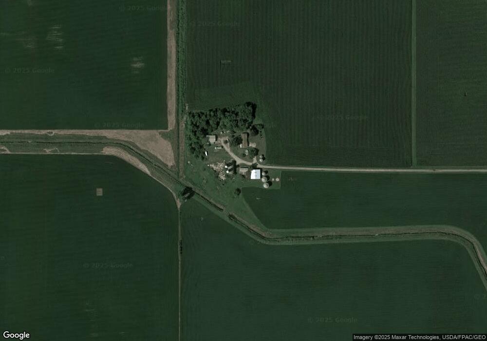
Map
Nearby Homes
- Lot 1 Minnesota 15
- xx Lot 1 Minnesota 15
- 905 N Carver St
- 805 N Renville St
- 202 W 8th St
- 801 N Carver St
- 705 Carver St N
- 609 E 8th St
- 706 Highland Dr
- 307 W 4th St
- XXX US Hwy 212
- xxx Lot 2 Us Hwy 212
- 305 W 3rd St
- 210 N Renville St
- Lot 2 U S Highway 212
- N Renville St
- 7612 Plum Ave
- 302 S Renville St
- 221 3rd Ave S
- 122 2nd Ave S
- 1345 Tagus Ave
- 1345 Tagus Ave
- 19625 19625 10th St
- 19625 10th St
- 1693 Highway 15
- 19589 20th St
- 19589 20th St
- 22310 State Highway 15
- 1504 Highway 15
- 1504 Highway 15
- 1504 Highway 15
- 1504 Highway 15
- 20224 10th St
- 18623 10th St
- 18623 10th St
- 1763 Tagus Ave
- 1763 Tagus Ave
- 1763 Tagus Ave
- 1763 Tagus Ave
- 1763 Tagus Ave