1251 M 1/4 Rd Loma, CO 81524
Loma NeighborhoodEstimated Value: $654,000 - $992,000
3
Beds
2
Baths
1,848
Sq Ft
$430/Sq Ft
Est. Value
About This Home
This home is located at 1251 M 1/4 Rd, Loma, CO 81524 and is currently estimated at $793,908, approximately $429 per square foot. 1251 M 1/4 Rd is a home located in Mesa County with nearby schools including Loma Elementary School, Fruita Middle School, and Fruita 8/9 School.
Ownership History
Date
Name
Owned For
Owner Type
Purchase Details
Closed on
Jun 20, 2003
Sold by
Seeley Herbert I and Seeley Denean
Bought by
Widhammer Daniel and Widhammer Tammie
Current Estimated Value
Home Financials for this Owner
Home Financials are based on the most recent Mortgage that was taken out on this home.
Original Mortgage
$295,050
Outstanding Balance
$127,181
Interest Rate
5.56%
Mortgage Type
Unknown
Estimated Equity
$666,727
Purchase Details
Closed on
Sep 15, 1993
Sold by
Cardin Jeffrey R
Bought by
Seeley Denean and Seeley Herbert I
Home Financials for this Owner
Home Financials are based on the most recent Mortgage that was taken out on this home.
Original Mortgage
$110,000
Interest Rate
7.19%
Mortgage Type
Construction
Purchase Details
Closed on
Apr 14, 1989
Sold by
Dabbs Gerald G
Bought by
Widhammer Tammie
Create a Home Valuation Report for This Property
The Home Valuation Report is an in-depth analysis detailing your home's value as well as a comparison with similar homes in the area
Home Values in the Area
Average Home Value in this Area
Purchase History
| Date | Buyer | Sale Price | Title Company |
|---|---|---|---|
| Widhammer Daniel | $310,600 | First American Heritage Titl | |
| Seeley Denean | $40,000 | Abstract & Title Company | |
| Widhammer Tammie | $40,000 | -- | |
| Seeley Denean | $40,000 | Abstract & Title Company | |
| Widhammer Tammie | $23,500 | -- |
Source: Public Records
Mortgage History
| Date | Status | Borrower | Loan Amount |
|---|---|---|---|
| Open | Widhammer Daniel | $295,050 | |
| Previous Owner | Seeley Denean | $110,000 |
Source: Public Records
Tax History Compared to Growth
Tax History
| Year | Tax Paid | Tax Assessment Tax Assessment Total Assessment is a certain percentage of the fair market value that is determined by local assessors to be the total taxable value of land and additions on the property. | Land | Improvement |
|---|---|---|---|---|
| 2024 | $1,369 | $19,600 | $4,220 | $15,380 |
| 2023 | $1,369 | $19,600 | $4,220 | $15,380 |
| 2022 | $1,580 | $22,260 | $3,690 | $18,570 |
| 2021 | $1,606 | $23,210 | $4,050 | $19,160 |
| 2020 | $1,017 | $15,040 | $2,790 | $12,250 |
| 2019 | $959 | $15,040 | $2,790 | $12,250 |
| 2018 | $1,367 | $19,500 | $2,870 | $16,630 |
| 2017 | $1,304 | $19,500 | $2,870 | $16,630 |
| 2016 | $1,019 | $17,260 | $2,060 | $15,200 |
| 2015 | $1,033 | $17,260 | $2,060 | $15,200 |
| 2014 | $1,077 | $18,140 | $2,310 | $15,830 |
Source: Public Records
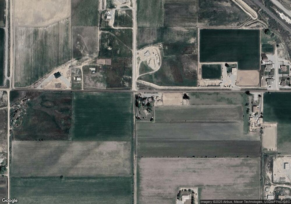
Map
Nearby Homes
- 1234 M 1 4 Rd
- 1234 M 1/4 Rd
- 0 M 1 4 Rd Unit 3058303
- 0 M 1 4 Rd Unit 898753
- 0 M 1 4 Rd
- 1232 M 1 4 Rd
- 1240 M 1/4 Rd
- 1240 M 1 4 Rd
- 1270 M 1 4 Rd
- 1270 M 1/4 Rd
- 1275 M 1/4 Rd
- 1262 M 1 4 Rd
- 1251 M Rd
- 1327 Campfire Ct
- 1327 Gunsmoke Ct
- 1331 Gunsmoke Ct
- 1331 Campfire Ct
- 1320 12 1/4 Rd
- 1326 Gunsmoke Ct
- 1330 Gunsmoke Ct