1251 New Braintree Rd Oakham, MA 01068
Estimated Value: $449,000 - $717,000
3
Beds
2
Baths
1,782
Sq Ft
$305/Sq Ft
Est. Value
About This Home
This home is located at 1251 New Braintree Rd, Oakham, MA 01068 and is currently estimated at $543,620, approximately $305 per square foot. 1251 New Braintree Rd is a home located in Worcester County with nearby schools including Quabbin Regional Middle School and Quabbin Regional High School.
Ownership History
Date
Name
Owned For
Owner Type
Purchase Details
Closed on
Apr 22, 2024
Sold by
Zack Paul F and Zack Kathleen I
Bought by
Zack Legacy Wealth T and Zack
Current Estimated Value
Purchase Details
Closed on
Apr 2, 2024
Sold by
Zack Paul F and Zack Kathleen I
Bought by
Zack Legacy Wealth T and Zack
Create a Home Valuation Report for This Property
The Home Valuation Report is an in-depth analysis detailing your home's value as well as a comparison with similar homes in the area
Home Values in the Area
Average Home Value in this Area
Purchase History
| Date | Buyer | Sale Price | Title Company |
|---|---|---|---|
| Zack Legacy Wealth T | -- | None Available | |
| Zack Legacy Wealth T | -- | None Available | |
| Zack Legacy Wealth T | -- | None Available | |
| Zack Legacy Wealth T | -- | None Available | |
| Zack Legacy Wealth T | -- | None Available |
Source: Public Records
Tax History Compared to Growth
Tax History
| Year | Tax Paid | Tax Assessment Tax Assessment Total Assessment is a certain percentage of the fair market value that is determined by local assessors to be the total taxable value of land and additions on the property. | Land | Improvement |
|---|---|---|---|---|
| 2025 | $4,801 | $415,700 | $142,100 | $273,600 |
| 2024 | $4,531 | $408,900 | $139,500 | $269,400 |
| 2023 | $4,229 | $365,500 | $123,700 | $241,800 |
| 2022 | $4,298 | $337,900 | $109,000 | $228,900 |
| 2021 | $4,146 | $318,400 | $106,200 | $212,200 |
| 2020 | $3,729 | $275,200 | $105,200 | $170,000 |
| 2019 | $3,857 | $265,800 | $99,900 | $165,900 |
| 2018 | $3,738 | $245,900 | $88,300 | $157,600 |
| 2017 | $3,504 | $245,900 | $88,300 | $157,600 |
| 2016 | $3,450 | $248,200 | $81,300 | $166,900 |
| 2015 | $3,395 | $248,200 | $81,300 | $166,900 |
| 2014 | $3,217 | $248,200 | $81,300 | $166,900 |
Source: Public Records
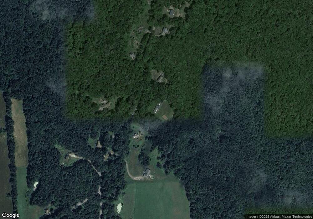
Map
Nearby Homes
- 1241 New Braintree Rd
- 1287 New Braintree Rd
- 1298 New Braintree Rd
- 1228 New Braintree Rd
- 1675 Oakham Rd
- 1670 Oakham Rd
- 1205 New Braintree Rd
- 1202 New Braintree Rd
- 1177 New Braintree Rd
- 1543 New Braintree Rd
- 1177 & 0 New Braintree Rd
- 1659 Oakham Rd
- 1140 New Braintree Rd
- 1575 Oakham Rd
- 224 Adams Rd
- 1089 New Braintree Rd
- 1045 New Braintree Rd
- 1074 New Braintree Rd
- 201 Adams Rd
- 1455 Oakham Rd