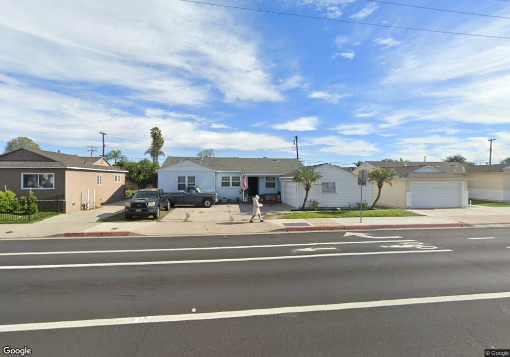
12512 West St Garden Grove, CA 92840
Estimated Value: $928,206 - $1,074,000
4
Beds
2
Baths
1,198
Sq Ft
$818/Sq Ft
Est. Value
About This Home
This home is located at 12512 West St, Garden Grove, CA 92840 and is currently estimated at $980,302, approximately $818 per square foot. 12512 West St is a home located in Orange County with nearby schools including Violette Elementary School, Izaak Walton Intermediate School, and Santiago High School.
Ownership History
Date
Name
Owned For
Owner Type
Purchase Details
Closed on
May 25, 2017
Sold by
Asch Darrell Dean
Bought by
Bronson Robert J and Mailhot Julianna
Current Estimated Value
Home Financials for this Owner
Home Financials are based on the most recent Mortgage that was taken out on this home.
Original Mortgage
$490,943
Outstanding Balance
$409,948
Interest Rate
4.25%
Mortgage Type
FHA
Estimated Equity
$570,354
Create a Home Valuation Report for This Property
The Home Valuation Report is an in-depth analysis detailing your home's value as well as a comparison with similar homes in the area
Home Values in the Area
Average Home Value in this Area
Purchase History
| Date | Buyer | Sale Price | Title Company |
|---|---|---|---|
| Bronson Robert J | $500,000 | Fidelity National Title |
Source: Public Records
Mortgage History
| Date | Status | Borrower | Loan Amount |
|---|---|---|---|
| Open | Bronson Robert J | $490,943 |
Source: Public Records
Tax History Compared to Growth
Tax History
| Year | Tax Paid | Tax Assessment Tax Assessment Total Assessment is a certain percentage of the fair market value that is determined by local assessors to be the total taxable value of land and additions on the property. | Land | Improvement |
|---|---|---|---|---|
| 2025 | $7,140 | $580,292 | $516,397 | $63,895 |
| 2024 | $7,140 | $568,914 | $506,271 | $62,643 |
| 2023 | $7,009 | $557,759 | $496,344 | $61,415 |
| 2022 | $6,854 | $546,823 | $486,612 | $60,211 |
| 2021 | $6,757 | $536,101 | $477,070 | $59,031 |
| 2020 | $6,675 | $530,604 | $472,178 | $58,426 |
| 2019 | $6,583 | $520,200 | $462,919 | $57,281 |
| 2018 | $6,420 | $510,000 | $453,842 | $56,158 |
| 2017 | $1,100 | $58,512 | $22,005 | $36,507 |
| 2016 | $1,058 | $57,365 | $21,573 | $35,792 |
| 2015 | $962 | $56,504 | $21,249 | $35,255 |
| 2014 | $940 | $55,398 | $20,833 | $34,565 |
Source: Public Records
Map
Nearby Homes
- 12727 West St
- 12222 Emrys Ave
- 12246 Nadine Cir
- 11841 Shetland Rd
- 12861 West St Unit 157
- 12861 West St Unit 100
- 12851 Newhope St
- 12970 Newhope St
- 13052 Rockinghorse Rd
- 405 13181 Lampson
- 11731 Rose Dr
- 12621 Sweetbriar Dr
- 12225 Chapman Ave Unit 1
- 12905 Palm St
- 12691 Sweetbriar Dr
- 12842 Palm St Unit 108
- 12842 Palm St Unit 301
- 12850 Palm St Unit 6
- 13111 Rainbow St
- 11841 Debbie Ln
- 12502 West St
- 12532 West St
- 12511 Merrill St
- 12501 Merrill St
- 12531 Merrill St
- 12542 West St
- 12541 Merrill St
- 12529 West St
- 12515 West St
- 12552 West St
- 12551 Merrill St
- 12471 Merrill St
- 12462 West St
- 12555 West St
- 12512 Merrill St
- 12572 West St
- 12532 Merrill St
- 12502 Merrill St
- 11971 Lampson Ave
- 12522 Kathy Ln