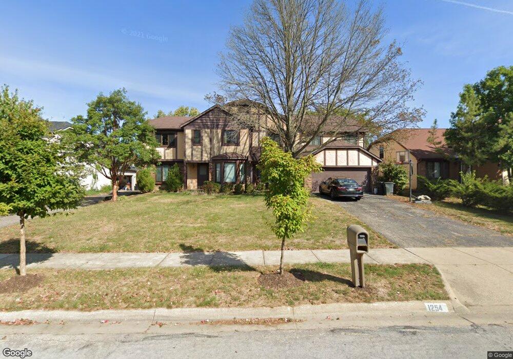
1252 Colston Dr Unit 254 Westerville, OH 43081
Estimated Value: $451,000 - $563,000
6
Beds
6
Baths
3,976
Sq Ft
$130/Sq Ft
Est. Value
About This Home
This home is located at 1252 Colston Dr Unit 254, Westerville, OH 43081 and is currently estimated at $515,575, approximately $129 per square foot. 1252 Colston Dr Unit 254 is a home located in Franklin County with nearby schools including Mcvay Elementary School, Walnut Springs Middle School, and Westerville-North High School.
Ownership History
Date
Name
Owned For
Owner Type
Purchase Details
Closed on
Oct 21, 1996
Sold by
Internicola Philip G
Bought by
Gliatas Thermistocles H and Gliatas Margaret D
Current Estimated Value
Home Financials for this Owner
Home Financials are based on the most recent Mortgage that was taken out on this home.
Original Mortgage
$165,000
Outstanding Balance
$15,839
Interest Rate
8.6%
Mortgage Type
New Conventional
Estimated Equity
$499,736
Purchase Details
Closed on
Feb 8, 1994
Purchase Details
Closed on
Sep 4, 1987
Create a Home Valuation Report for This Property
The Home Valuation Report is an in-depth analysis detailing your home's value as well as a comparison with similar homes in the area
Home Values in the Area
Average Home Value in this Area
Purchase History
| Date | Buyer | Sale Price | Title Company |
|---|---|---|---|
| Gliatas Thermistocles H | $215,900 | -- | |
| -- | $189,000 | -- | |
| -- | -- | -- |
Source: Public Records
Mortgage History
| Date | Status | Borrower | Loan Amount |
|---|---|---|---|
| Open | Gliatas Thermistocles H | $165,000 |
Source: Public Records
Tax History Compared to Growth
Tax History
| Year | Tax Paid | Tax Assessment Tax Assessment Total Assessment is a certain percentage of the fair market value that is determined by local assessors to be the total taxable value of land and additions on the property. | Land | Improvement |
|---|---|---|---|---|
| 2024 | $7,810 | $145,500 | $23,630 | $121,870 |
| 2023 | $7,682 | $145,500 | $23,630 | $121,870 |
| 2022 | $7,960 | $116,590 | $21,420 | $95,170 |
| 2021 | $8,026 | $116,590 | $21,420 | $95,170 |
| 2020 | $8,004 | $116,590 | $21,420 | $95,170 |
| 2019 | $6,960 | $97,160 | $17,850 | $79,310 |
| 2018 | $6,590 | $97,160 | $17,850 | $79,310 |
| 2017 | $6,702 | $97,160 | $17,850 | $79,310 |
| 2016 | $6,556 | $85,760 | $16,140 | $69,620 |
| 2015 | $6,353 | $85,760 | $16,140 | $69,620 |
| 2014 | $6,358 | $85,760 | $16,140 | $69,620 |
| 2013 | $3,174 | $85,750 | $16,135 | $69,615 |
Source: Public Records
Map
Nearby Homes
- 806 Watten Ln
- 5769 Burntwood Way
- 6506 Purplefinch Ct
- 4432 Scissortail Loop
- 6352 Hibiscus Ct
- 4765 Smoketalk Ln Unit 1
- 4758 Crazy Horse Ln Unit 2
- 737 Autumn Branch Rd
- 750 Autumn Branch Rd
- 4755 Crazy Horse Ln Unit 6
- 4786 Crazy Horse Ln Unit 2
- 6360 Thrasher Loop
- 4816 Crazy Horse Ln Unit 4
- 640 Brook Run Dr
- 994 Autumn Lake Ct
- 4892 Clearfork Ln Unit 8
- 1209 Chatham Ridge Rd
- 4981 Smoketalk Ln
- 4936 Wintersong Ln Unit 4
- 4775 Powderhorn Ln Unit 3
- 1242 Colston Dr Unit 244
- 1244 Colston Dr
- 1260 Colston Dr Unit 262
- 1260-1262 Colston Dr
- 1234 Colston Dr Unit 236
- 1268 Colston Dr
- 1249 Colston Dr
- 1257 Colston Dr
- 1226 Colston Dr Unit 228
- 1179 S Sunbury Rd
- 1241 Colston Dr
- 1265 Colston Dr
- 1233 Colston Dr
- 1214 Colston Dr Unit 216
- 1225 Colston Dr
- 1213 Colston Dr
- 1206 Colston Dr Unit 208
- 1218 Norway Ln
- 1207 Colston Dr
- 1226 Norway Ln