1252 Lewis Branch Rd Tennessee Ridge, TN 37178
Estimated Value: $237,000 - $406,000
--
Bed
1
Bath
942
Sq Ft
$315/Sq Ft
Est. Value
About This Home
This home is located at 1252 Lewis Branch Rd, Tennessee Ridge, TN 37178 and is currently estimated at $296,983, approximately $315 per square foot. 1252 Lewis Branch Rd is a home located in Houston County.
Ownership History
Date
Name
Owned For
Owner Type
Purchase Details
Closed on
Oct 10, 2008
Sold by
Nardine Alfred L
Bought by
Bean Richard J
Current Estimated Value
Home Financials for this Owner
Home Financials are based on the most recent Mortgage that was taken out on this home.
Original Mortgage
$125,000
Interest Rate
5.96%
Mortgage Type
Cash
Purchase Details
Closed on
Sep 3, 1999
Bought by
Nardine Alfred L Jr Nardine Richard
Purchase Details
Closed on
Jul 18, 1977
Bought by
Bowers James and Bowers Sandra
Purchase Details
Closed on
Jan 1, 1974
Create a Home Valuation Report for This Property
The Home Valuation Report is an in-depth analysis detailing your home's value as well as a comparison with similar homes in the area
Home Values in the Area
Average Home Value in this Area
Purchase History
| Date | Buyer | Sale Price | Title Company |
|---|---|---|---|
| Bean Richard J | $155,000 | -- | |
| Nardine Alfred L Jr Nardine Richard | $64,000 | -- | |
| Bowers James | -- | -- | |
| -- | $11,200 | -- |
Source: Public Records
Mortgage History
| Date | Status | Borrower | Loan Amount |
|---|---|---|---|
| Closed | Not Available | $125,000 |
Source: Public Records
Tax History Compared to Growth
Tax History
| Year | Tax Paid | Tax Assessment Tax Assessment Total Assessment is a certain percentage of the fair market value that is determined by local assessors to be the total taxable value of land and additions on the property. | Land | Improvement |
|---|---|---|---|---|
| 2024 | $527 | $29,625 | $11,900 | $17,725 |
| 2023 | $527 | $29,625 | $11,900 | $17,725 |
| 2022 | $553 | $19,775 | $9,725 | $10,050 |
| 2021 | $553 | $19,775 | $9,725 | $10,050 |
| 2020 | $524 | $19,775 | $9,725 | $10,050 |
| 2019 | $524 | $16,425 | $7,350 | $9,075 |
| 2018 | $524 | $16,425 | $7,350 | $9,075 |
| 2017 | $524 | $16,425 | $7,350 | $9,075 |
| 2016 | $524 | $16,425 | $7,350 | $9,075 |
| 2015 | $524 | $16,425 | $7,350 | $9,075 |
| 2014 | -- | $16,408 | $0 | $0 |
Source: Public Records
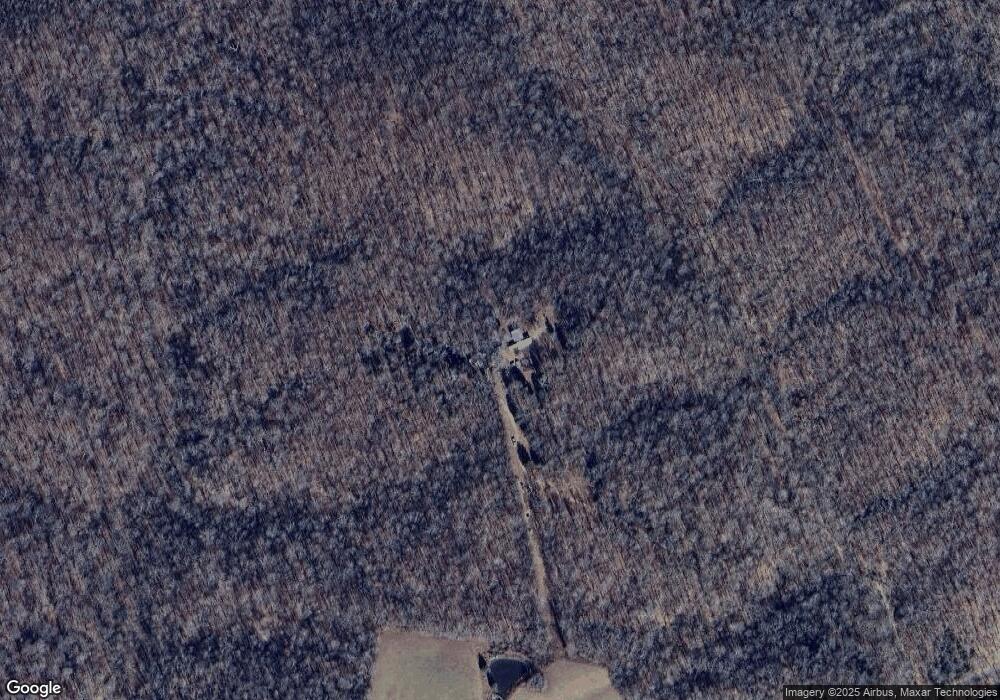
Map
Nearby Homes
- 0 Cooley Ford Rd Unit LotWP007 22557710
- 0 Cooley Ford Rd Unit RTC2974712
- 110 Peachtree St
- 155 Rolling Hills Dr
- 0 Carl Taylor Rd
- 0 Taylor St Unit RTC2764411
- 0 Taylor St Unit RTC2764420
- 0 Taylor St Unit RTC2764418
- 0 Taylor St Unit RTC2764423
- 0 Taylor St Unit RTC2764415
- 1950 Old Stewart Rd
- 0 Main St N Unit RTC2988796
- 0 Main St N Unit RTC3003416
- 0 Main St N Unit RTC2987692
- 0 Main St N Unit RTC2988794
- 0 Main St N Unit RTC2988130
- 0 Main St N Unit RTC2988128
- 0 Main St N Unit RTC2987687
- 0 Main St N Unit RTC2988129
- 0 Main St N Unit RTC2988126