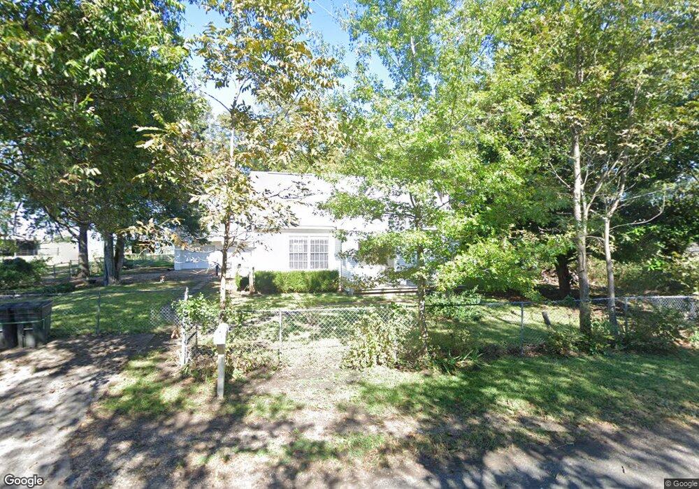
1253 Forreston Rd Waxahachie, TX 75165
Estimated Value: $586,618 - $602,000
3
Beds
3
Baths
1,950
Sq Ft
$305/Sq Ft
Est. Value
About This Home
This home is located at 1253 Forreston Rd, Waxahachie, TX 75165 and is currently estimated at $594,309, approximately $304 per square foot. 1253 Forreston Rd is a home located in Ellis County with nearby schools including Dunaway Elementary School, Eddie Finley Junior High School, and Waxahachie High School.
Ownership History
Date
Name
Owned For
Owner Type
Purchase Details
Closed on
Apr 9, 2013
Sold by
Oliver Rebecca Williams
Bought by
Franks Rebecca J
Current Estimated Value
Home Financials for this Owner
Home Financials are based on the most recent Mortgage that was taken out on this home.
Original Mortgage
$143,920
Outstanding Balance
$102,001
Interest Rate
3.56%
Mortgage Type
New Conventional
Estimated Equity
$492,308
Create a Home Valuation Report for This Property
The Home Valuation Report is an in-depth analysis detailing your home's value as well as a comparison with similar homes in the area
Home Values in the Area
Average Home Value in this Area
Purchase History
| Date | Buyer | Sale Price | Title Company |
|---|---|---|---|
| Franks Rebecca J | -- | None Available |
Source: Public Records
Mortgage History
| Date | Status | Borrower | Loan Amount |
|---|---|---|---|
| Open | Franks Rebecca J | $143,920 |
Source: Public Records
Tax History Compared to Growth
Tax History
| Year | Tax Paid | Tax Assessment Tax Assessment Total Assessment is a certain percentage of the fair market value that is determined by local assessors to be the total taxable value of land and additions on the property. | Land | Improvement |
|---|---|---|---|---|
| 2025 | $2,012 | $488,285 | -- | -- |
| 2024 | $2,012 | $210,519 | -- | -- |
| 2023 | $2,012 | $191,404 | $0 | $0 |
| 2022 | $2,390 | $174,097 | $0 | $0 |
| 2021 | $2,830 | $308,900 | $0 | $0 |
| 2020 | $2,718 | $297,060 | $0 | $0 |
| 2019 | $2,618 | $206,220 | $0 | $0 |
| 2018 | $1,974 | $174,310 | $0 | $0 |
| 2017 | $2,244 | $179,360 | $0 | $0 |
| 2016 | $2,098 | $172,230 | $0 | $0 |
| 2015 | $1,697 | $171,790 | $0 | $0 |
| 2014 | $1,697 | $171,670 | $0 | $0 |
Source: Public Records
Map
Nearby Homes
- 1302 Forreston Rd
- Lot A Holder Rd
- 470 Forreston Rd
- 2028 Forreston Rd
- 1035 Holder Rd
- 2038 Forreston Rd
- 765 Holder Rd
- TBD Rd
- 3220 Farm To Market 55
- 0 E Pecan Tree Rd
- 121.797Ac Fm-55
- 000 W Pecan Tree Rd
- 527 W Pecan Tree Rd
- TBD - Lot #8 Constantine Ct
- TBD West Rd
- 531 Wright Rd
- 528 Johnston Rd
- 735 Hight Rd
- 6882 N Interstate Highway 35 E
- TBD Wright Rd
- 1275 Forreston Rd
- 1028 Forreston Rd
- 1506 Forreston Rd
- 947 Forreston Rd
- 914 Forreston Rd
- 0000 Blair Rd
- 0 Forreston Rd
- Lot 13 Forreston Rd
- Lot 5 Forreston Rd
- Lot 6 Forreston Rd
- Lot 13 Forreston Rd
- Lot 6 Forreston Rd
- 634 Blair Rd
- TBD 10 Forreston Rd
- 6.79 AC Forreston Rd
- Lot1 Forreston Rd
- Lot2 Forreston Rd
- 000TBD Forreston Rd
- 0 TBD Forreston Rd
- 00 TBD Forreston Rd