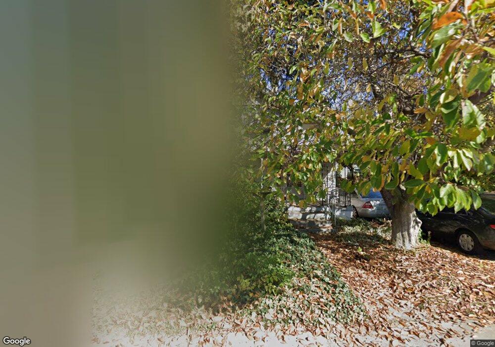
1254 Section Rd Cincinnati, OH 45237
Roselawn NeighborhoodEstimated Value: $125,632 - $217,000
3
Beds
1
Bath
1,462
Sq Ft
$119/Sq Ft
Est. Value
About This Home
This home is located at 1254 Section Rd, Cincinnati, OH 45237 and is currently estimated at $173,908, approximately $118 per square foot. 1254 Section Rd is a home located in Hamilton County with nearby schools including Roselawn Condon School, Shroder High School, and Clark Montessori High School.
Ownership History
Date
Name
Owned For
Owner Type
Purchase Details
Closed on
Aug 10, 2017
Sold by
Durant Karen and Fultz Steve
Bought by
Durant Robert L
Current Estimated Value
Purchase Details
Closed on
Aug 1, 2017
Sold by
Durant Jessica and Huntbatch Gary
Bought by
Durant Robert L
Purchase Details
Closed on
Jun 30, 2017
Sold by
Estate Of Kathleen M Dick
Bought by
Durant Karen and Durant Jessica
Purchase Details
Closed on
Nov 3, 2005
Sold by
Dick Gene H and Dick Kathleen M
Bought by
Dick Gene H and Dick Kathleen M
Create a Home Valuation Report for This Property
The Home Valuation Report is an in-depth analysis detailing your home's value as well as a comparison with similar homes in the area
Home Values in the Area
Average Home Value in this Area
Purchase History
| Date | Buyer | Sale Price | Title Company |
|---|---|---|---|
| Durant Robert L | $20,707 | None Available | |
| Durant Robert L | $20,707 | None Available | |
| Durant Karen | -- | None Available | |
| Dick Gene H | -- | None Available |
Source: Public Records
Tax History
| Year | Tax Paid | Tax Assessment Tax Assessment Total Assessment is a certain percentage of the fair market value that is determined by local assessors to be the total taxable value of land and additions on the property. | Land | Improvement |
|---|---|---|---|---|
| 2025 | $2,511 | $36,516 | $5,264 | $31,252 |
| 2023 | $2,364 | $36,516 | $5,264 | $31,252 |
| 2022 | $1,501 | $18,956 | $4,270 | $14,686 |
| 2021 | $1,466 | $18,956 | $4,270 | $14,686 |
| 2020 | $1,487 | $18,956 | $4,270 | $14,686 |
| 2019 | $1,345 | $16,065 | $3,619 | $12,446 |
| 2018 | $1,348 | $16,065 | $3,619 | $12,446 |
| 2017 | $1,351 | $16,065 | $3,619 | $12,446 |
| 2016 | $1,046 | $21,742 | $4,375 | $17,367 |
| 2015 | $966 | $21,742 | $4,375 | $17,367 |
| 2014 | $973 | $21,742 | $4,375 | $17,367 |
| 2013 | $1,057 | $22,887 | $4,606 | $18,281 |
Source: Public Records
Map
Nearby Homes
- 1501 Summit Rd
- 1519 Section Rd
- 8081 Woodbine Ave
- 1622 Shenandoah Ave
- 1522 Kenova Ave
- 1535 Kenova Ave
- 130 Nansen St
- 3 W 73rd St
- 7123 Fairpark Ave
- 7833 Dawn Rd
- 120 W Seventy Second St
- 29 Hartwell Ct
- 1808 Crest Hill Ave
- 7119 Eastlawn Dr
- 206 W 69th St
- 62 Ferndale Ave
- 8338 Anthony Wayne Ave
- 8318 Marley St
- 1 Spruce St
- 6770 Elbrook Ave
- 1248 Section Rd
- 1242 Section Rd
- 1266 Section Rd
- 1305 Woodland Ave
- 1311 Woodland Ave
- 1293 Woodland Ave
- 1317 Woodland Ave
- 1287 Woodland Ave
- 1323 Woodland Ave
- 1272 Section Rd
- 1224 Section Rd
- 1280 Section Rd
- 1280 Section Rd Unit 1
- 1280 Section Rd Unit 2
- 1327 Woodland Ave
- 1284 Section Rd
- 1335 Woodland Ave
- 1212 Section Rd
- 1306 Woodland Ave
- 1296 Section Rd
Your Personal Tour Guide
Ask me questions while you tour the home.